pile.org

2017 E5 walk, day 40: Le Neufbourg to le Gué Safray

Section 10, Day 40
Le Neufbourg
0°57′0.2″W
48°39′16.6″N
Le Gué Safray
0°45′48.3″W
48°37′29.2″N
low 58 °F
0.39″ rain
high 79 °F
40,950 steps
16.0 miles

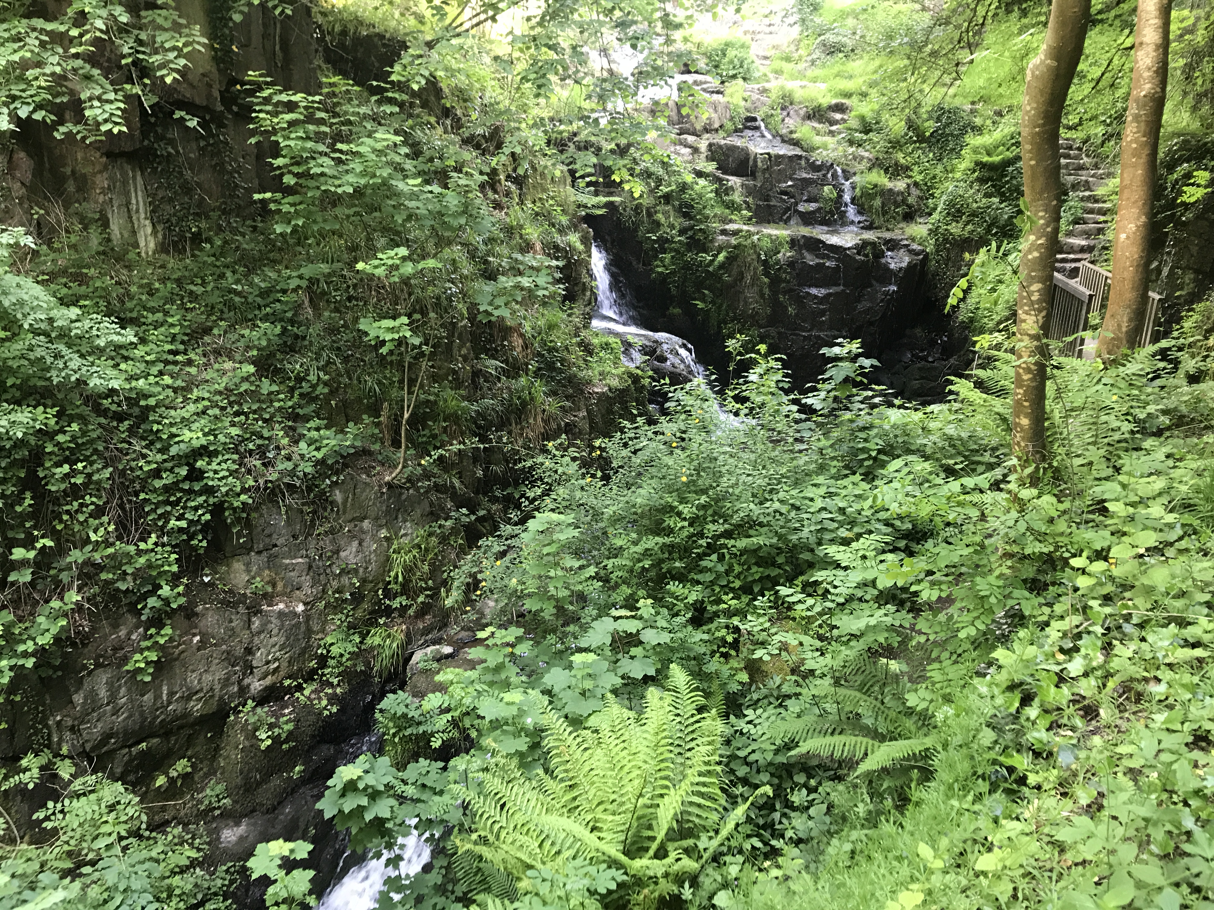
Although the map showed the trail crossing the Cance at the Grande Cascade (Big Waterfall), the trail markings unmistakably led me to the Petite Cascade (Little Waterfall, obviously), a series of short waterfalls in a valley. I love the sound of flowing water, and the valley was quite peaceful in the early morning.

To the northwest, water streams down a series of rock faces, passing below the viewpoint at the bottom left of the photo.  Brush, ferns, and small trees grow wherever they can on the rocks and walls, forming green curtains in the foreground and background.  At the right of the photo, we can see a narrow bridge, and beyond that a rough stone stairway leading up to the right of the waterfall.
Looking back up at the Petite Cascade. The trail came down the stairs and across the bridge on the right of the picture.

Across in Mortain, I stocked up on groceries, went to Bou­lan­ge­rie Julien Patrick for bread and pastries, and then headed up out of town.

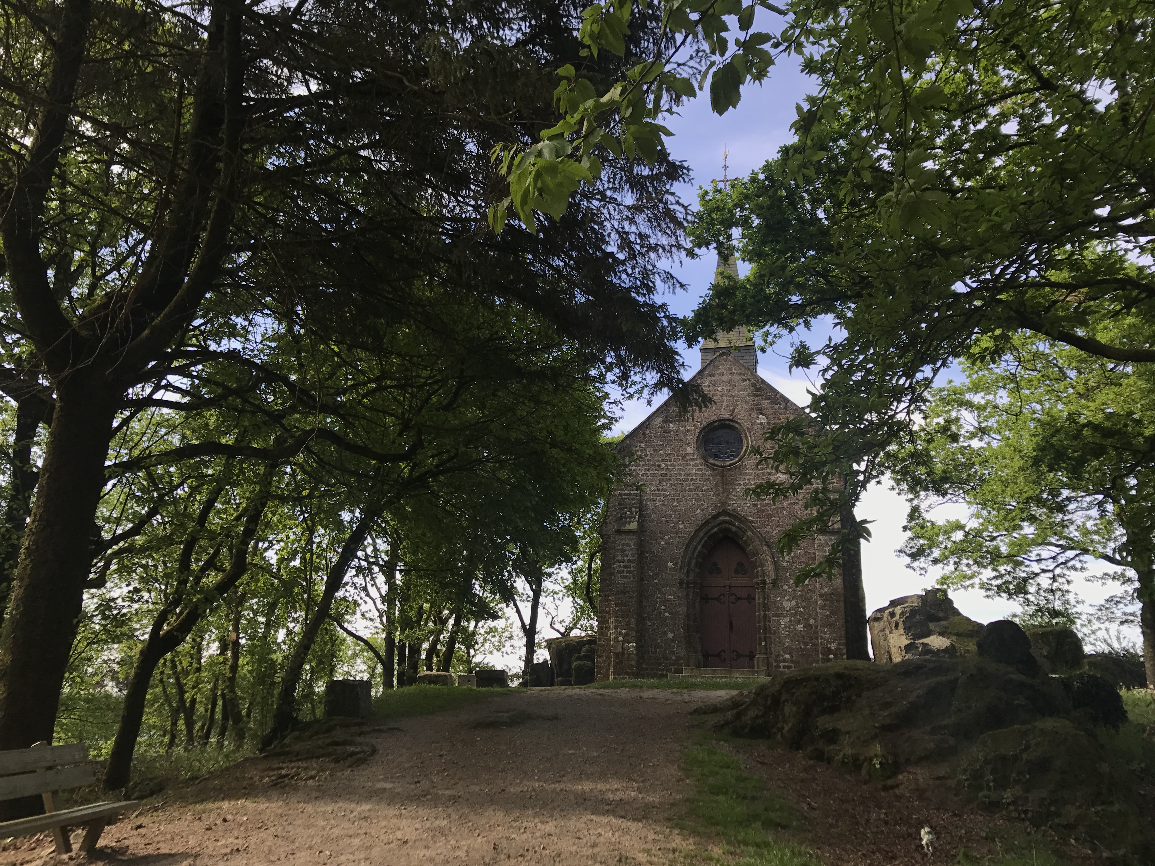
The trail headed out of Mortain to the east, up a hill called Montjoie, where there was a well-tended United States Army cemetery. An American battlion, giving it the the poetic name “Hill 314”, was surrounded here by a German counterattack shortly after the Normandy invasion, but managed to hold out until the Germans were driven back out a week later.

A wide dirt path leads to a tall chapel, seen end-on; trees on either side of the path lean over and provide shade.  At the front left is a wooden bench at the side of the path; to the right are low rocks.  The chapel is made of neat stone, with a peaked pair of double doors below a small, round window.  Nothing can be seen beyond the chapel, suggesting it is perched at the top of a slope.
Chapelle Saint-Michel, near the cemetery.

After Mortain, the trail was almost entirely isolated; it first wound east through the Forêt de Mortain.

A dirt trail leads away to the north; on all sides are tall, narrow trees.  On the left, a hillside climbs up; to the right it descends.  Though the trail is shaded, the upper leaves of the trees are bright green.
A typical view in the Forêt de Mortain.

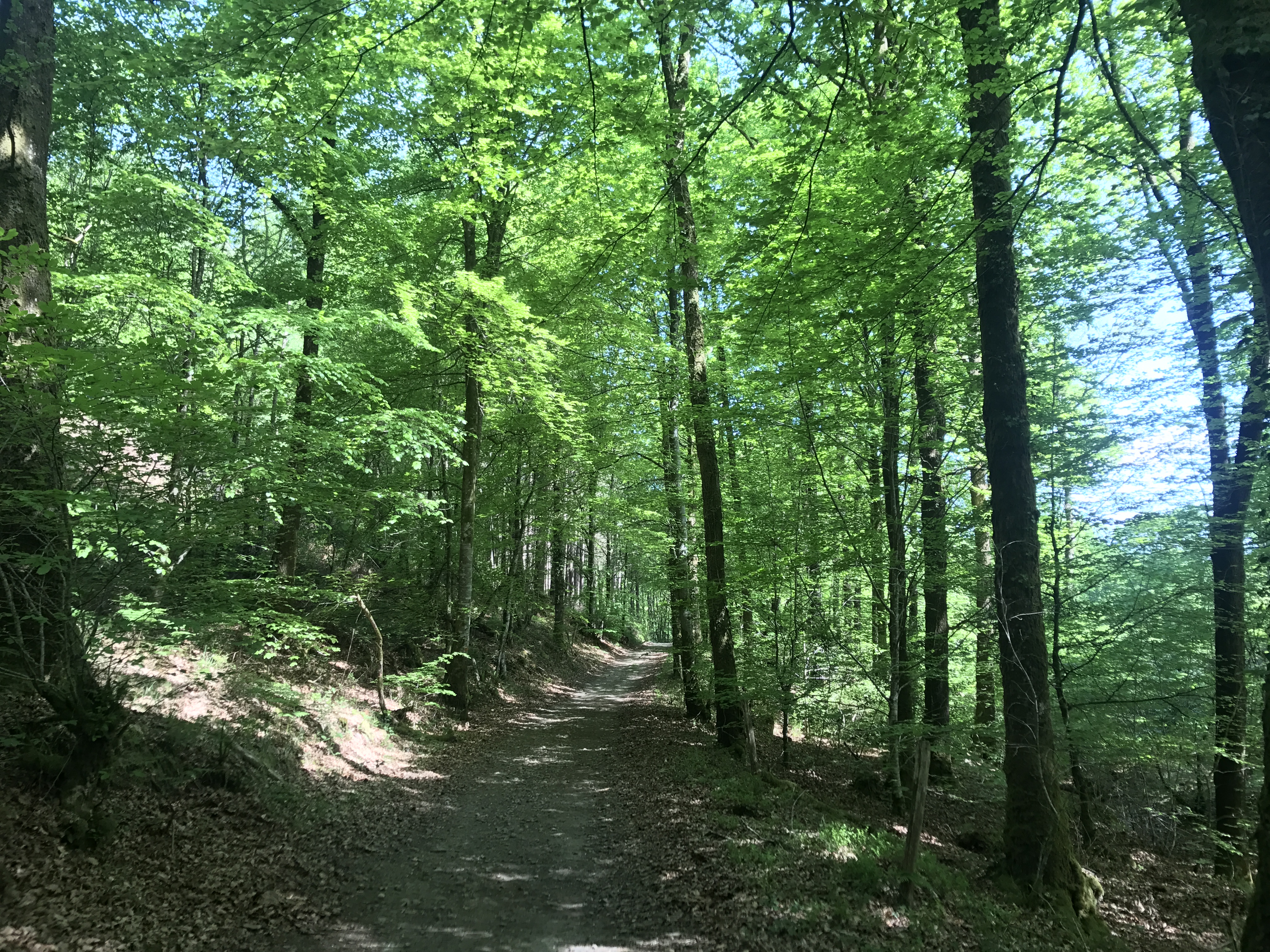
From there, it continued winding east through the Forêt de la Lande Pourrie (“Forest of the Rotten Heath”, which I don’t remember being quite so bad as that). After the rotten heath, the trail ran almost perfectly due east, first along a ridge and then below it.

A round stone tower, perhaps thirty feet high, is covered in ivy; there even appear to be small trees growing from its top.  A narrow path leads through brush towards the trail, blocked by a simple wooden fence with a green sign.  Trees grow to either side of the tower and behind it; the sky is overcast.
Atop the ridge was this great decrepit tower. The sign at the bottom read “attention — bâtiment en ruines — danger — chutes de pierres” (“warning — ruined building — danger — falling rocks”, roughly).

Near the settlement of le Gué Safray, I headed north to my night’s destination. At this point it had started raining, a steady, relentless drizzle. The directions I’d been given led me to another little settlement and then over a stream and across a recently-plowed field, turned mucky by the rain. The directions were clear, though, and I reached it with only a little discomfort. I won’t describe the place further, but if you’re planning to stay in a home in the commune of Lonlay-l’Abbaye, touch bases with me first.

Map of the day’s route.