pile.org
2017 E5 walk, day 44: Carrouges to Alençon
48°34′4.4″N
48°25′46.4″N
This day, I had no choice but to reach Alençon, and as a result I made more forward progress along the trail than any subsequent day.1 I woke up early, ate a large breakfast provided by my host, got sandwiches and pastries from La Gourman’Duis, and started walking before 8:30 AM. Within just a few minutes, I’d left Carrouges behind.
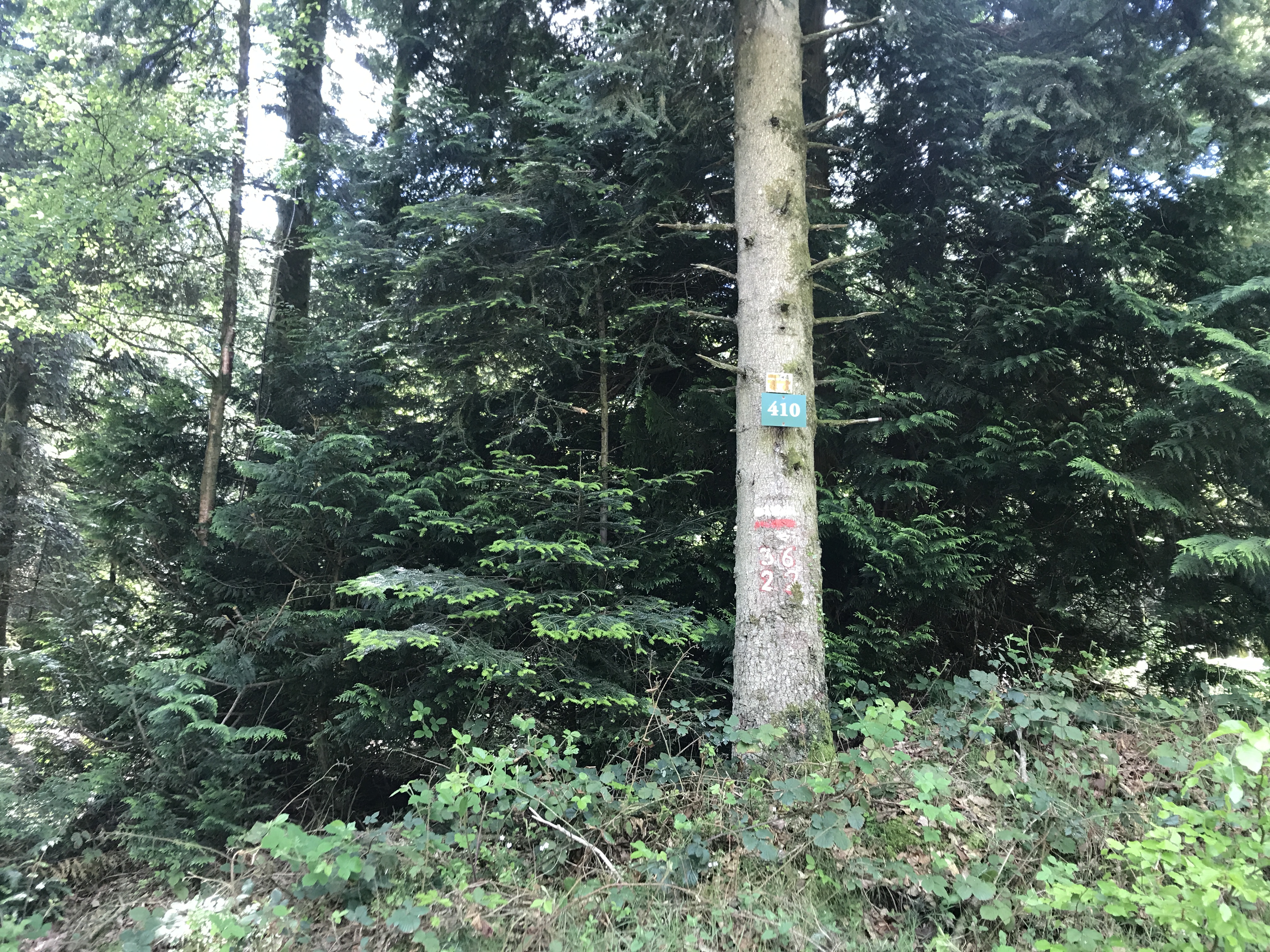
On the current IGN map, the trail is somewhat different (and distinctly shorter) than the trail I followed. That said, I recall walking past a quarry to reach the village of Rouperroux, and then headed into the the Forêt Domaniale d’Écouves, a large forest criss-crossed with apparent (former) logging roads, which the trail traced for most of the day.
Shortly before noon, I finally crossed the Greenwich meridian — until today, the entire trip had technically been in the western hemisphere.
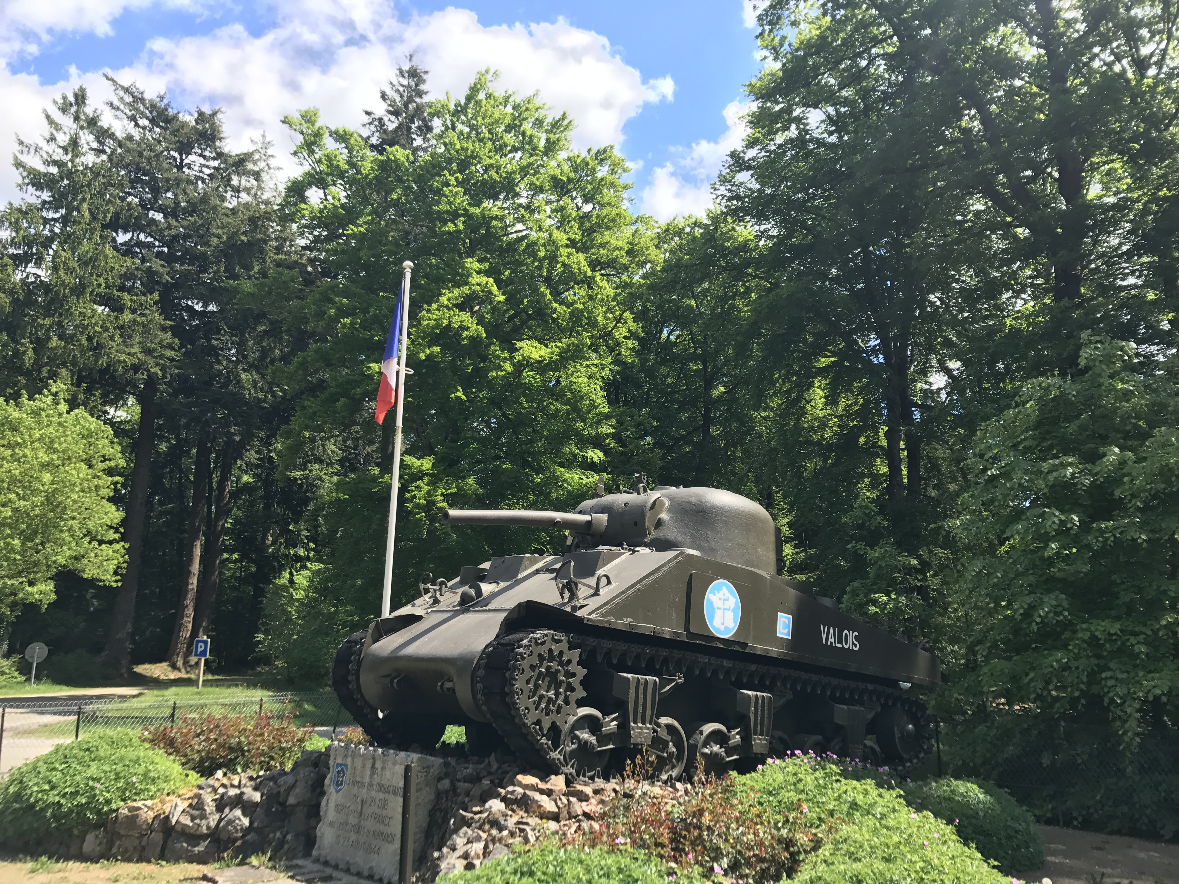
A few roads passed through the forest, occasionally intersecting at crossroads; at one such, the Carrefour de la Croix de Médavy (“Crossroads of the Médavy Cross”), there was a monument to French soldiers who died trying to dislodge retreating German soldiers from the forest.
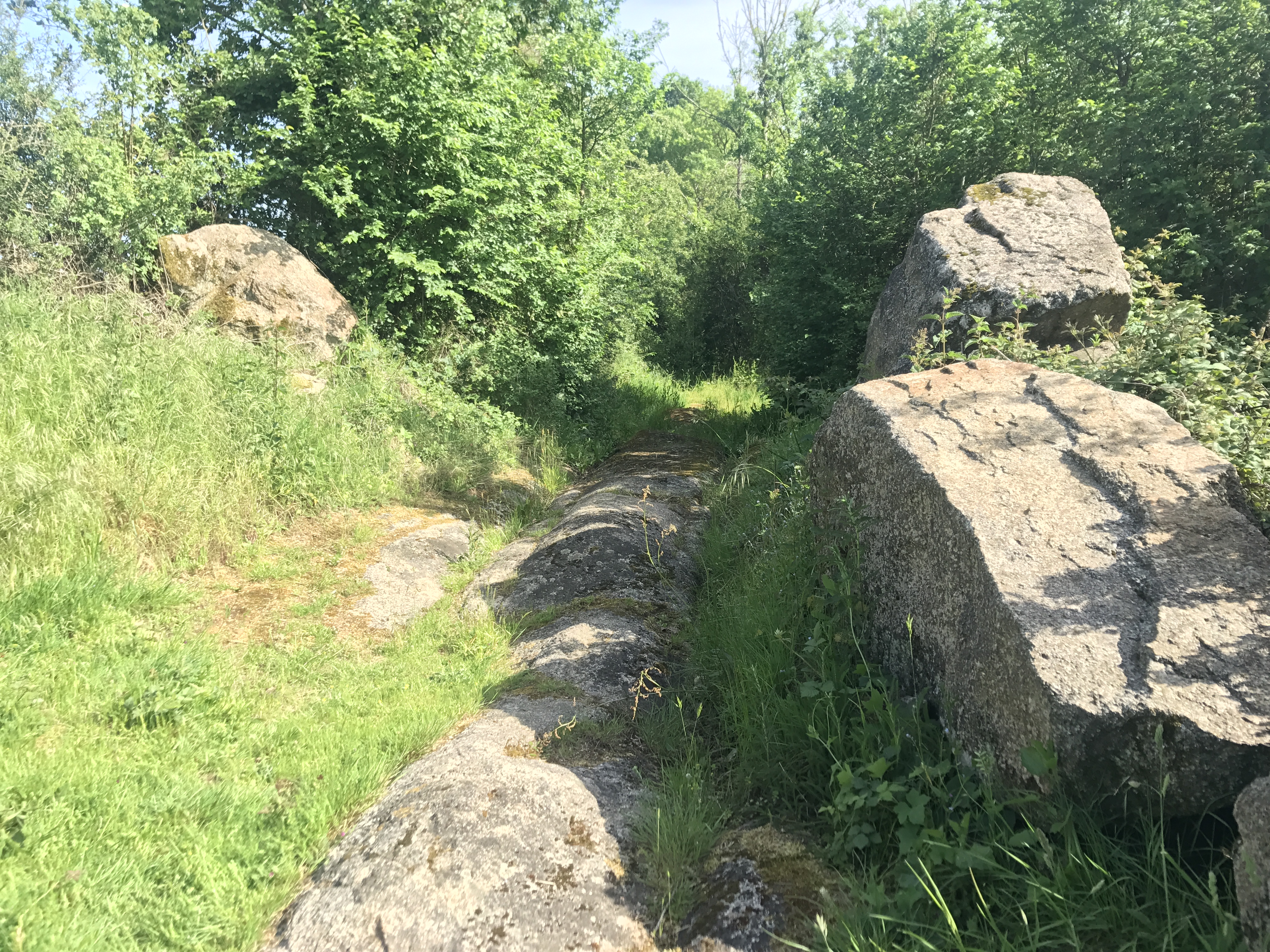
One stretch of trail (I can’t identify the exact section, though I remember I was heading east) had been covered with fist-sized rocks, presumably in an attempt to make it easier to walk on. In fact, the stones were exactly the wrong size (reminiscent of the railroad track outside Médréac), shifting and sliding enough that I wrenched my ankles a few times.
Around 4 PM, the trail left the forest at the town of Radon, and wound west and then south towards Alençon.
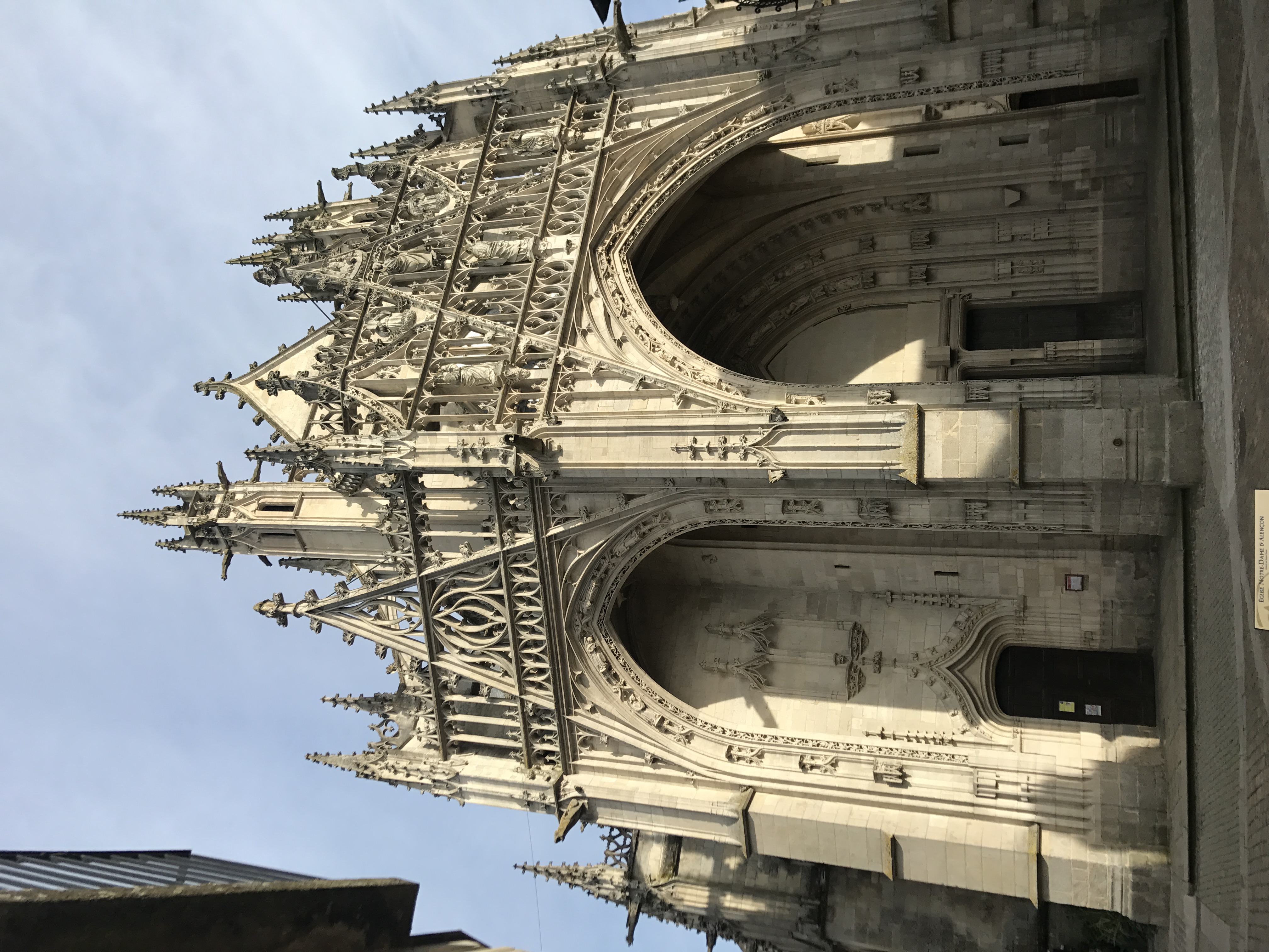
I reached the outskirts of Alençon a little before 6 PM.
I stopped at a chain boulangerie, la Mie Câline, to pick up dinner (a sandwich and pastries), and arrived at the perfectly adequate Hôtel de Paris around 7:15 PM — almost 11 hours door to door.
The hotel was literally across the street from the train station, so I got tickets for the next day’s journey, returned to my room to eat dinner, and slept.

-
There was one more day with more steps — but recall that a day’s count of steps includes returning to the trail, making forward progress along the trail, perhaps a small detour for food, and leaving the trail to reach a place to stay. The previous night, I had stayed just a couple blocks from the trail, and my hotel in Alençon was perhaps a quarter mile from the trail, so almost all of the steps were along the trail. ↩︎