pile.org
2017 E5 walk, day 48: La Bruyère to la Chapelle-Montligeon
48°23′27.0″N
48°29′2.2″N
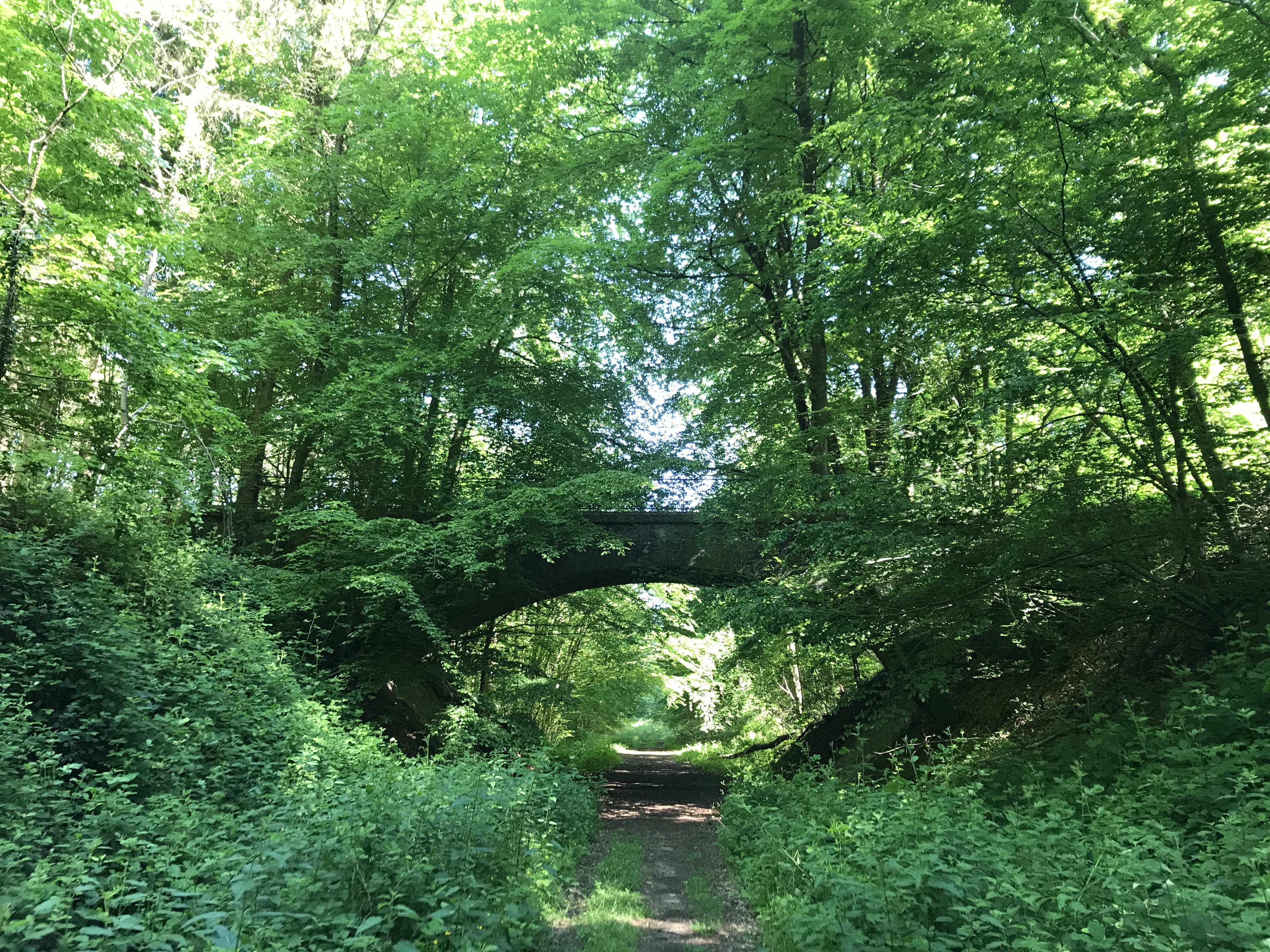
I took my time leaving Bellême in the morning, because my destination was only a few hours away (to set up the following day’s walk to be roughly the correct length). I got my traditional sandwich and pastries at le Carré Bellêmois, and stopped at two grocery stores for some reason that escapes me at this point (I’m guessing that the first wasn’t open when I got there).1 I then headed back up out of town and into the forest.
The trail left the forest a bit after noon, and I stopped to eat a sandwich in front of the church in the village of Saint-Ouen-de-la-Cour, resting in a bit of shade from the churchyard’s wall.
From there, the trail followed a country road to the village of Colonard-Corubert, and then a little beyond to my destination for the evening, a gîte in a farmhouse just off the trail. But when I got there, there wasn’t anybody around, nor did they answer their phone, and I got a vague sense that nobody had been there for a while. (I couldn’t put my finger on it, and I have no idea if I was correct.) I stayed a bit, trying to figure out what to do, and then gave up and returned to the trail. I figured I’d keep trawling the internet for places to stay, or run across one before I had to stop for the night.
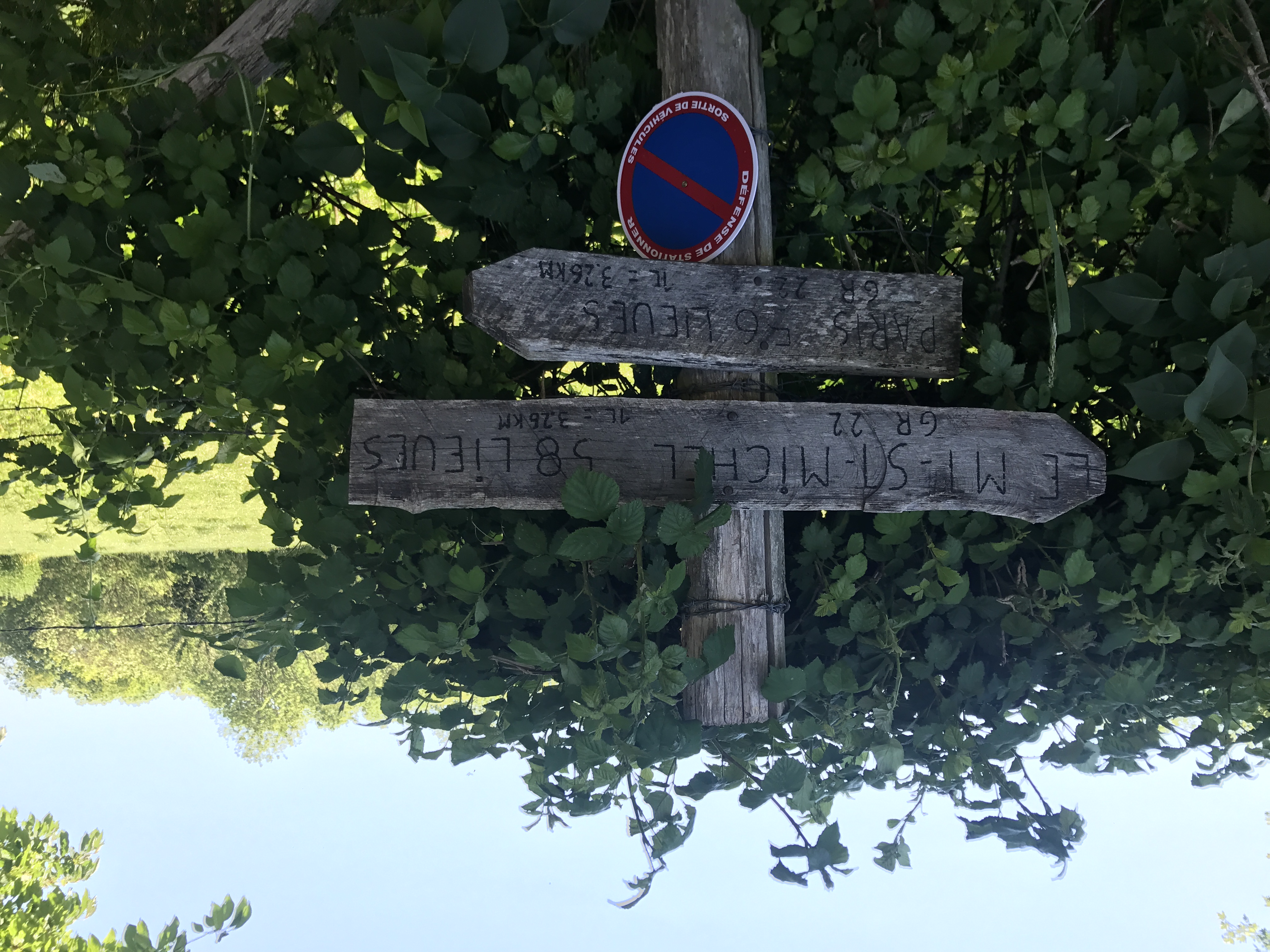
Just 15 minutes later, I came across a man in perhaps his mid-60s, on his own long walk in the opposite direction (the “correct” direction from the perspective of the Paris–Mont-Saint-Michel pilgrimage). We stopped and compared notes.2 It turned out that he was heading to the same gîte I just had been to. I mentioned the campsite in Bellême, maybe four hours ahead of him at this point, and he recommended a gîte d’étape in la Chapelle-Montligeon, perhaps four hours ahead of me. He seemed undaunted, and practically bounded off to get to his new destination. I didn’t feel quite so optimistic — I hadn’t been expecting this long of a walk for the day — but headed off, keeping the possibility of stopping earlier in the back of my head.
It was a hot day, but I pressed on ahead, and reached the village of la Chapelle-Montligeon around perhaps 6–6:30 PM. The village was slightly larger than Maison-Maugis, though perhaps only because of the massive neo-Gothic Basilique Notre-Dame de Montligeon that dominated the skyline.
Unfortunately, the gîte was closed for Ascension, and only people with advance reservations could get in.3 I met one of the few people staying there, who suggested I try the sanctuary for pilgrims associated with the church. I was a little uncomfortable with the idea — I wasn’t a pilgrim!4 — but the sanctuary had space (fortunately, given that it was a holy day), and was serving dinner soon, and the person working the front desk was not concerned when I clarified that I wasn’t religious.
I got to my room (small, with no private bathroom), made another phone call about the lost debit card, was late for the communal dinner (but they let me in anyway), and then I wandered around the church grounds at dusk before bed.


-
The most impressive thing about the first (both were Carrefour locations, roughly the French equivalent of Safeway) was its huge — almost square — handicapped parking space and its adjacent parking space reserved for customers with children. ↩︎
-
Writing about this encounter in 2020 and editing it in 2021, during the plaguetimes, I keep reflexively worrying about how close we were standing — without masks! we probably shook hands! — before I’m able to remind myself that this was the Before Times. ↩︎
-
My editing notes here say “add something about planning ahead”. I was going to defensively note that this wasn’t where I’d planned to stay, so it wasn’t my fault for not planning … but I hadn’t gotten my act together to call ahead to the first place, either. ↩︎