pile.org
2017 E5 walk, day 53: Les Caves to Muzy
48°45′19.0″N
48°46′5.2″N
I headed out of town, stopping for pastries at Fournil Saint-Rémy, but took a longer route back up to the trail (to avoid the narrow road I’d walked down the previous afternoon).
Along the way, I stopped for some fruit at la Halle de Nonancourt1 (“the market hall of Nonancourt”, basically a roadside fruit market), and then wound up some side streets to get back to les Caves. The trail headed up over a rise, before dropping back down to a stream valley.
The trail then descended back to the eastern outskirts of Saint-Rémy — it wasn’t a route that anybody would have taken who wasn’t focused on walking (almost) every foot of it. (I walked maybe four or five miles to get to and then follow the trail, compared to maybe a mile and a half if I’d gone straight through town.)
I crossed the Avre for the third time so far that day (not counting leaving the campground’s island), and continued following the trail downstream to the east. Soon after noon, it headed back down to cross the Avre a fourth (and final) time, passing through clearly-marked private property.2
After crossing to the south bank one last time, the trail continued east to the village of Muzy, where it turned to head south up a valley road towards the large town of Dreux. (I hadn’t been able to find a better place to stay for the night, so I was aiming for a cheap motel on the edge of town.) Just after the trail turned up a dirt path into a woods, I left it and continued south through the woods and some fields, to the town’s industrial northern outskirts, and to the Hôtel Stars.3
The hotel wasn’t awful, but it wasn’t especially great — it felt a little like the French equivalent of a Holiday Inn. (In hindsight, it might have been better to just continue walking and camp on the side of the trail.) I didn’t spend much time in the room; I chose to escape and head up into Dreux proper.
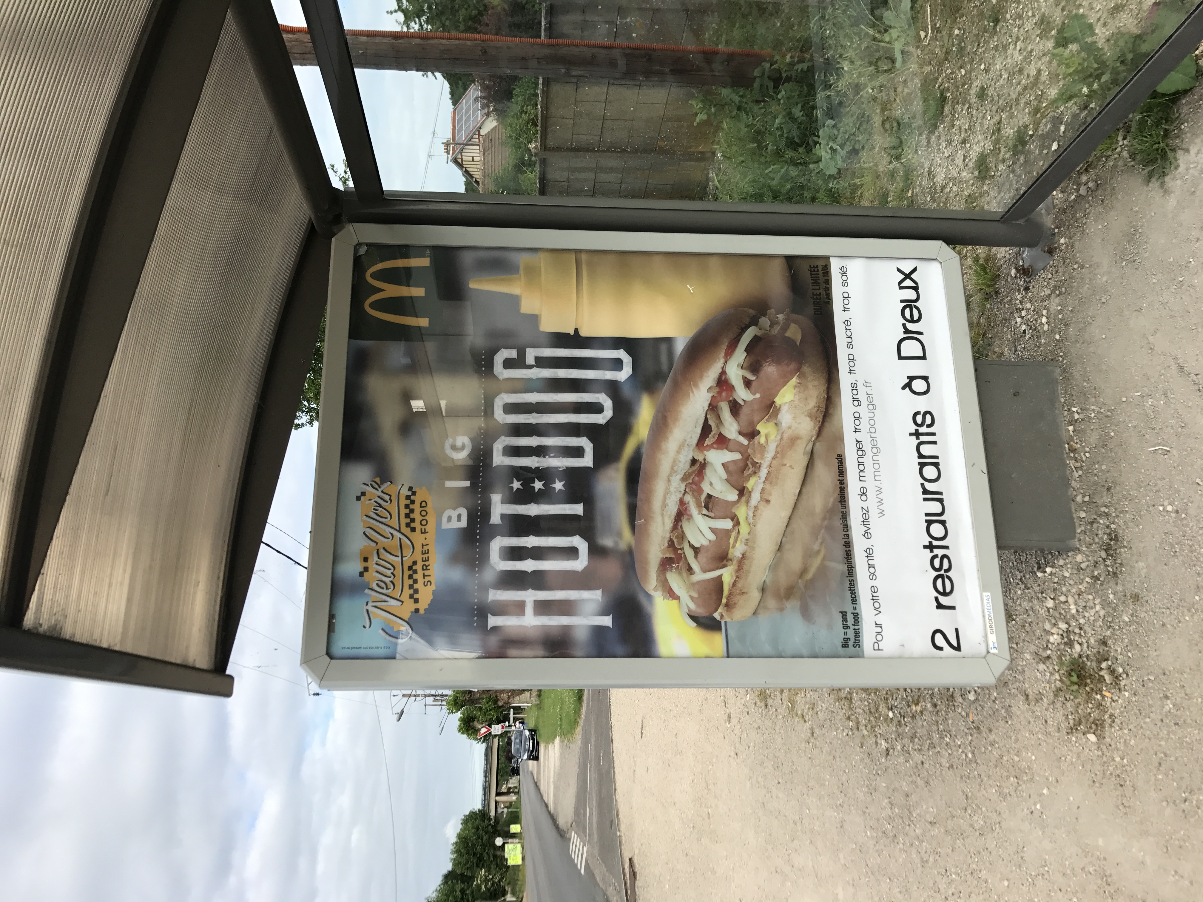
Dinner was döner kebab again, this time at Delice Kebab. Aside from the industrial outskirts, Dreux felt a little like Avranches — a non-touristy town that was doing its own thing, unrelated to the GR 22 trail a couple miles outside of town. Most of the half-hour walk back to the hotel was nice, though the last few minutes and the hotel itself were kind of a drag.

-
Saint-Lubin-des-Joncherets (the town I’d stopped in the previous afternoon) and Saint-Rémy, along with the towns of Nonancourt and la-Madeleine-de-Nonancourt, formed a weird demiurban agglomeration. ↩︎
-
I’m sure various stretches of trail crossed through private property — just for one example, there was the pasture on day 2 — but this had what seemed like an excessive number of signs to the effect of “please be respectful and don’t leave a mess”. ↩︎
-
It now appears to be an Hôtel Kyriad Direct; hopefully they have a less-bleak operation. ↩︎