pile.org
2017 E5 walk, day 54: Muzy to Boncourt
48°46′5.2″N
48°50′51.3″N
I walked over to Boulangerie J. Feuillet, a few minutes from the hotel, in what I would call a French strip mall; it felt kind of like a Starbucks. Back at the hotel, when I checked out, I asked the person at the front desk to call a cab — I was not the slightest bit excited to walk back through the industrial park to the trail. The cab dropped me off right at the trailhead.
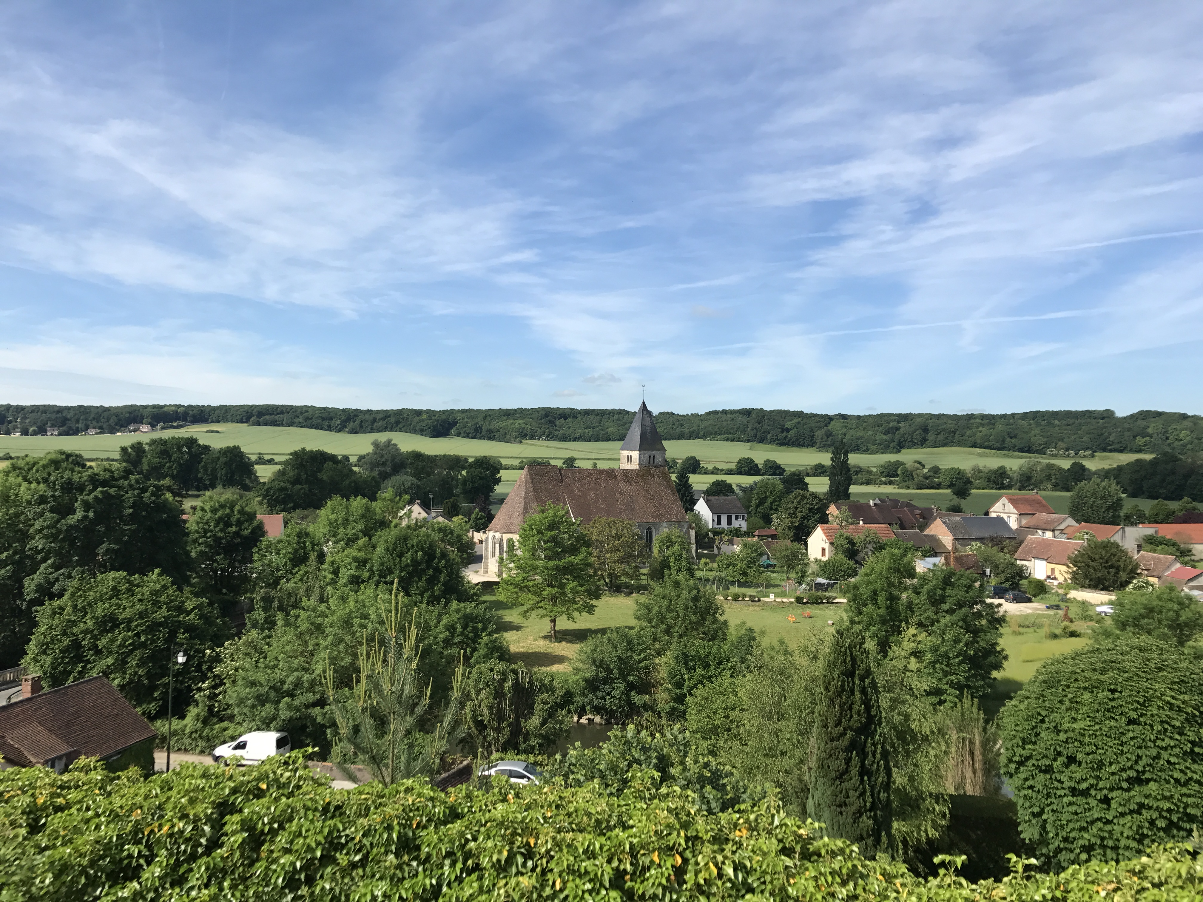
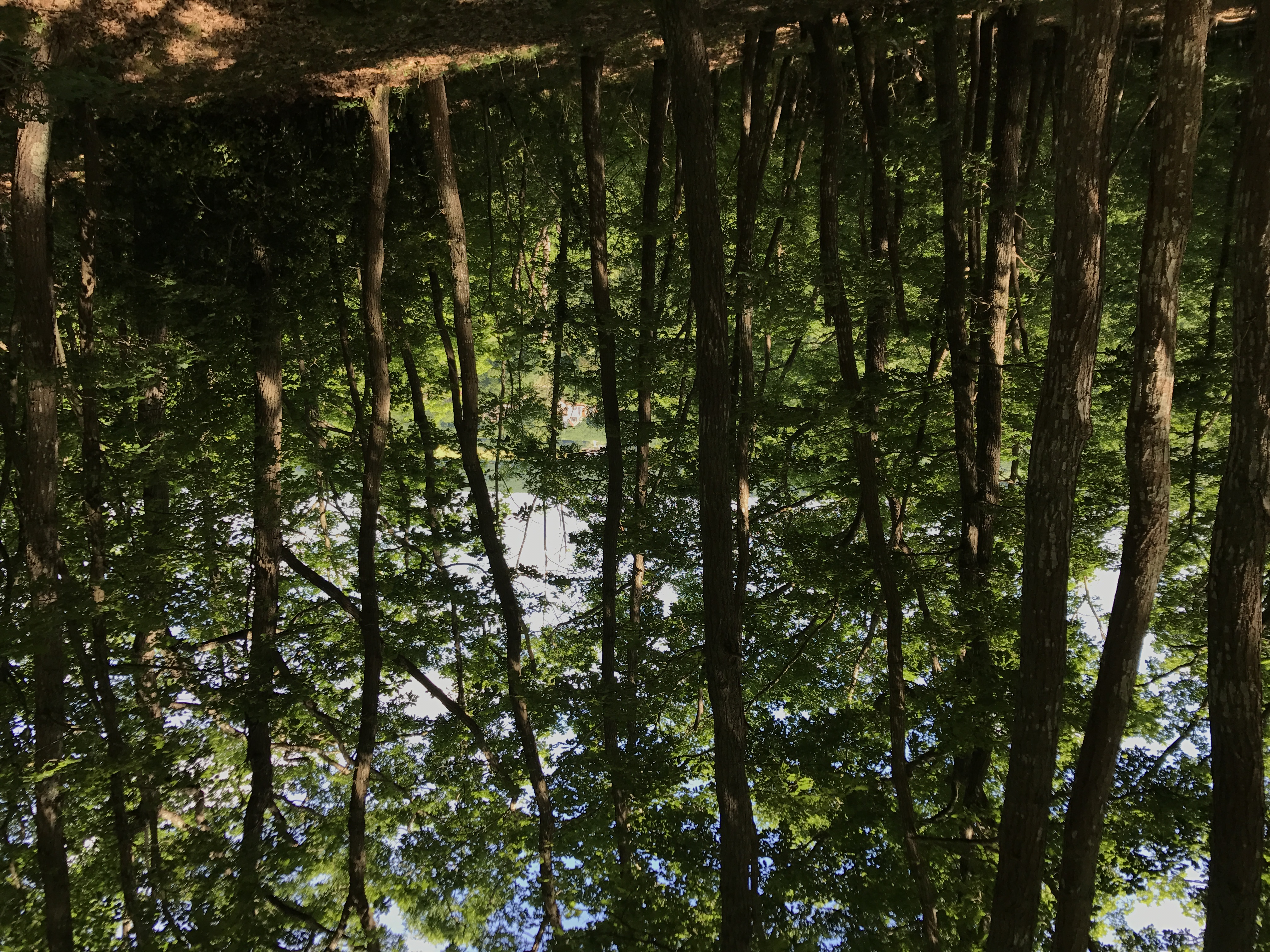
I climbed through a small woods, and then back down past the village of Montreuil, near where the Avre flowed into the Eure River. Crossing the Eure, I climbed a steep bluff up into the Forêt Domaniale de Dreux, where I would spend much of my day.
The trail more or less skirted the top of the bluff that formed the western border of the forest. About an hour along, it passed by the 400-year-old ruins of the Château de la Robertière, barely discernible through the trees and brush.
Near the northern edge of the forest, the trail zigzagged to the east-southeast, until it reached a grand crossroads in the middle of the forest. From there, the trail went mind-numbingly straight to the northeast, until it wound down to the town of Anet.
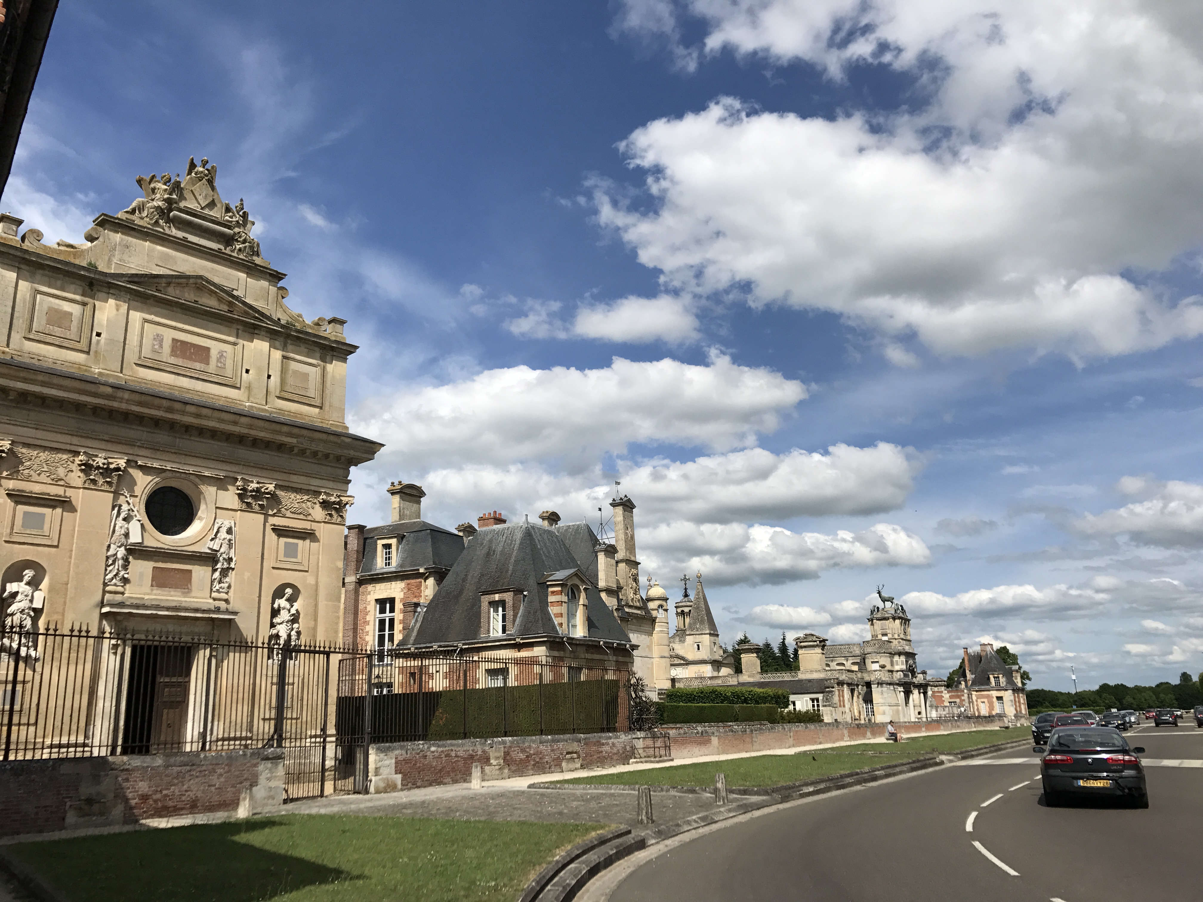
Anet was cute; the streets looked like a 1950s ideal of a small town. I had plenty of time until I reached my day’s destination, so I detoured to stock up on groceries, then stopped at a boulangerie to get a sandwich and pastries for dinner.
The trail then headed out of town to the east and wound its way to the southeast before reaching the village of Boncourt. A small road below the main road led back to the village’s gîte, basically a series of rooms above a fairly modern rec hall. It felt like the opposite of the previous night in Dreux: small, modern, and quiet, looking out over fields. I pulled a chair out onto the deck to eat dinner in the pleasant evening, and slept soundly that night.
