pile.org
2017 E5 walk, day 59: Viroflay to Paris
48°47′28.0″N
48°51′30.3″N
I ate breakfast in the campground’s restaurant, picked up croissants for the road (I’d ordered them the night before), and returned to the trail.
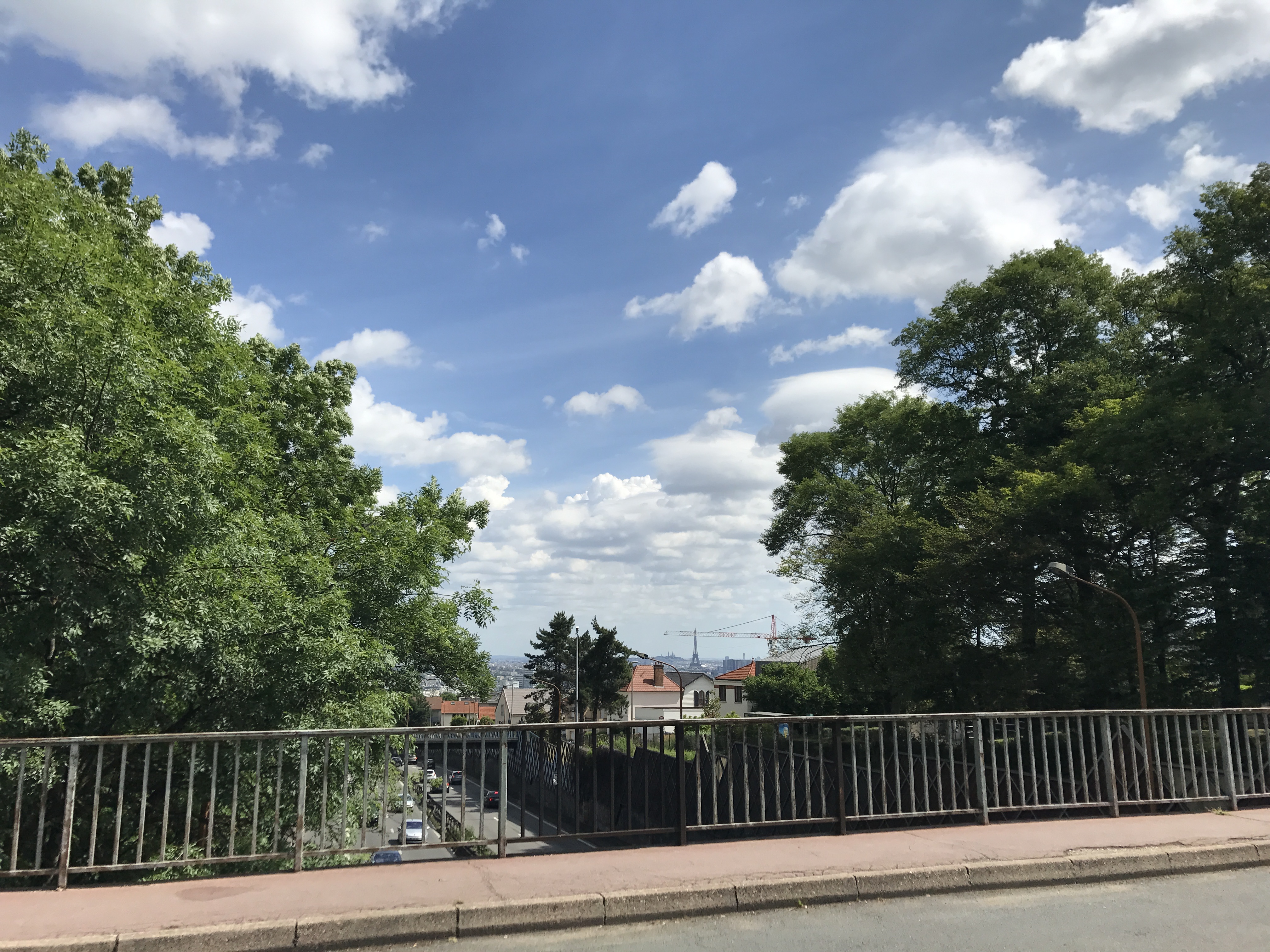
The first half of the day, the trail took a large S shape to follow scraps of forest into Paris. It started near Viroflay; near Vélizy-Villacoublay, it followed a neatly-groomed path past a cemetery. It climbed up a bluff to the Forêt Domaniale de Meudon, and wound north along the top of the bluff, before descending back down and being joined by the GR 2. It then curved around to the east, threading its way past Sevres, a suburb. At this point, crossing a highway, I got my first glimpse of Paris proper.
The trail soon left the woods for the final time, entering the suburb of Meudon. (From this point on, with a few brief exceptions, the trail was just a designated series of roads and walkways.) I followed the trail north, leaving briefly to head down to Boulangerie Pâtisserie Thomasse for a late sandwich. Returning to the trail, I descended down to the Seine.
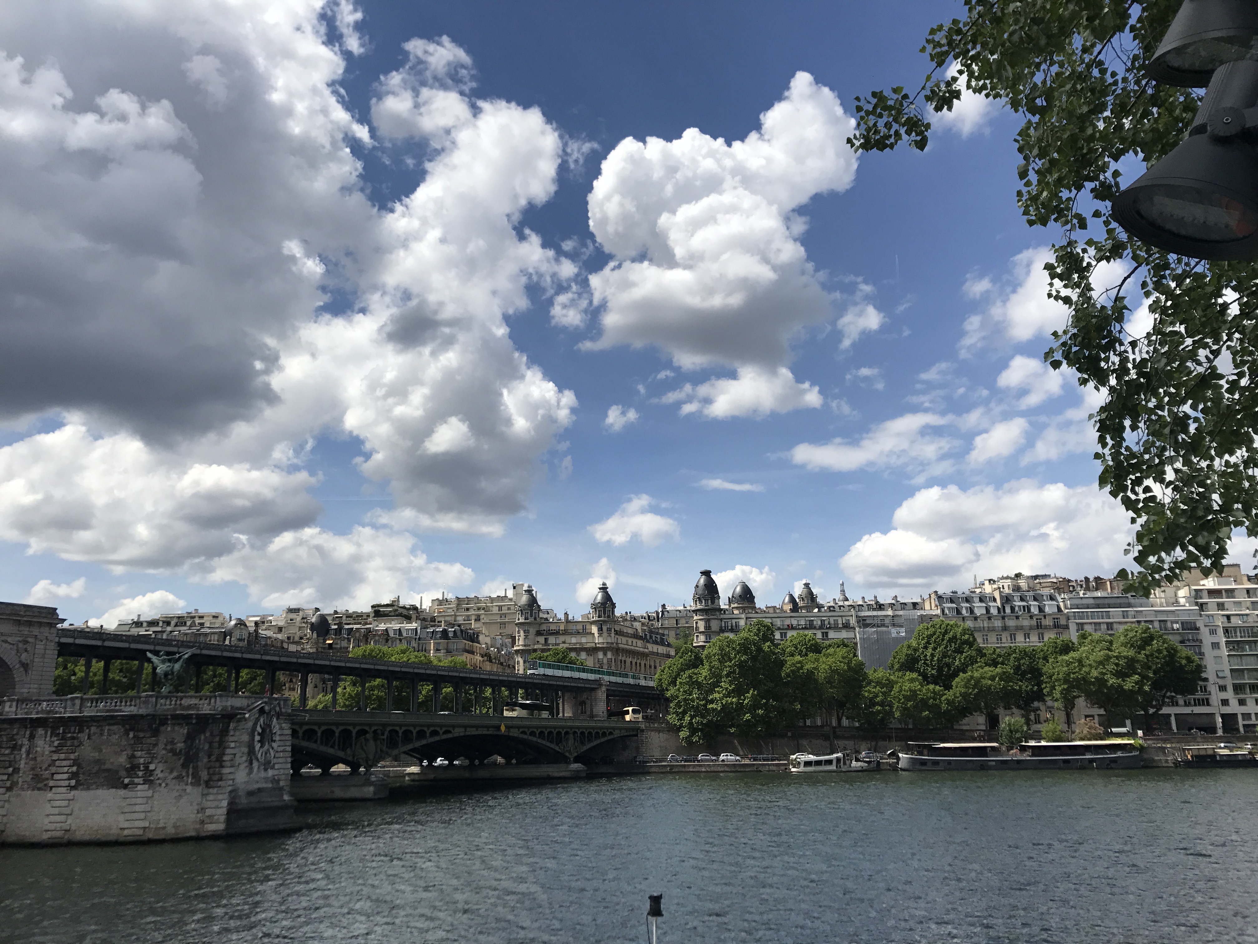
The trail followed the left bank (left when looking downriver — here, the south bank) upriver until reaching the Île Saint-Germain (“Saint-Germain Isle”, named for a settlement that was long ago incorporated into Paris and is now a neighborhood). It crossed a bridge (the Pont de Billancourt) onto the island and continued along the island to cross the Pont d’Issy bridge at the upper end. From there, it left the riverbank and headed inland for a while, passing through a series of parks and a hospital complex. It returned to the river and crossed the Pont de Grenelle onto a tiny artificial island, the Allée des Cygnes (“Swan Alley”).
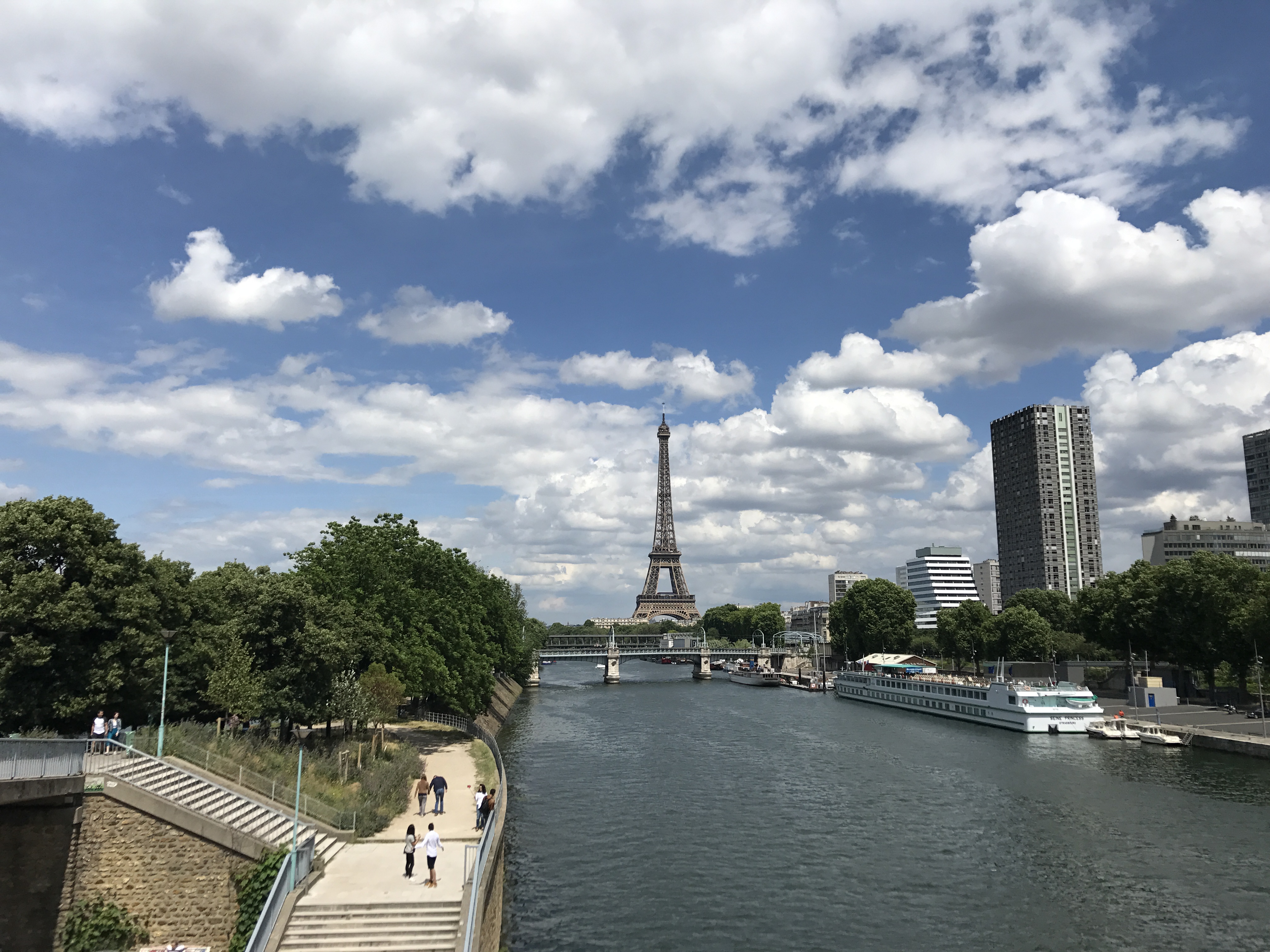
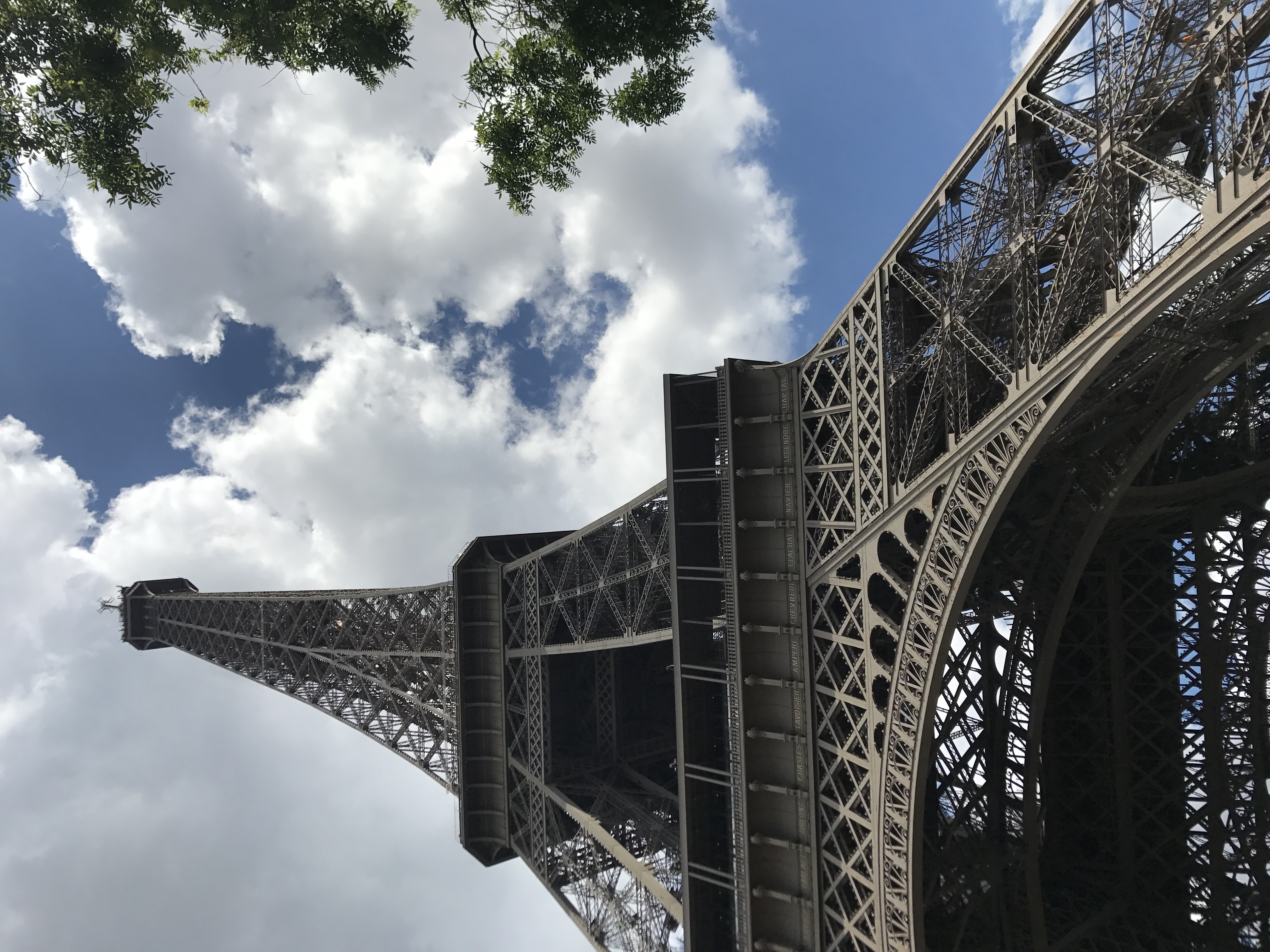
At the far end of the island, the GR 22 crossed over to the right bank, to head past the Champs Élysées and the Louvre to Notre-Dame. While that also would have been a fitting end to the walk, I decided to end it at the Eiffel Tower — starting at a natural marvel, visiting a medieval religious marvel at the midpoint, and ending at a marvel of early modern engineering. So, I followed the GR 2 across the Pont de Bir Hakeim back to the left bank.
And then it was just a few more minutes to the Eiffel Tower, the arbitrarily-declared endpoint of my 2017 long walk.