pile.org
2017 E5 walk, day 10: Saint-Rivoal to Coat Mocun
48°20′55.8″N
48°21′53.0″N
The first part of this day’s trail was an odd one, so odd that I posted about it at the time.1
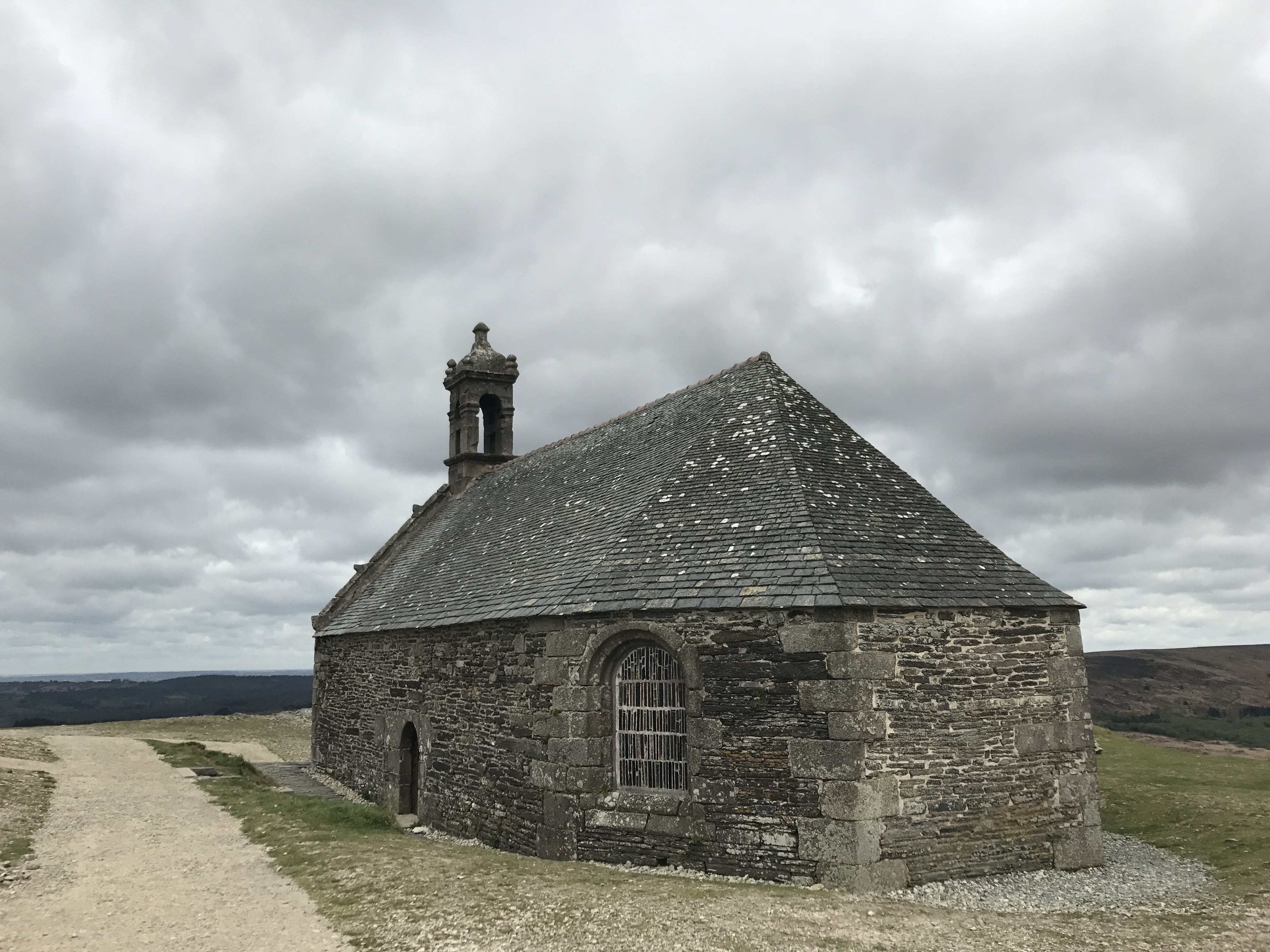
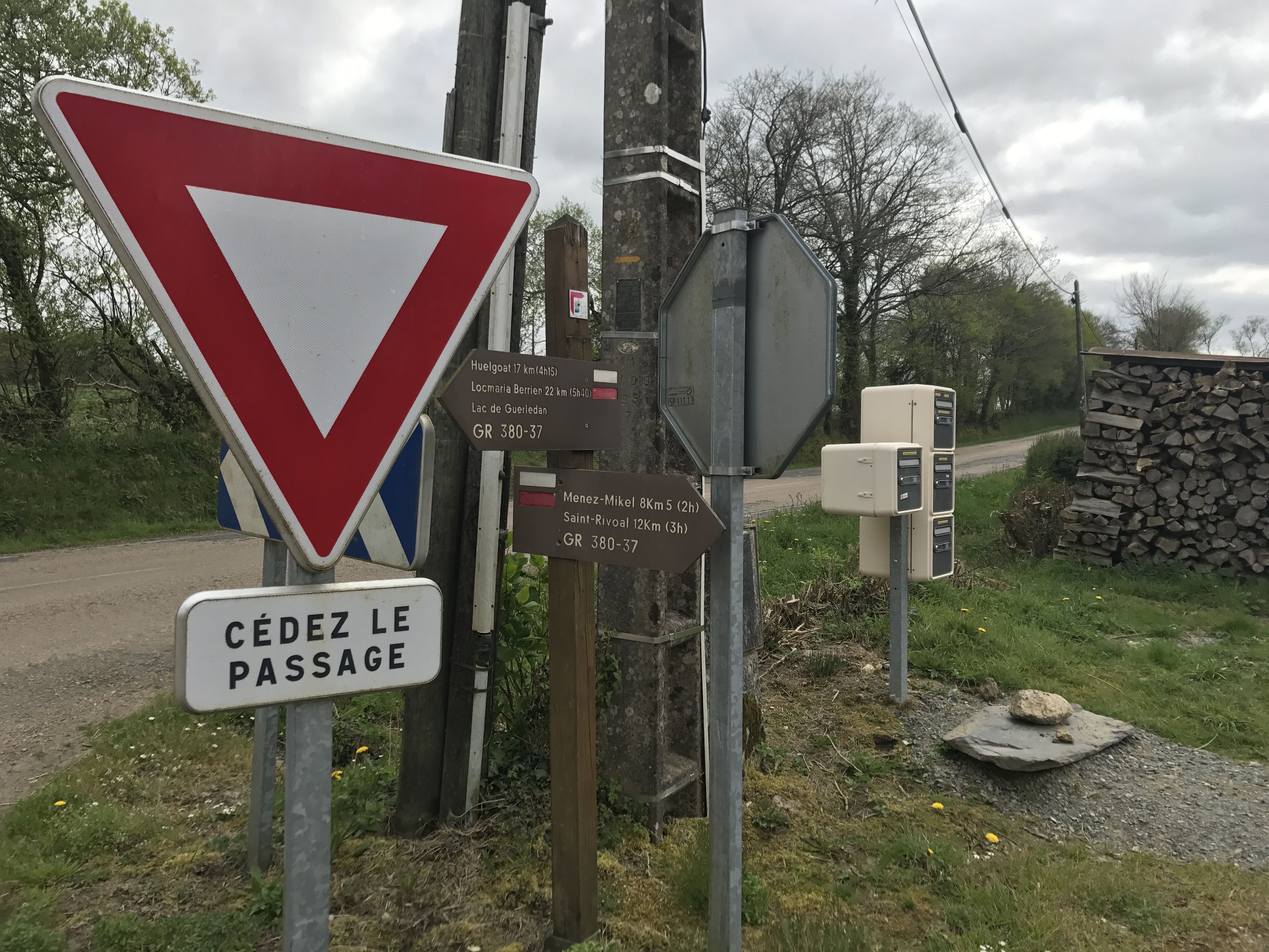
As back at Ménez Hom, the trail markings diverged from the map. This time, the GR 37 headed up to the peak of Menez-Mikael-an-Are, or in its French version, Mont Saint-Michel de Brasparts (as distinct from the better-known Mont-Saint-Michel that I’d visit later).
From here, the trail markings distinctly told me to go down the west side of the mountain … in exactly the opposite direction from my room reservation.
What to do? The correct thing, that I’d done twice so far, would have been to follow the trail. Looking at newer maps now, it appears the GR 37 would have joined up temporarily with the GR 380, to loop around a nearby lake. I did start heading that direction, but when it didn’t start turning the correct way soon enough for my liking, I gave up, and returned to the old trail-as-mapped.
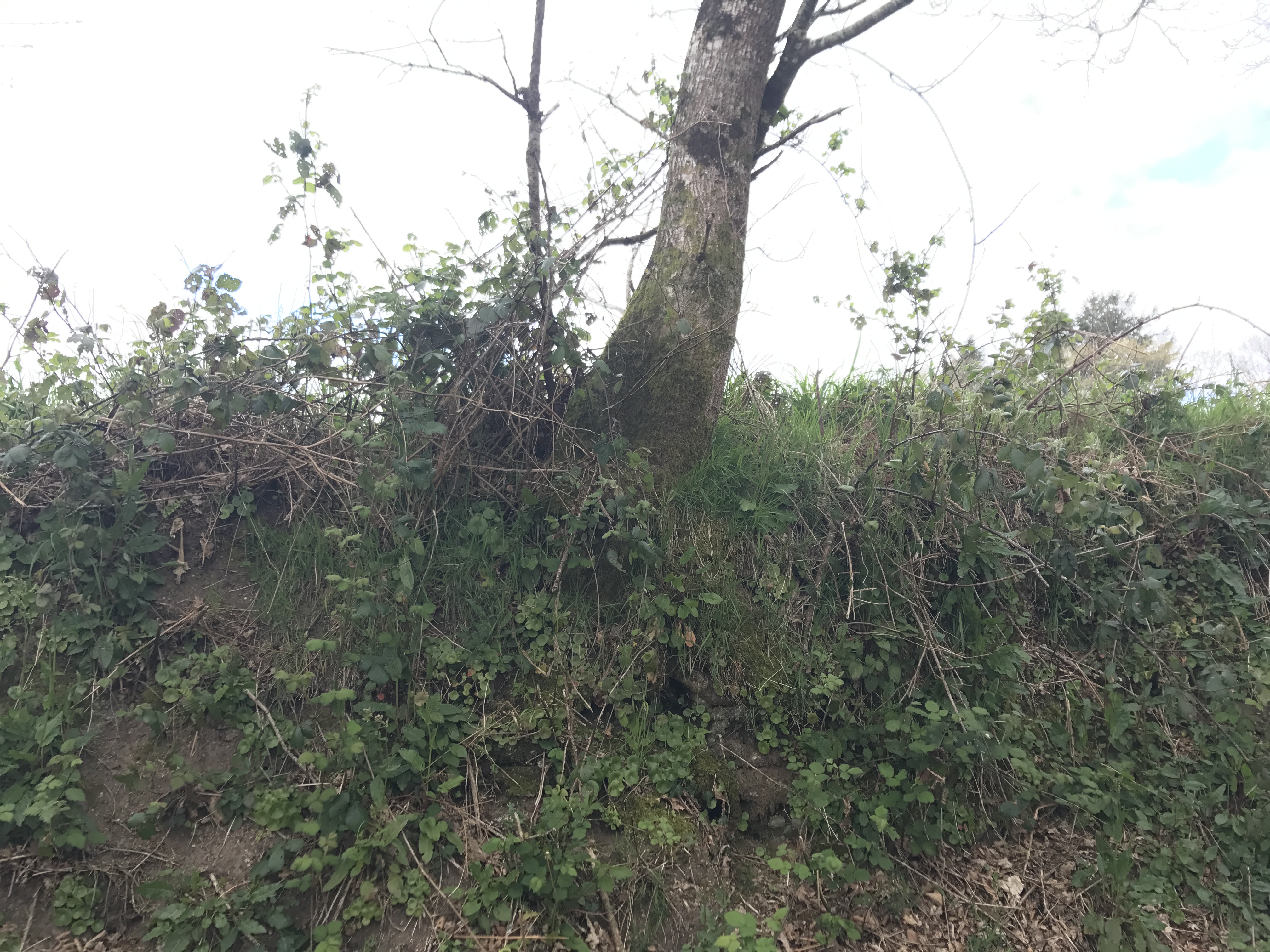
It turned out okay. The trail was definitely a little overgrown in places, but I was able to make it without difficulty, and ended up rejoining the GR 37 two hours later. (The “correct route” — updated maps still show the GR 37 more or less along the route I took — probably would have taken me a couple more hours, which would have been fine.)
From there, the marked and mapped trails were in alignment. I went through plenty of farmland. One of the types of trails I remember most fondly is the kind that runs down low between two fields. Over the years and centuries, the trail has been beaten down, and rocks from the fields have been piled up to define their edges with a rough wall. And then the walls get overgrown, so you’re walking in an almost-tunnel between the fields.
Among other things, the trail was almost always well-shaded, and the greenery was pleasant. (On the downside, sometimes the low trail became a little rivulet, like on the two previous days.) I would occasionally disturb a bird from the hedges or trees as I passed, and it would explode out across the field with a clattering of wings.2
I eventually reached the village of Coat Mocun, where I left the trail for my tiny apartment in Le Cloître, maybe 15 minutes away. The building3 was owned by a couple originally from England. One of the owners explained that the storm I’d been seeing signs of was called Tempête Zeus, “Storm Zeus”, and it had blown through several weeks earlier, doing serious damage across Brittany. While we admired the massive tree in his garden that had been uprooted by the storm, he told me that the building was originally laborer housing, and had recently been renovated.
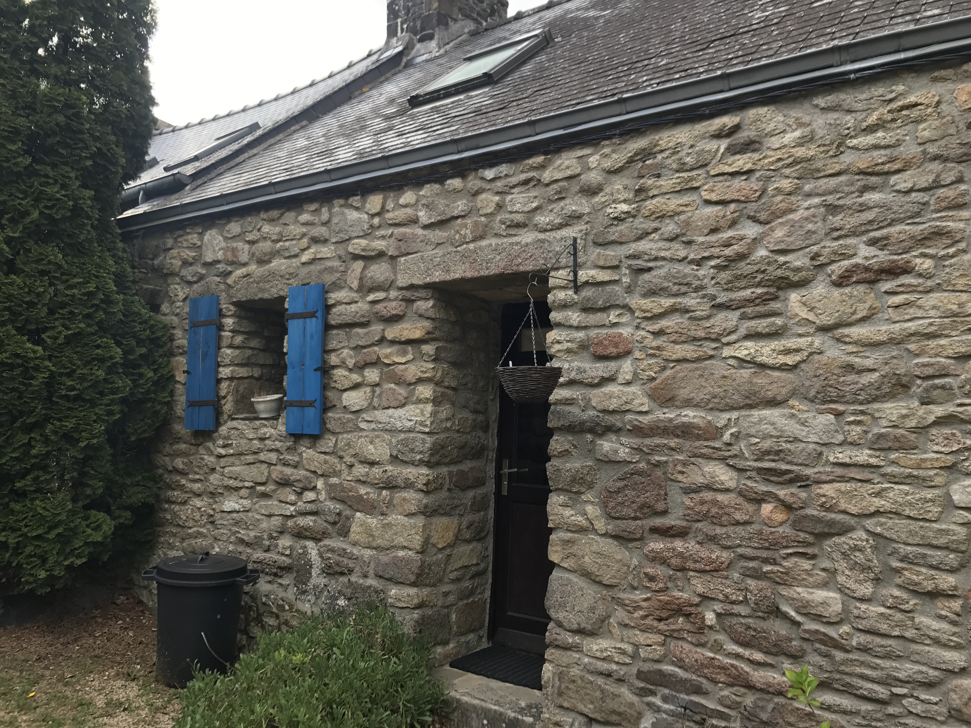
Other than a pretty uncomfortable mattress, the apartment was perfect. I made myself some simple pasta and retired for the night.


-
This was my only post from the trail, despite my better intentions. ↩︎
-
I was intensely curious what these birds were, but not so curious that I got the slightest semblance of birding knowledge: In the end, they turned out to be common wood pigeons. ↩︎
-
The building had two other apartments, one of which was occupied by a punk rock band from Italy. ↩︎