pile.org
2017 E5 walk, day 11: Coat Mocun to Huelgoat
48°21′53.0″N
48°21′47.4″N
The crow’s flight — or even the car’s route — to Huelgoat would have been brief and probably uninteresting, but the trail wound around and approached the town from the north, through some pleasant farmland.

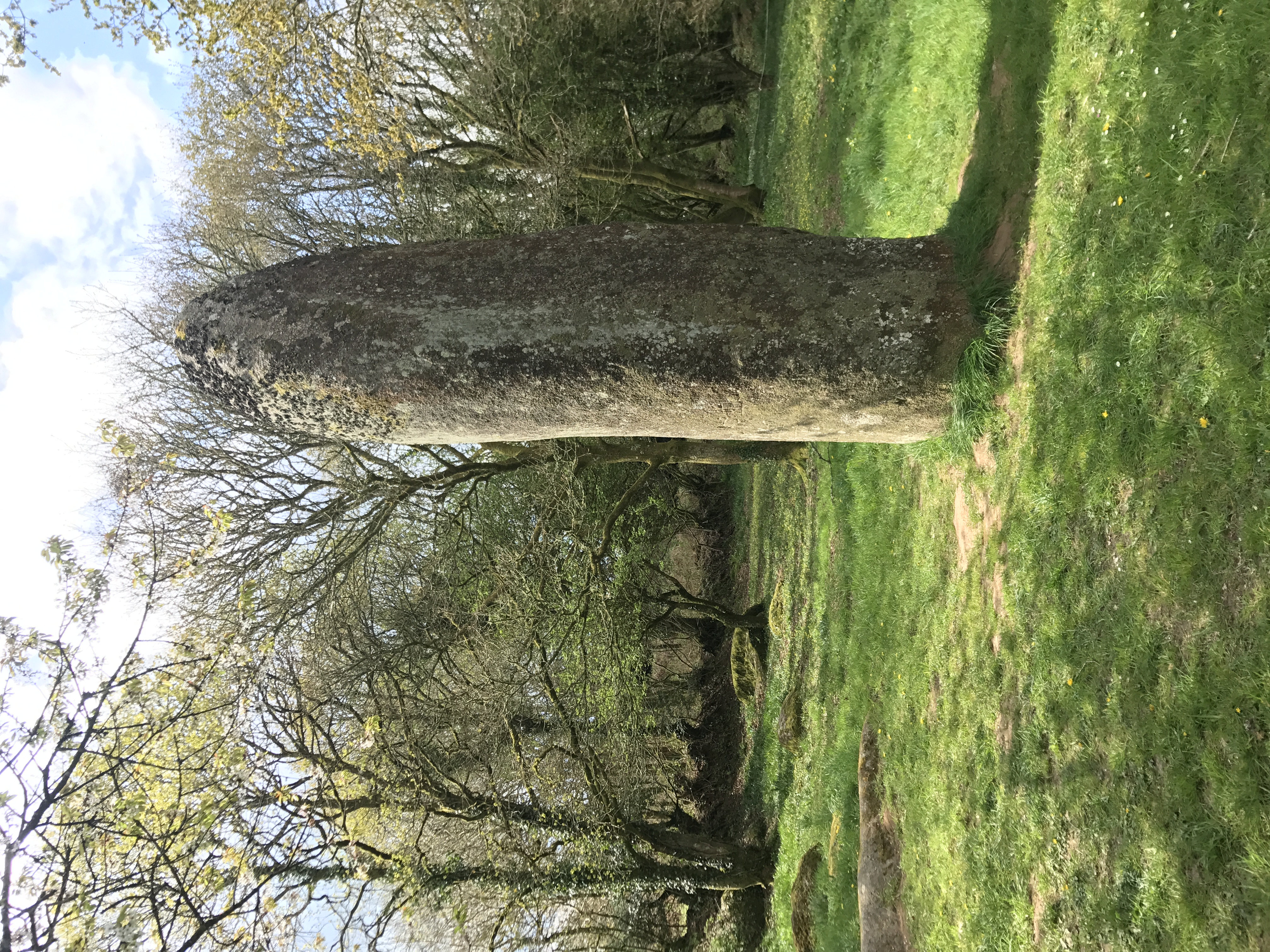
The northerly route was quite scenic — the area has an abundance of huge stones, usually just lying tumbled and immovable, but sometimes erected as menhirs.
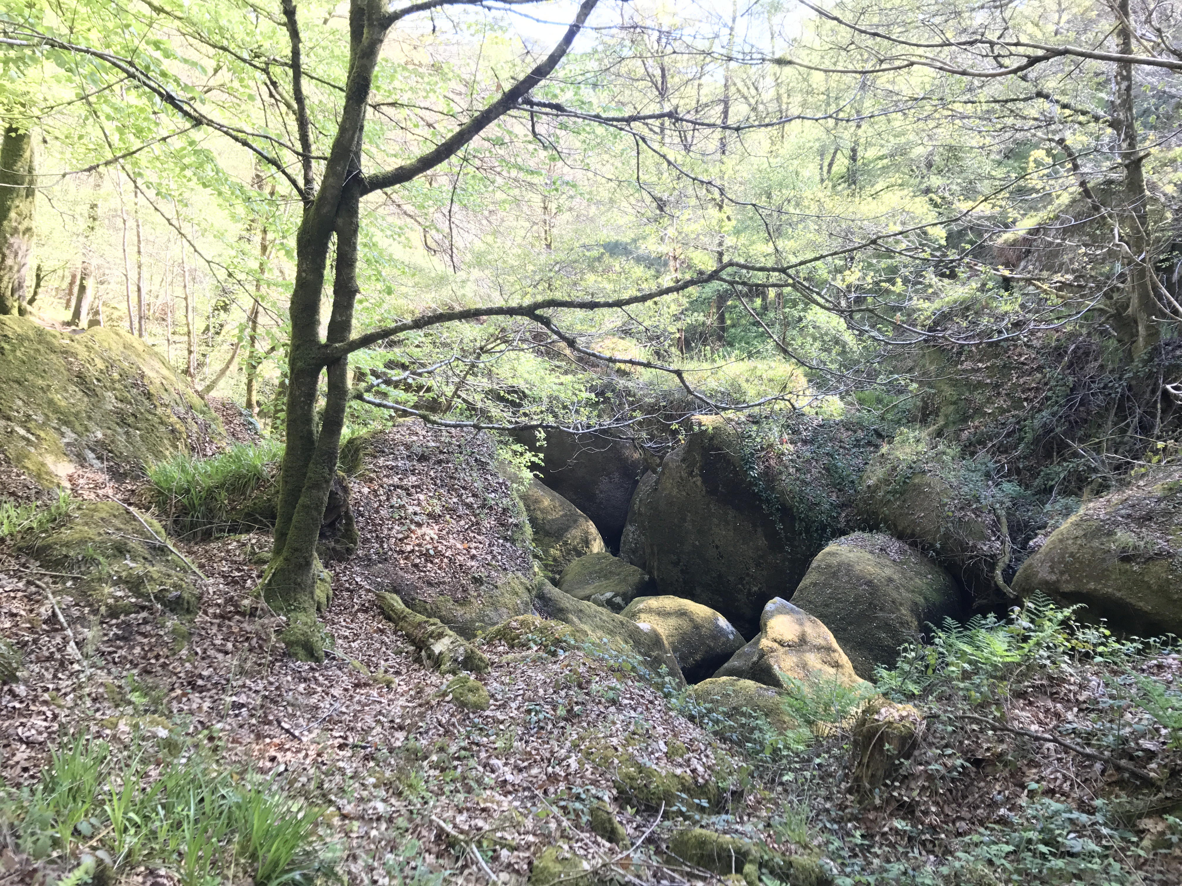
The walk into town went through a well-signed forest with trails for casual hikers, looking at sights like an old hill-fort and massive rocks in various formations. Approaching town, I stopped at the touristy (but still enjoyable) Crêperie de la Roche Tremblante (“Crêperie of the Quivering Rock”, named for a nearby stone that looks precariously-balanced) for a late lunch.
Huelgoat itself was cute. I stopped at a grocery store for supplies, and Ti Forn (a bakery) for the standard bread and pastries.
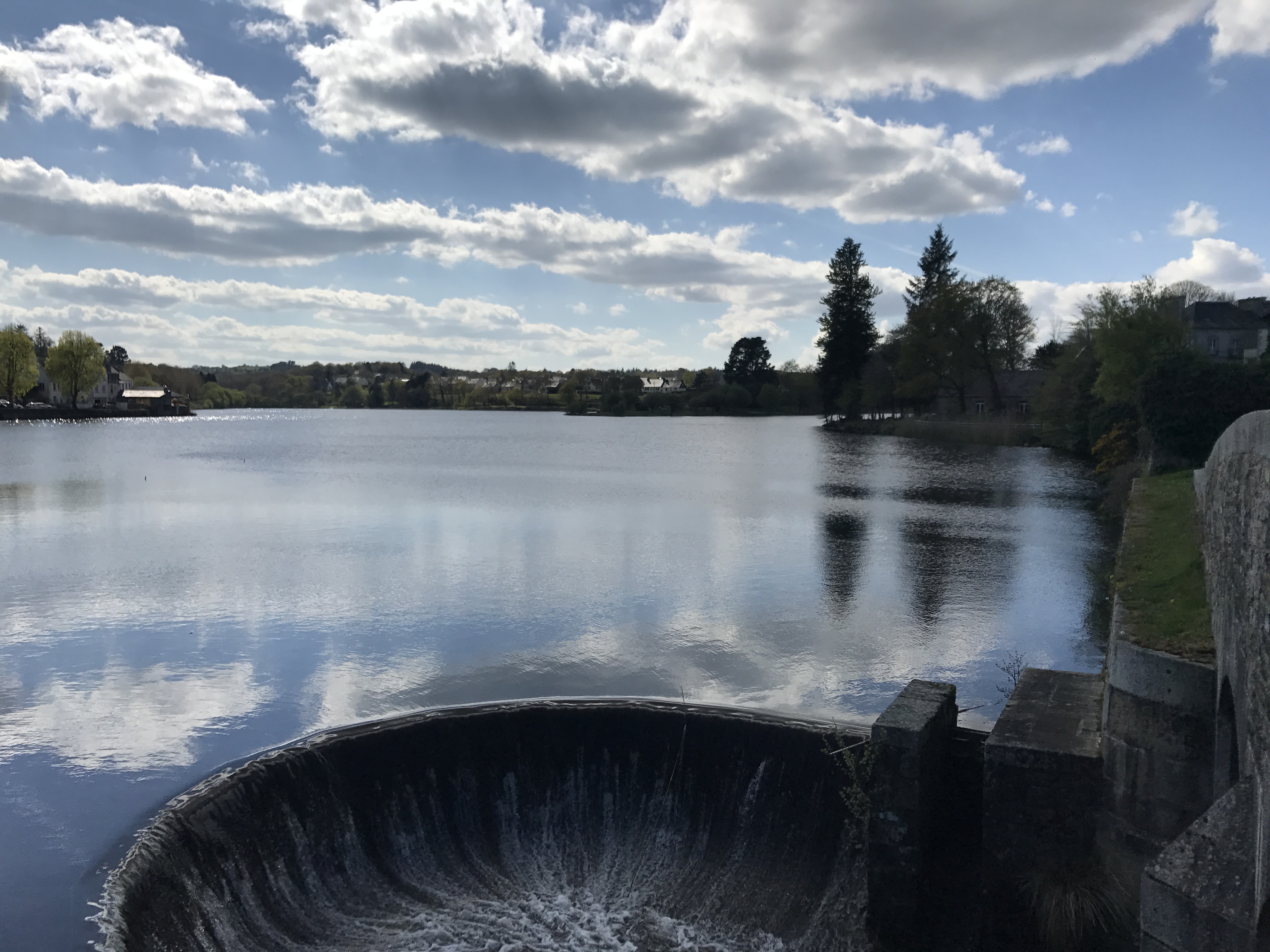
Having resupplied for the next several days, I headed east out of town to a campground called La Rivière d’Argent (“the Silver River”), my destination for the evening.

I pitched my tent near the campground’s office in the vain hope of getting a bit of wifi signal, and slept decently (though the night was cold).
