pile.org
2017 E5 walk, day 8: Le Faou to Skiriou
48°17′44.0″N
48°18′23.9″N
I broke camp and waited impatiently for the pharmacy to open, in the meantime stocking up on bread and pastries from Boulangerie-Pâtisserie Michel. The pharmacist was of course incredibly kind and helpful, and I got a good supply of ibuprofen. This immediately became part of my daily diet — not a large dose after the first few days, but almost every day for the rest of the walk.1 I felt like a new man within an hour, and made good time for the rest of the day.
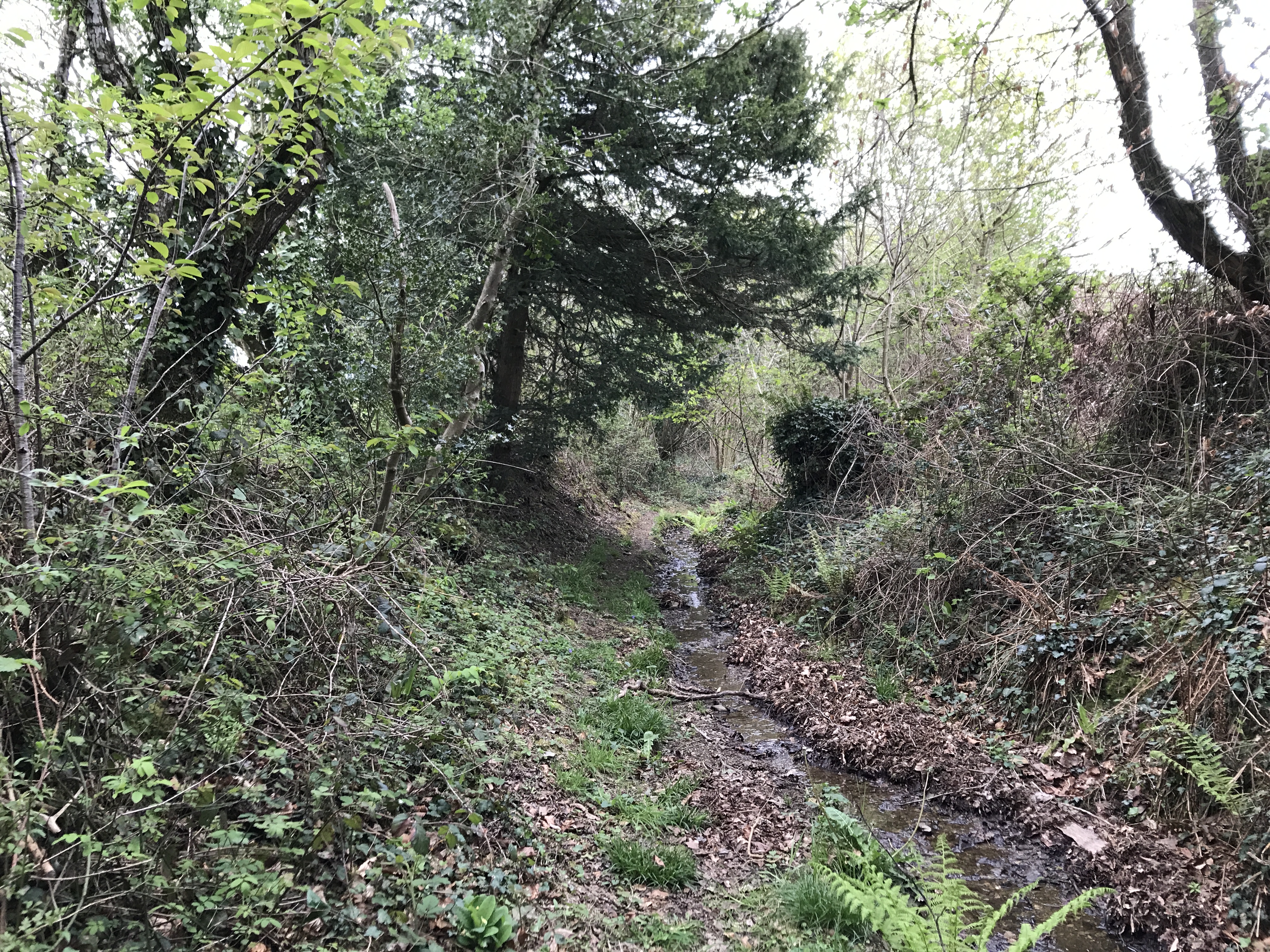
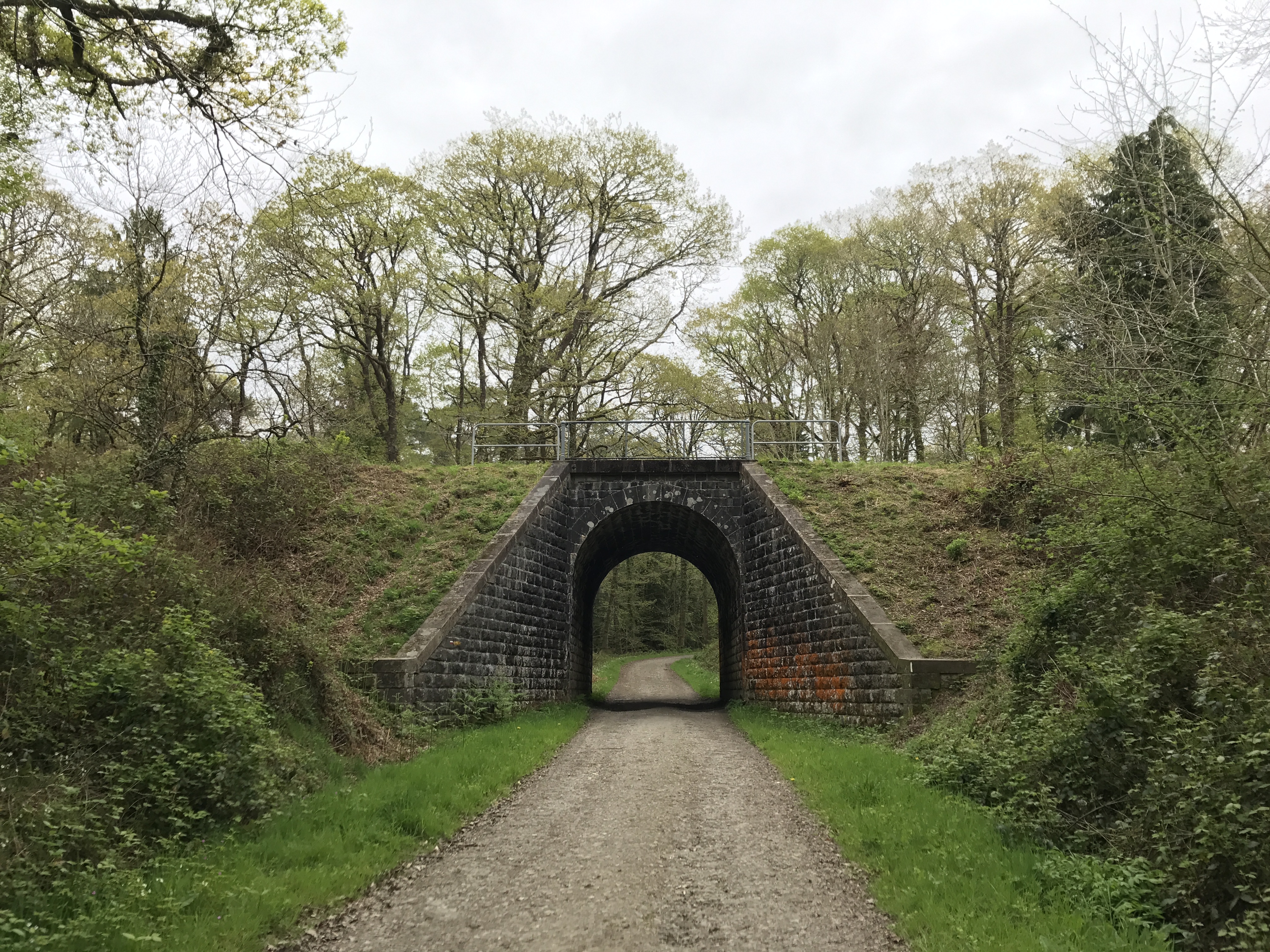
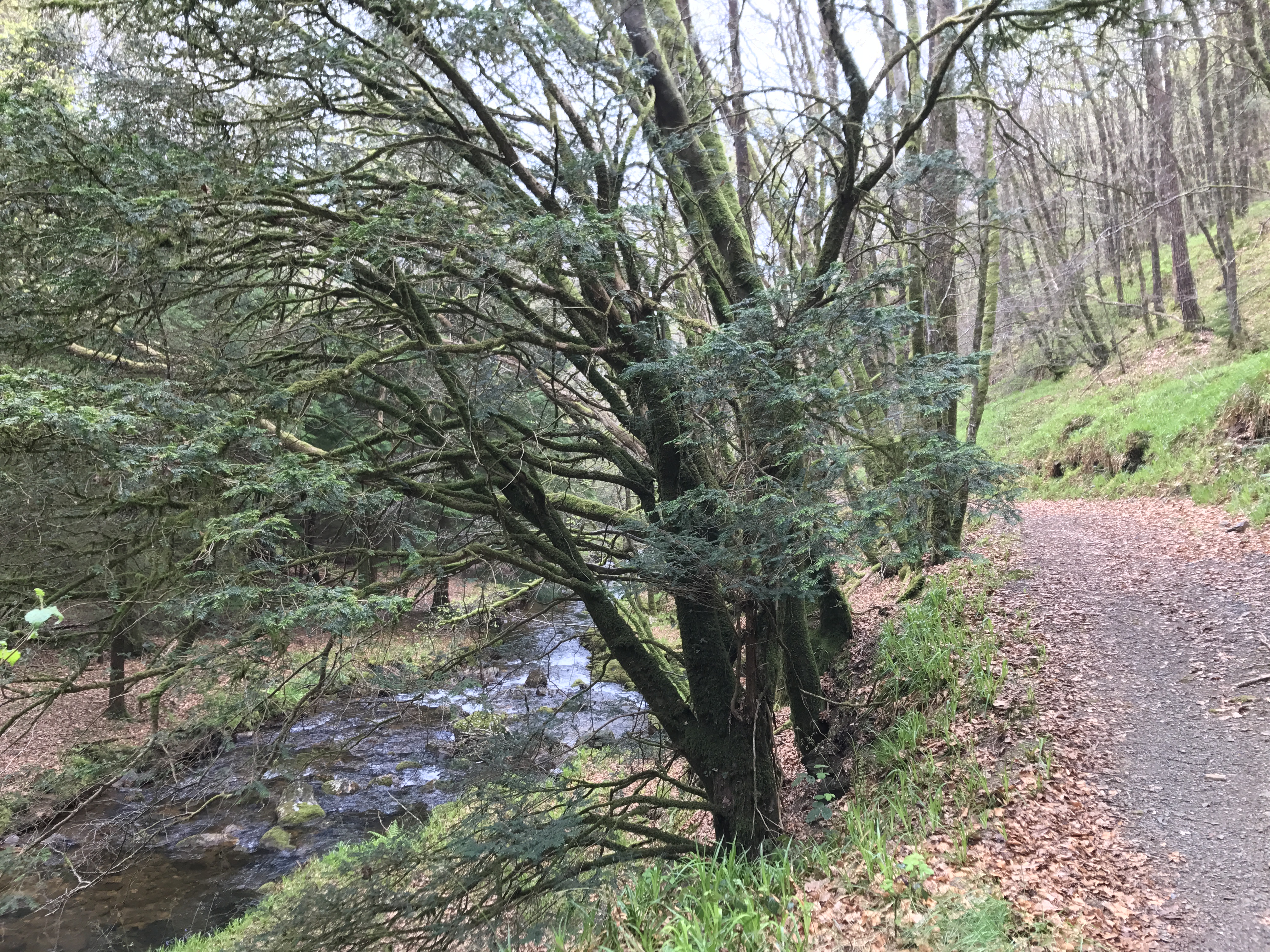
The landscape was different again: While the first days were along coastal bluffs, and the recent days (aside from the upper slopes of Ménez Hom) were farmland, this was mostly what in the United States we might call a national forest (specifically, Forêt Domaniale du Cranou, domaniale meaning “of the state”).
My long walk’s Instagram account notes that there were a few sprinkles this day, but I don’t remember them, and the sources I’ve been using for the weather don’t record a measurable amount. More notably, I continued to see evidence of the recent storm, in the form of freshly-fallen trees.
Around 5:30 PM or so, I finally left the trail at the little settlement of Skiriou and headed down along farming roads for almost an hour (about as far as I was willing to stray from the trail) to the night’s campsite, La Ferme du Tuchennou, near the town of Brasparts.

As with some past campsites, this was simply some farmland attached to a house. The owners weren’t home when I arrived, but I pitched my tent in a likely spot, and their son showed up a little later and confirmed I was in the right place. As I made my salami sandwich for dinner, a friendly German shepherd showed up to see if I might have anything to share, but he eventually drifted away, and I settled down to sleep for the night.


-
After my right ankle finally stopped hurting in the following weeks, my left ankle started acting up for a bit, though not as badly or for as long. ↩︎