pile.org
2017 E5 walk, day 12: Huelgoat to Kroas ar Breton
48°21′47.4″N
48°18′24.4″N
The previous night got down near freezing (35 °F according to the records I’ve used). How did I stay warm while camping?
Glad you asked. I slept in a one-person tent just high enough for me to sit up in the center, so I didn’t have a lot of space I needed to heat. Over that was a rain fly — so far it had only served to protect me from dew, but some nights it gathered a lot. Inside, I had an air mattress with a fitted sheet covering it, and a down quilt. I wore long wool underwear, a cap on cold nights, and gloves on really cold nights like the previous. That was barely enough to keep me warm enough, and I did wake a couple times feeling a little colder than I’d’ve liked. But for everything above the mid-30s, it was plenty warm.
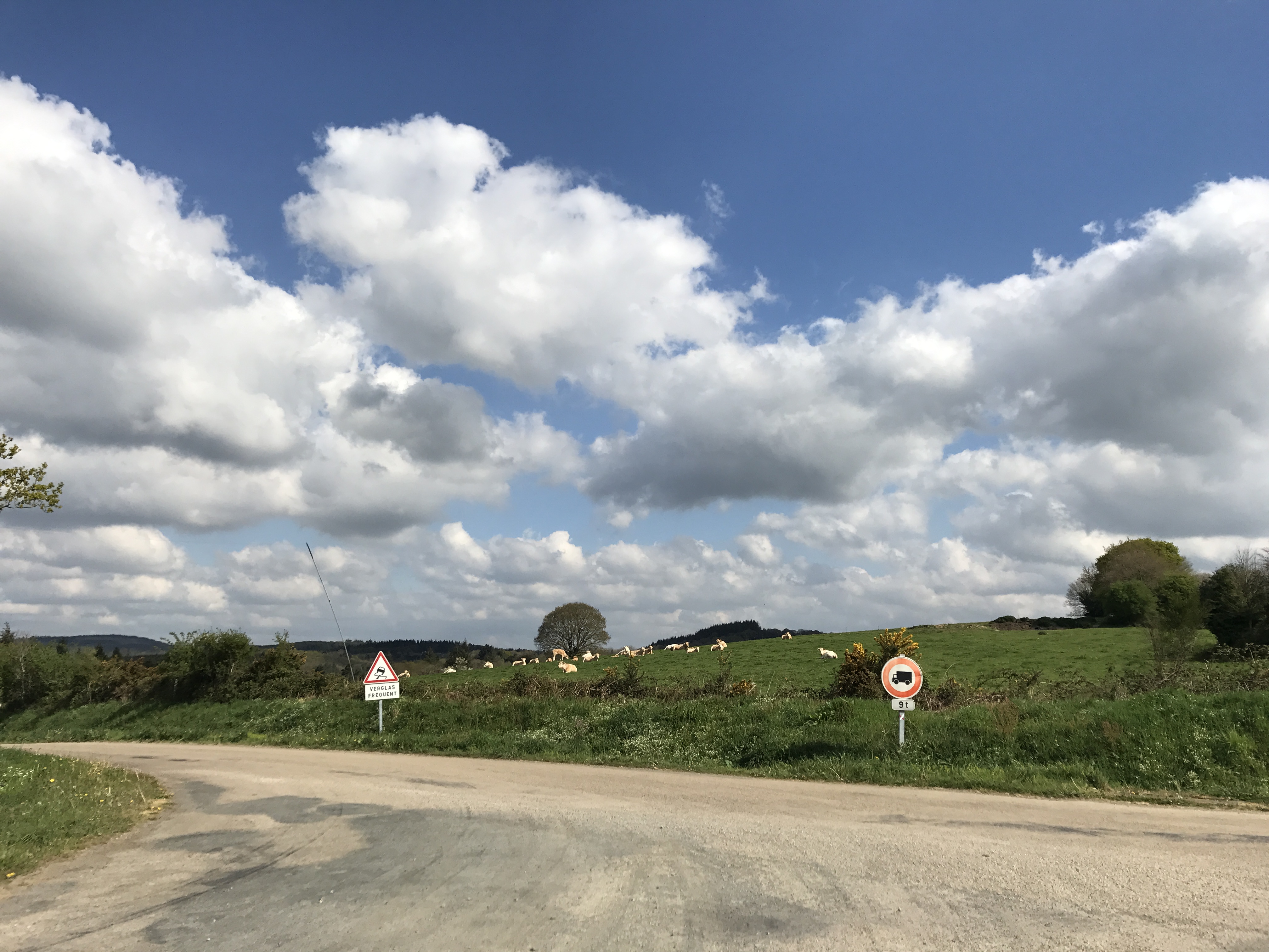
After breaking camp, I followed the trail up a valley towards a defunct mine (perhaps a silver mine that gave the Rivière d’Argent its name?). The trail then climbed the valley slope and broke out into farmland.
Along here, I think1, was the encounter where I was most worried about being injured. I passed a farm that had a couple of loose dogs — not an especially rare occurrence. These dogs, though, did not want me walking past their farm. They followed me, barking, and then took turns dashing at me from behind, veering away at the last moment, then circling back to do it again. It was incredibly nervewracking. They finally gave up after I’d walked 100 yards or so away from the farm.
Having survived that, I was almost glad when I started walking on pavement. This was another of the different types of trail, where the official route is along a paved road. In hindsight, I think this was part of what punished my ankle so badly on the route towards Ménez Hom — while I would have expected pavement to be only a little more difficult than a packed dirt road, it was significantly worse. It’s also generally not as shaded as the paths between fields. On the other hand, the view is usually much better, and the occasional car (or tractor!) driving by is a reminder that people exist in the rest of the world.
Soon, though, the trail descended again. This time, I ended up back on the banks of the Aulne (which I’d crossed down near its mouth, back on day 6).
I stopped for lunch at a “Resto-bar”, La Cabane bleue (“the Blue Shack”), just up from the riverbank. The owner was a Bavarian (not, he emphasized, a German) who’d been running the place for years. It had just barely opened for the season, so the full menu wasn’t available, but he was able to serve me a really good steak à cheval (“steak on a horse”, roughly — a fried egg on top of beef), with fries and a salad that was at least 50% onion by mass. I liked him a lot, and since he wasn’t busy, we talked for a while. He was a fan of old American muscle cars, and he’d had a run of bad luck with the river. Specifically, the place had been flooded four times in the past seven years! Each time, he took the insurance payments, invested more of his own money, and reopened.
After lunch, the trail mostly stayed along the river banks, occasionally wandering up and down the wooded slopes, until I lost the way.
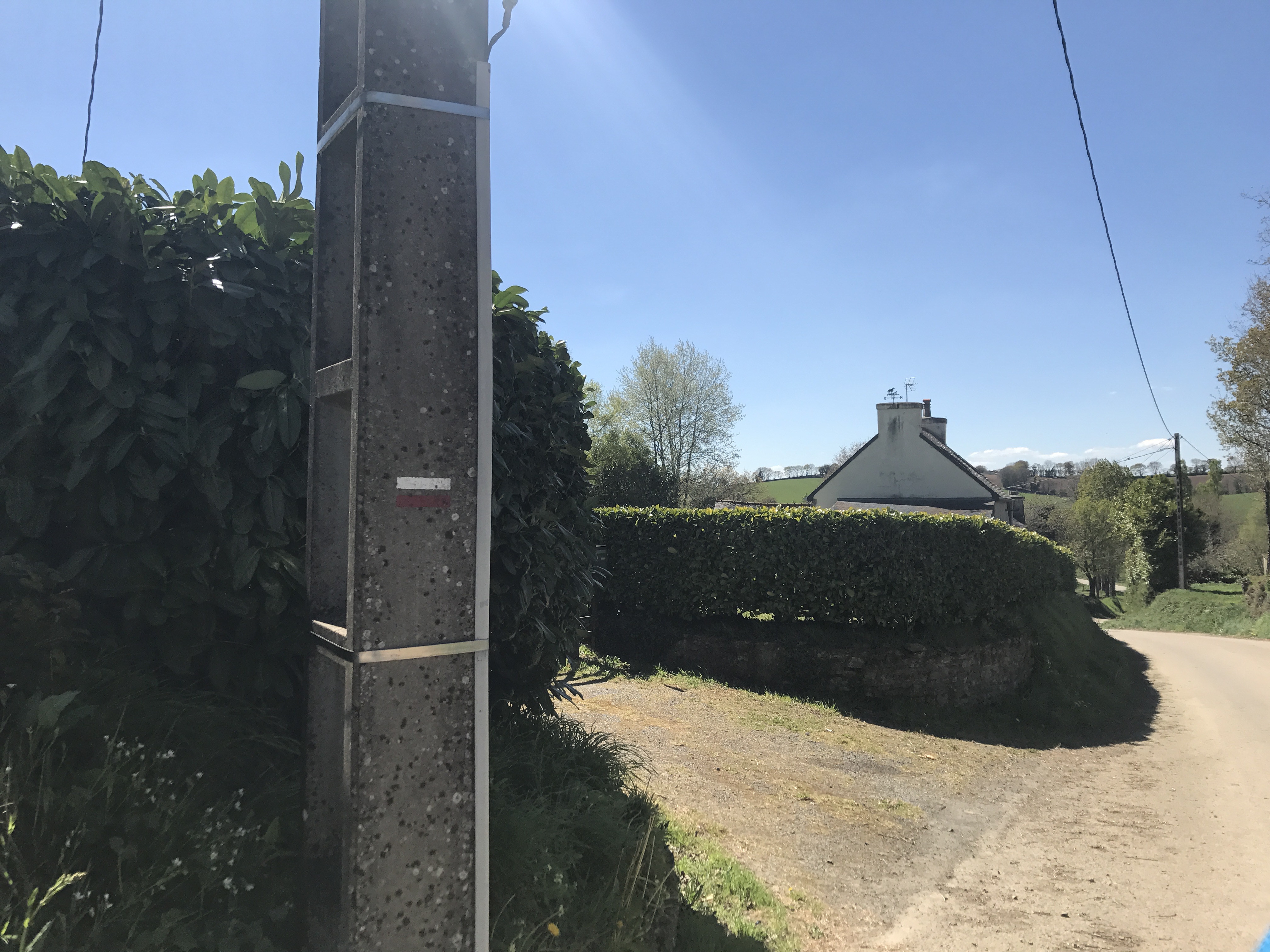
Up until this point, the trail had always been very well marked: French GR trails are marked with white bar above a red bar (“the trail is this way” or “continue straight”), two bars above a white right angle (“the trail turns this way”), or a white and red X (“wrong way”).2 But along the banks of the Aulne south of Tréméleg, the trail just kind of disappeared. I backtracked to make sure I hadn’t missed a turn, but if I did, I did the same thing the second time.
After spending a half hour traipsing through the grassy riverside flats, trying to find the right way to go (and finding the route on the map to be blocked by an impenetrable thicket of brambles), I made a best guess based on the other trails on the map. And soon enough, I found that I was back on the trail.
Looking at the map today, I believe I ended up going the correct way, no thanks to the trail markings.
Reaching Kroas ar Breton (perhaps “Breton cross”?), I headed uphill to the town of Plouyé3; not able to find any open campsites in range, I got a room at Chambres d’hôtes Bro ar Raden (bro ar raden might possibly mean something like “land of ferns” in Breton). The owner wasn’t there when I arrived, so I killed time by exploring the town and sitting in the sun outside the town church.
I was running low on cash, and the town didn’t have an ATM4, so I made a careful purchase for the next day at the combination bar/store, Tavarn Ty Anna. But that concern aside, I had a peaceful night.

-
I’m not certain it was here, but for the life of me I haven’t been able to figure out where else it might have been, so the anecdote goes here. ↩︎
-
Similar markings, but yellow instead of white, are used for various smaller trails. ↩︎
-
With my bad pronunciation, and similar difficulty hearing subtleties in other people’s pronunciation, my French co-worker Mickaël and I had a difficult time when we were trying to talk about Plouyé and a different Breton town named Plouay. ↩︎
-
After this, I made sure to always have several days’ cash on hand. ↩︎