pile.org
2017 E5 walk, day 14: Carhaix-Plouguer to Glomel
48°14′43.2″N
48°13′17.4″N
Over breakfast, the owners suggested grocery stores I could visit up in Carhaix-Plouguer, and I thanked them again and departed.
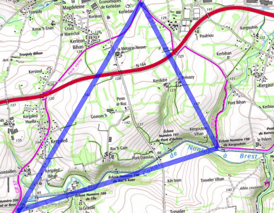
Here, I did a kind of silly thing. Imagine, if you will, a triangle. The base of the triangle is the canal. The bottom left vertex is where the GR 37 left the canal to go up to Carhaix-Plouguer (the top vertex), and the bottom right vertex is where I stayed. The previous day, if you recall, I’d veered from the trail to go straight along the canal to my destination. This meant there was a stretch of the trail (up to Carhaix-Plouguer and back down) that I hadn’t walked. So, I walked back along the canal to where I’d diverged from the trail, then followed the trail up into town. I did my shopping (groceries, plus a trip to the pharmacy for a critically-important tube of hand lotion), then continued down the trail … to basically where I had started four hours earlier.
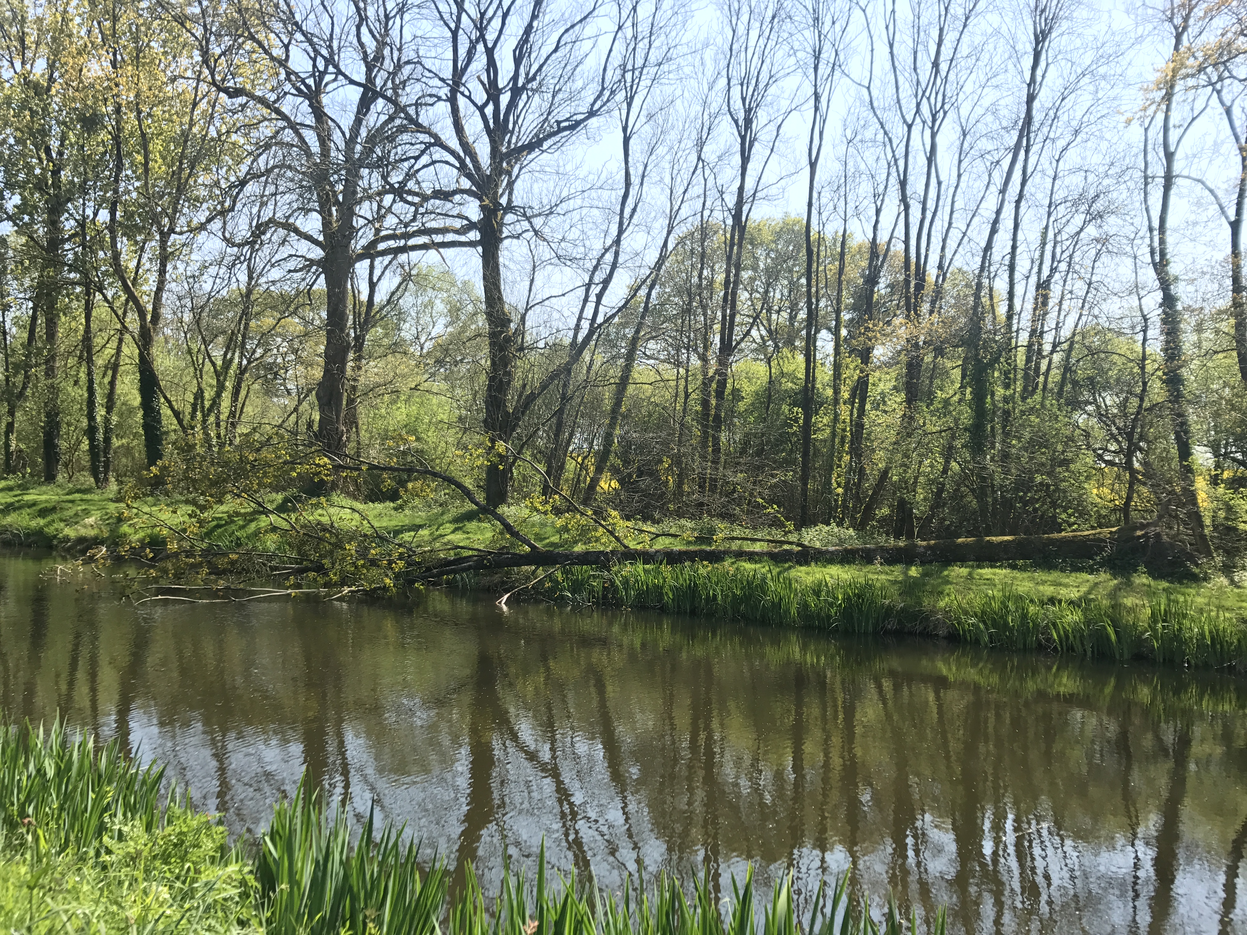
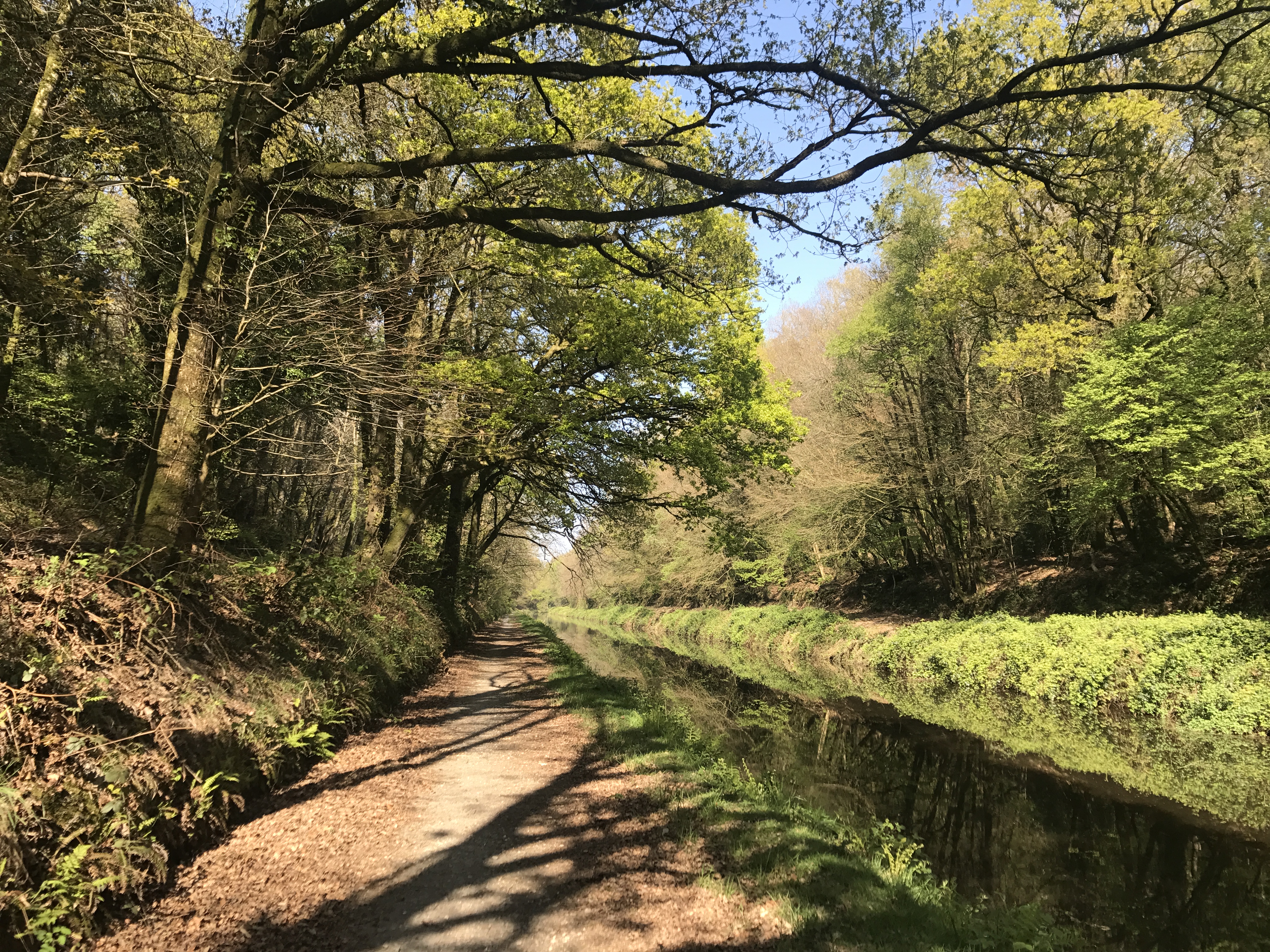
Most of this day was along the Nantes–Brest Canal. The GR 37 went on the canal-side paths, which unfortunately were paved. But I love being near water, and the day was quite peaceful.
Other than the locks, and the obviously-artificial shape of the canal itself, there were very few signs of habitation; any settlements were generally some distance away.
Towards the end of the day, I entered la Grande Tranchée (“the big trench”), where the canal had been dug through a high point.
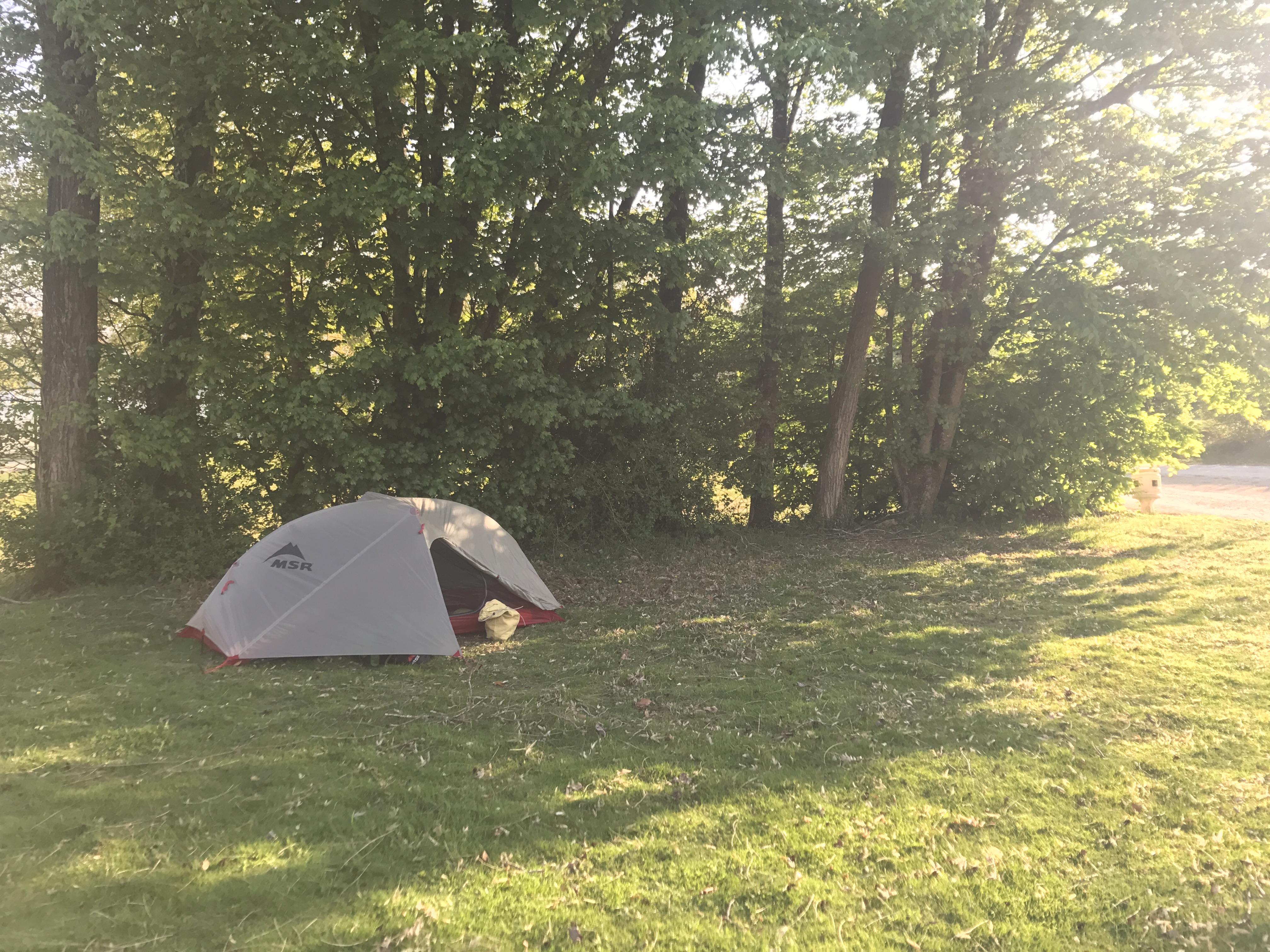
Then the trail left the canal, and I climbed up out of the gulch and walked south to the town of Glomel. Just beyond Glomel was Étang du Corong (“Lake Corong”, but I don’t know what Corong refers to), an artificial lake, the trail following its shore. (There were dozens of fishermen with elaborate setups; apparently there was a fishing tournament that weekend.) Just a few minutes’ walk brought me to Glomel’s municipal campground, which was simple, but right on the shore of the lake.