pile.org

2017 E5 walk, day 15: Glomel to Gouarec

Section 4, Day 15
Glomel
3°23′19.0″W
48°13′17.4″N
Gouarec
3°10′34.8″W
48°13′36.8″N
low 41 °F
high 59 °F
56,661 steps
23.3 miles

I don’t have specific memories of this night, but in general, I usually slept lightly when I was camping. The mattress and pillow were comfortable for their weight, but obviously not as comfortable as my bed back home, or even (most) beds along the walk. Fortunately, I rarely had trouble getting to sleep, or back to sleep, and rarely needed to spring awake and get walking first thing in the morning.

For the entire length of the walk, I rarely broke camp in less than one hour. This frustrated me for a while, until I just got accustomed to it. And it wasn’t unreasonable, considering I was getting dressed, packing the things from inside my tent in a particular manner, disassembling and packing the tent, brushing teeth, and refilling my water sack.

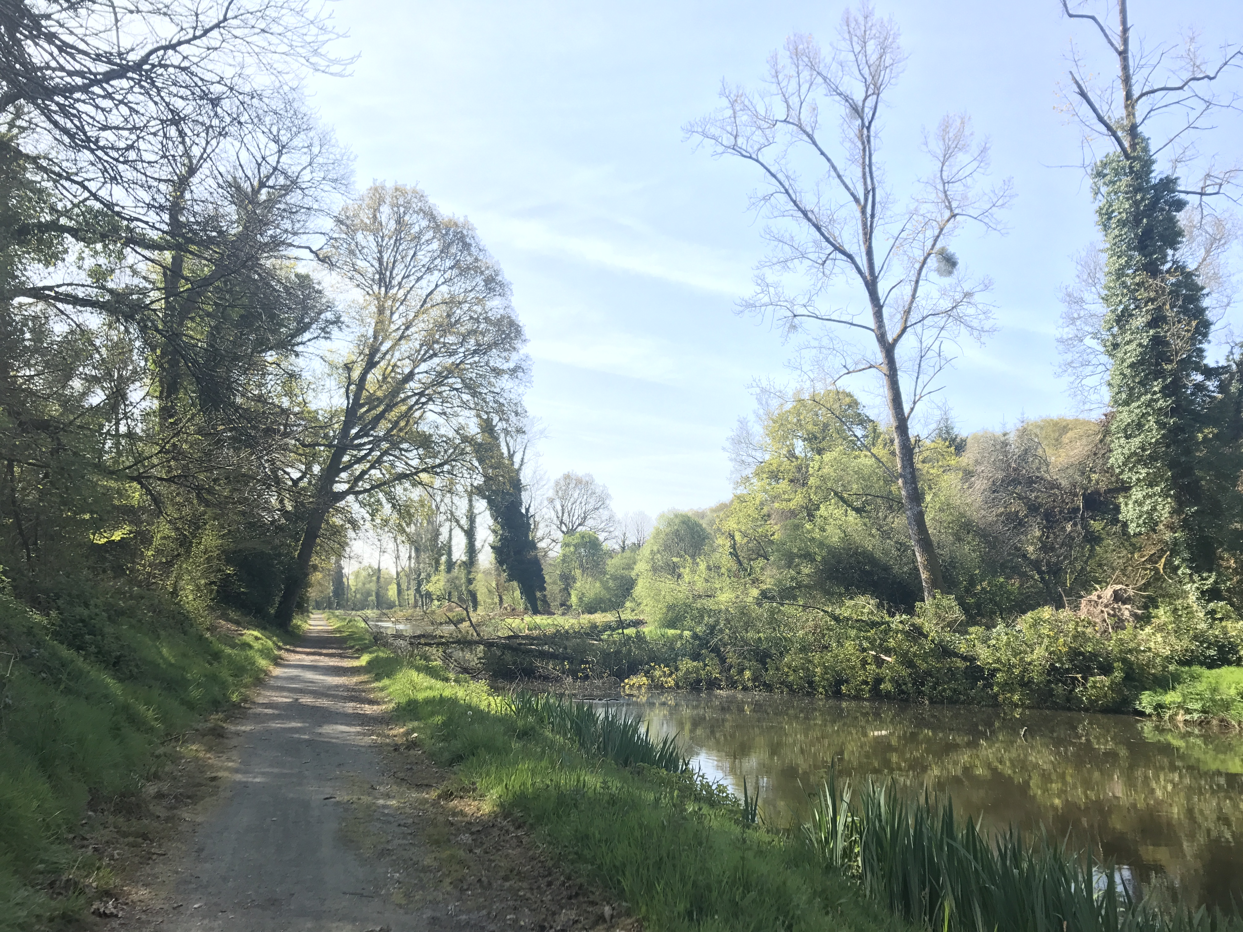
The GR 37 had skipped a stretch of the canal on its way to Glomel, but I was back to the canal by 10:30 AM.

A sturdy bridge crosses perhaps ten feet over a narrow branch of the canal, with concrete posts at the ends, iron bars on the sides, and wooden planks.  On the far side, to the northeast, is a lawn and another canal branch with its own bridge, and beyond is a lockkeeper’s house, two stories, stone, with matching additions on both ends; the doors and shutters are strikingly blue.  A tree shades the near bridge, and more trees are visible all around.
Every écluse (lock) on the canal is numbered. This is the house for écluse 159, Quistinic (apparently near the tiny village of Quistinic Coajou), where I returned to the canal.

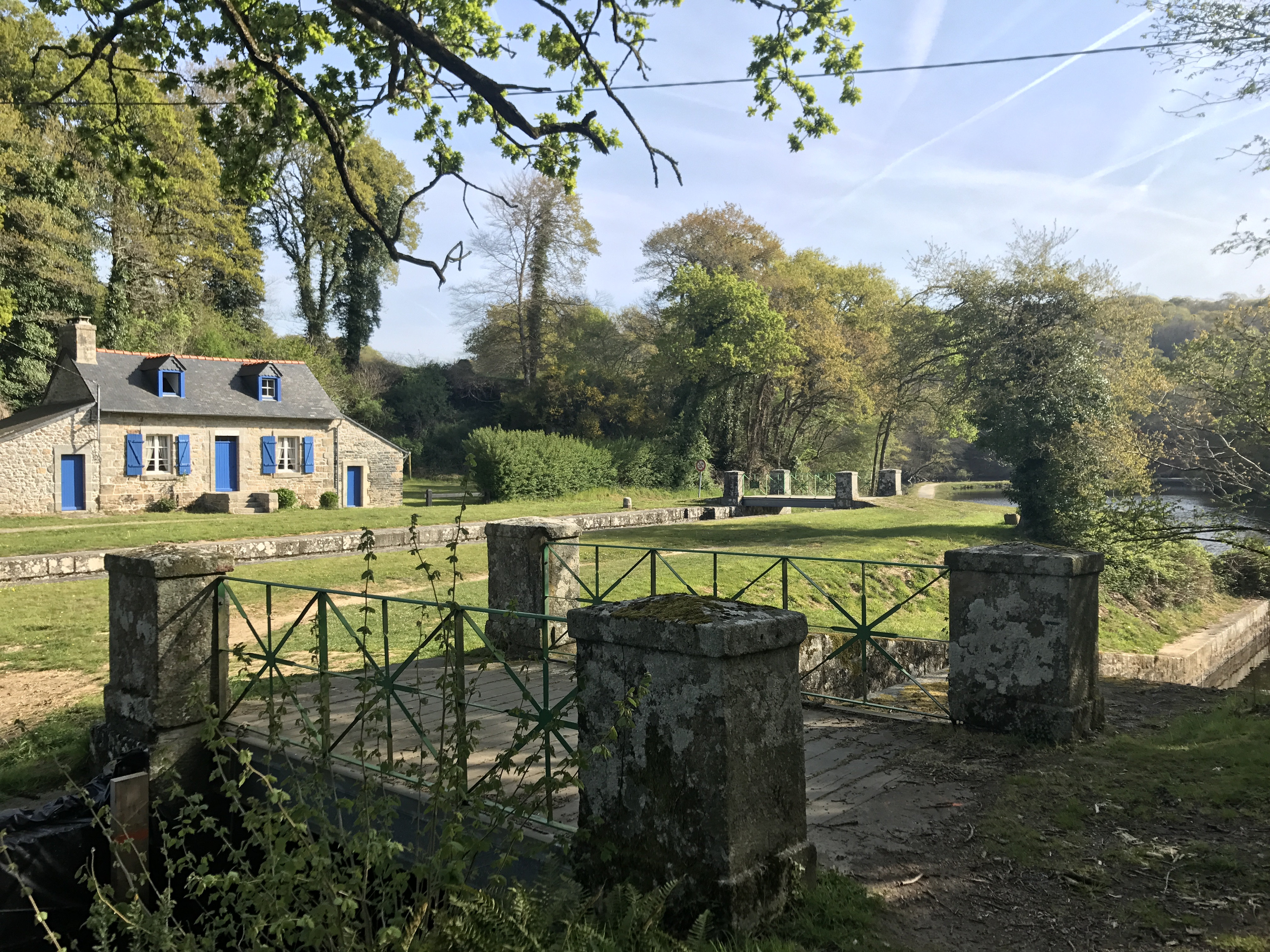
Some of the lockkeepers’ houses have been turned into vacation rentals, such as the one at écluse 155, Pont Yannic.1 This sounds like a fabulous idea to me.

Heading south along a paved canal trail, with the canal to the right, there is at least one tree (possibly more) fallen across the canal from the other side, touching the near side, and thus completely blocking the canal to water traffic.  Trees shade the trail, grass and rushes grow between the trail and canal, and trees grow abundantly on the far side.
More evidence of Tempête Zeus: a tree (or trees?) blown down, completely blocking the canal.

By noon, the trail had left the canal again. I veered off the trail to the town of Rostrenen for lunch.

A stream flows to the southwest, past trees and brush and moss-covered boulders.  We must be looking from a bridge crossing above it.
After Rostrenen, approaching the nearby town of Plouguernével, the trail went alongside the stream named “le petit Doré” for a short distance.

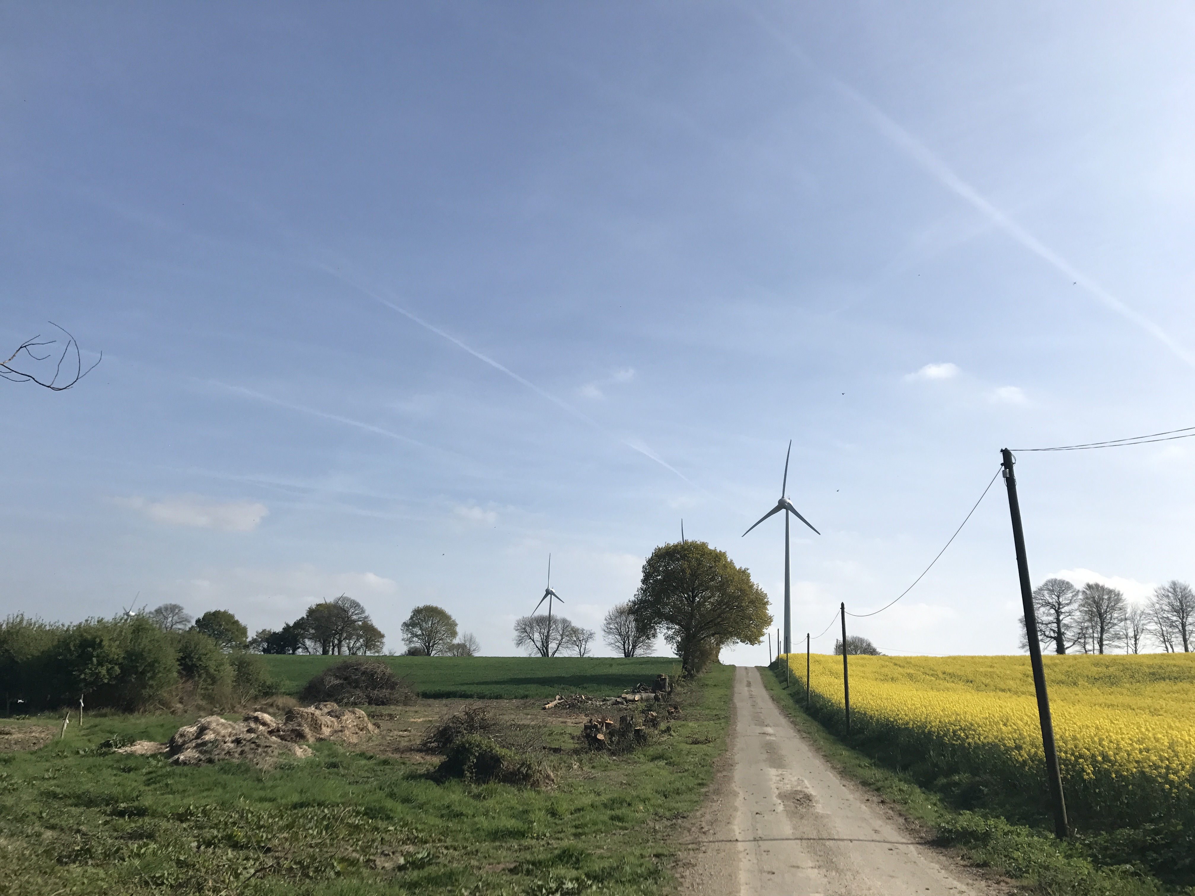
The GR 37 then joined up with a cycling trail. Called voies vertes (greenways), these cycling trails are scattered across France. This one (and another I walked on later) appeared to be on the route of a former rail line; the trail was wide, flat, and paved with packed gravel. It was efficient, probably a dream for cyclists, and … honestly, pretty boring to walk on.

Looking south along a one-lane road, we see three tall wind turbines, probably not more than five or ten minutes’ walk away.  To the right of the road is a field with yellow flowers, probably rapeseed again; on the left is a small field of rocks, and beyond that a larger field of a uniform green.  Utility poles line the road on the right, and trees on the left.
Looking down a road that crossed the trail, I saw these majestic éoliennes, wind turbines. As a peninsula reaching into the Atlantic, Brittany can apparently get pretty windy.

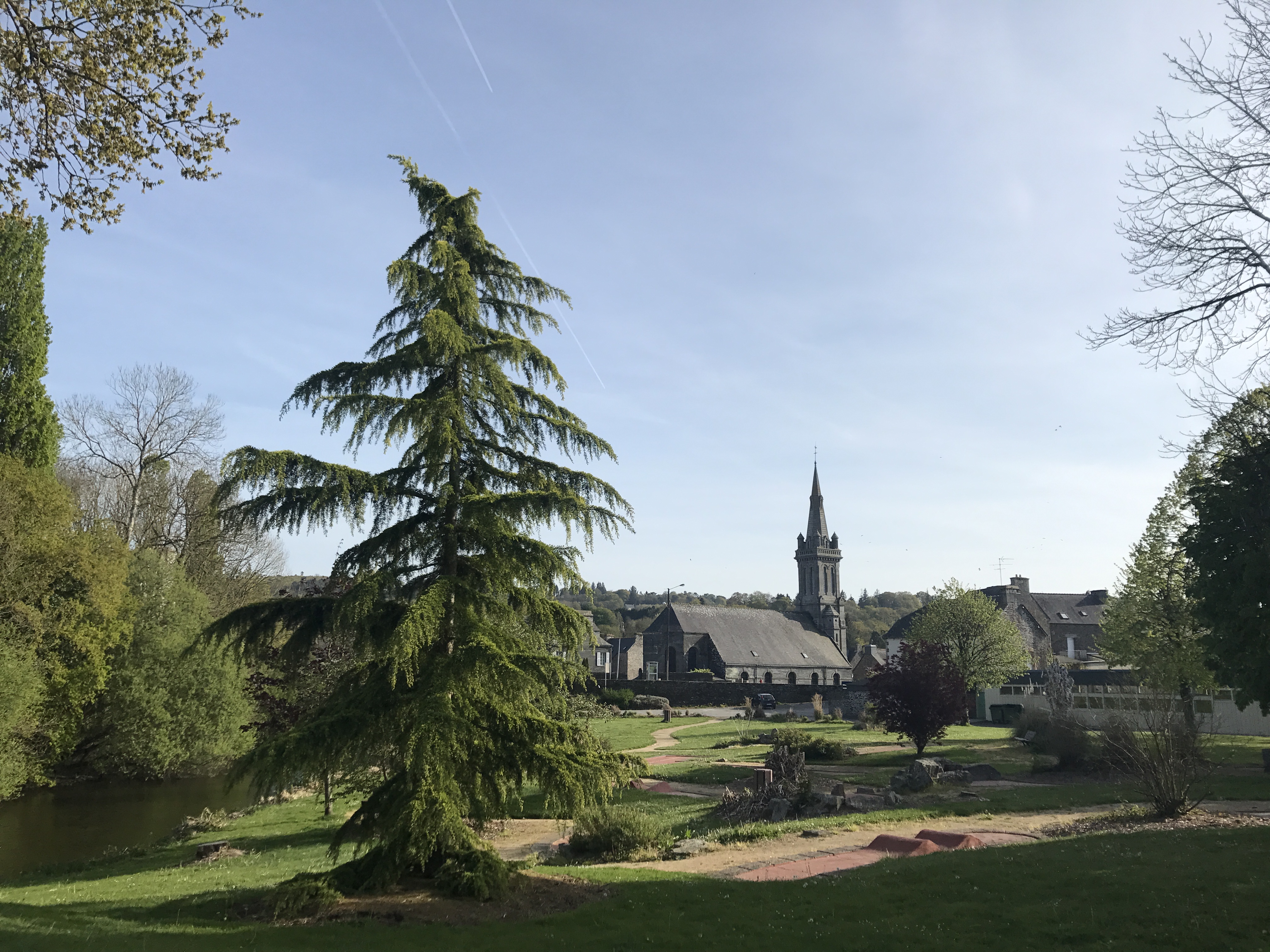
After some time, the trail crossed under a highway and entered the town of Gouarec, my destination for the evening, back once again on the canal.

A lawn, with an evergreen and several small bushes and paths, rolls down south to a large church.  At the far left side is a small river.
Gouarec’s church of Notre-Dame.
Looking down at a river from what must be a bridge, we see a willow drooping down to the water’s surface to our left.  The water itself is nearly filled with mats of water vegetation, trailing along with the current and making a striking pattern.
On the short walk from the trail to the campsite, I crossed the Blavet, which had this amazing growth.

The campsite, Camping de Gouarec, was on the canal, separated from town by a narrow channel such that it was its own little island. It was owned by a British man who drove around the field in an old Citroën 2CV to collect payment and meet the guests. The other nearby camper was a man from Jersey who’d been cycling the voie verte, and had several days left before he had to be back at the ferry to go back home.

Map of the day’s route.

  1. It appears to be this AirBnB listing, but I’m not 100% confident (there can be some sketchy listings on that site, though fortunately I’ve encountered at most one). ↩︎