pile.org
2017 E5 walk, day 19: Saint-Caradec to Gueltas
48°10′47.1″N
48°5′6.6″N
After a lovely breakfast at the farm, I was on the road by 9:15 AM, early for me.
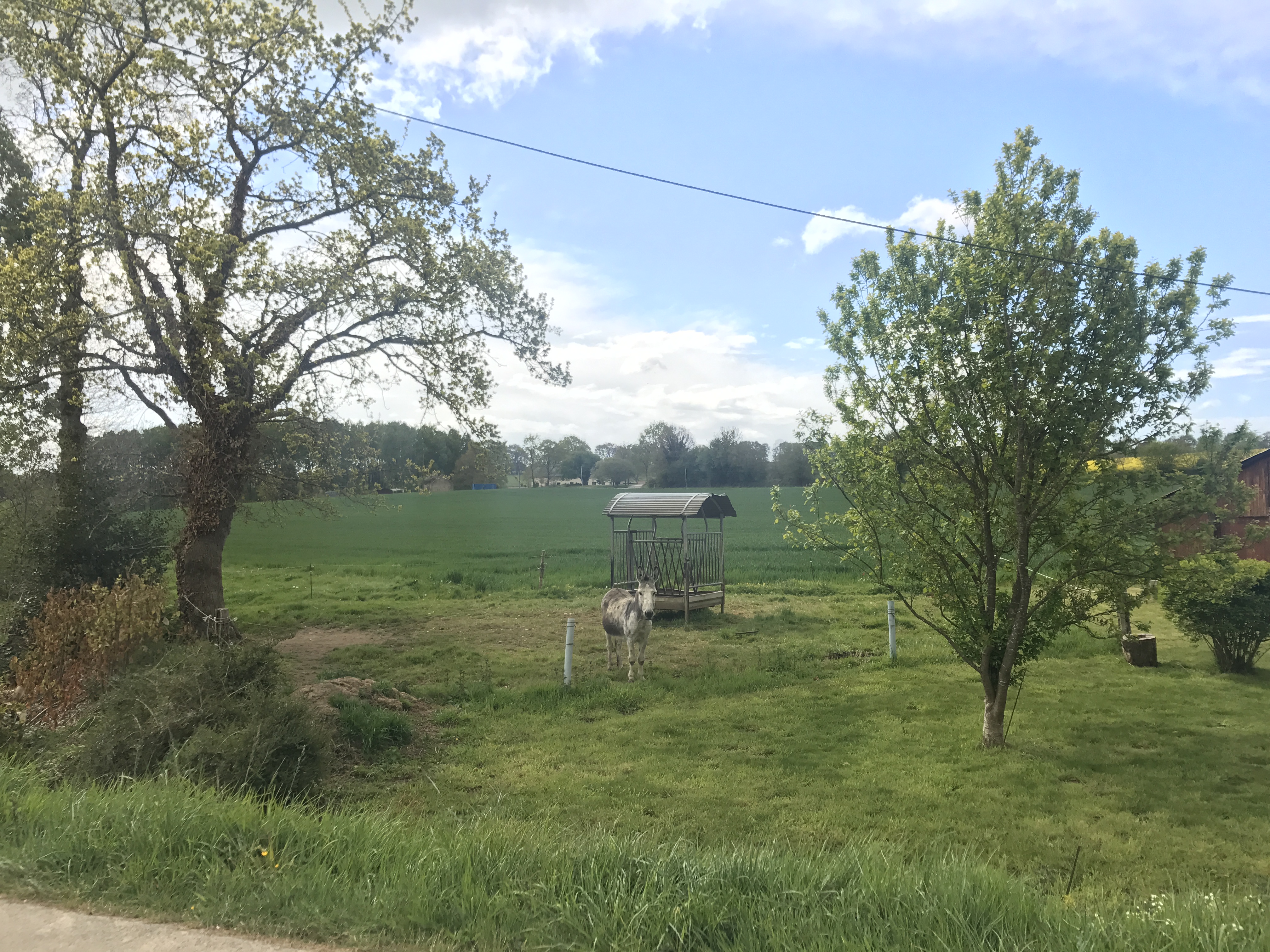
The day was peaceful. The basic route followed the rigole d’Hilvern, an artificial watercourse that fed the Nantes–Brest Canal. It wound its way from somewhere north of Saint-Caradec (which I’d skirted at the end of the previous day), down south across the farmland to the canal. It was little more than a big ditch, usually dry, sometimes with a small pool in it, lined by trees; the trail would occasionally cross from one side to the other, presumably to avoid a private field or other obstacle. At one point, the trail circled a pond, where a handful of people were fishing.
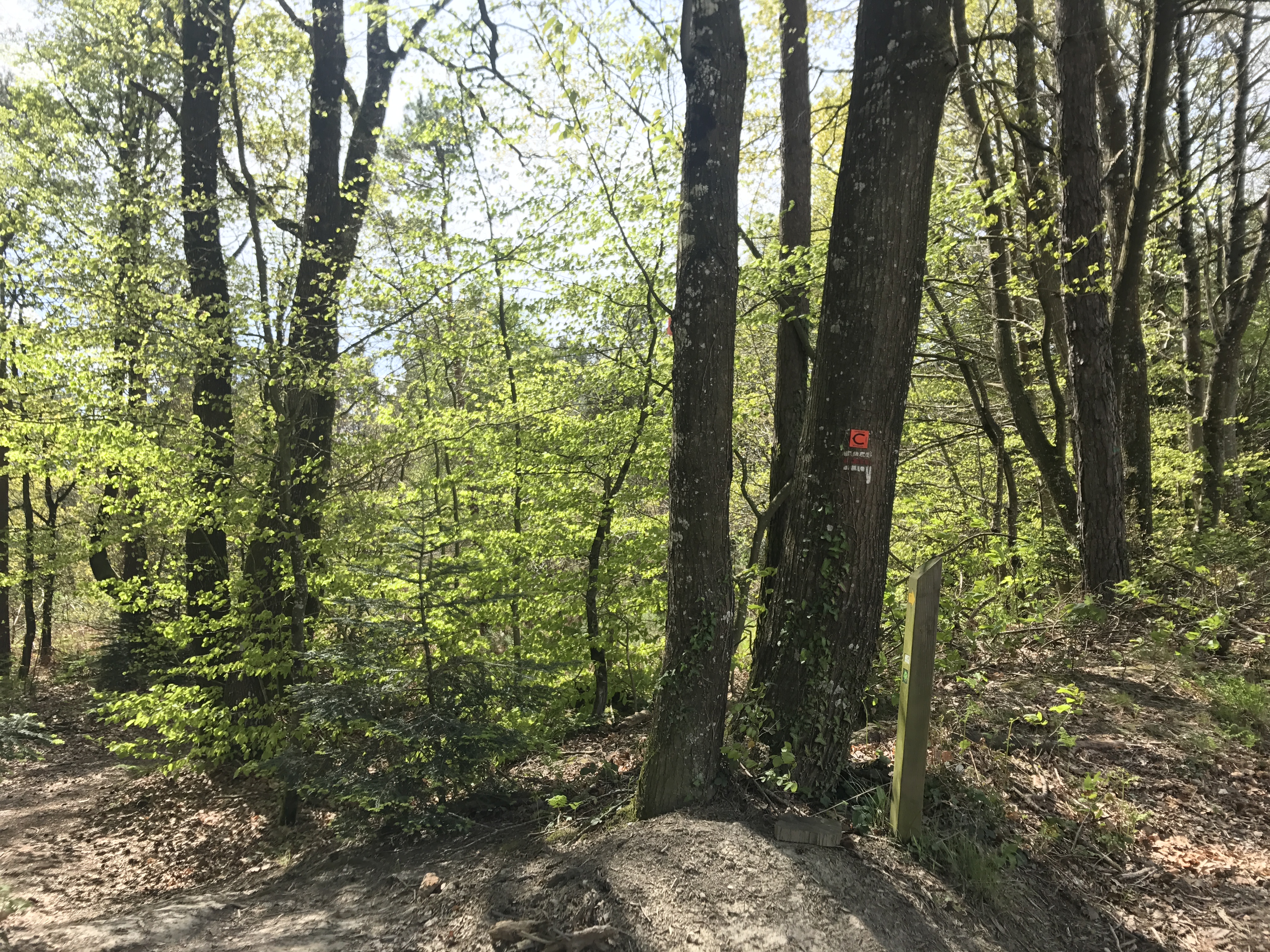
Around noon, the E5 rejoined the GR 371, and I left the GR 341’s sometimes-ambiguous trail markings behind. By 1 PM, I reached the town of Saint-Gonnery just as it started to drizzle.2 I ducked into what appeared to be a tiny, empty restaurant, l’Hilvern, where I was directed to the large room in back, full of customers. (I got several odd looks as I came in with my large backpack.) The menu for the day consisted of bœuf bourguignon, while a buffet table contained a generic assortment of sides and desserts.

After lunch, the weather had cleared, and I didn’t have much further to walk. The GR 37 followed one final loop of the Hilvern, and then turned left and downhill back to the canal.
I stayed in an AirBnB room in the home of Marie-Thérese and Guy near the town of Gueltas, and it was a lovely night. They were thoughtful, generous hosts: They served dinner, in part from their huge garden across the street; they patiently helped me with my awful French and taught me about the area; and they generally made me feel like a guest instead of a customer.
