pile.org

2017 E5 walk, day 22: Josselin to le Vieux Bourg

Section 6, Day 22
Josselin
2°32′41.7″W
47°57′10.0″N
Le Vieux Bourg
2°25′15.2″W
47°56′51.9″N
low 37 °F
high 60 °F
44,458 steps
16.9 miles

I headed in to Josselin to mail postcards back home. There was a busy street market, so I bought some fresh produce, and then headed out of town, stopping along the way at Le Fournil de l’Oust (“Bakery of the East”) for the requisite pastries and bread.

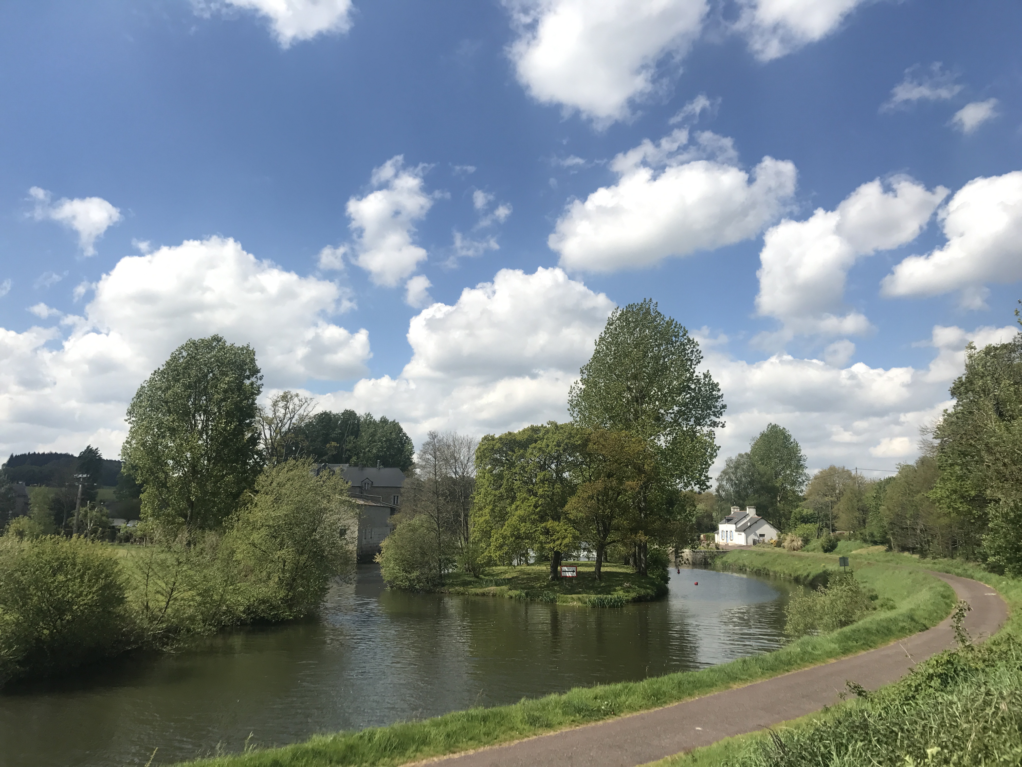
The trail headed east, up and down through some hills, keeping generally within sight of the canal. This was my last day along the canal, which by this point had become an odd sort of companion.

A single-lane road is lined with grassy shoulders with trees.  On the right is a sign, a white triangle with a red border, with a picture of a car falling off a cliff into water.  A block or so beyond, to the south, a flimsy-looking gate stands between the road and the canal.
Perhaps my favorite road sign ever, on a road leading to the towpath and (necessarily) the canal.

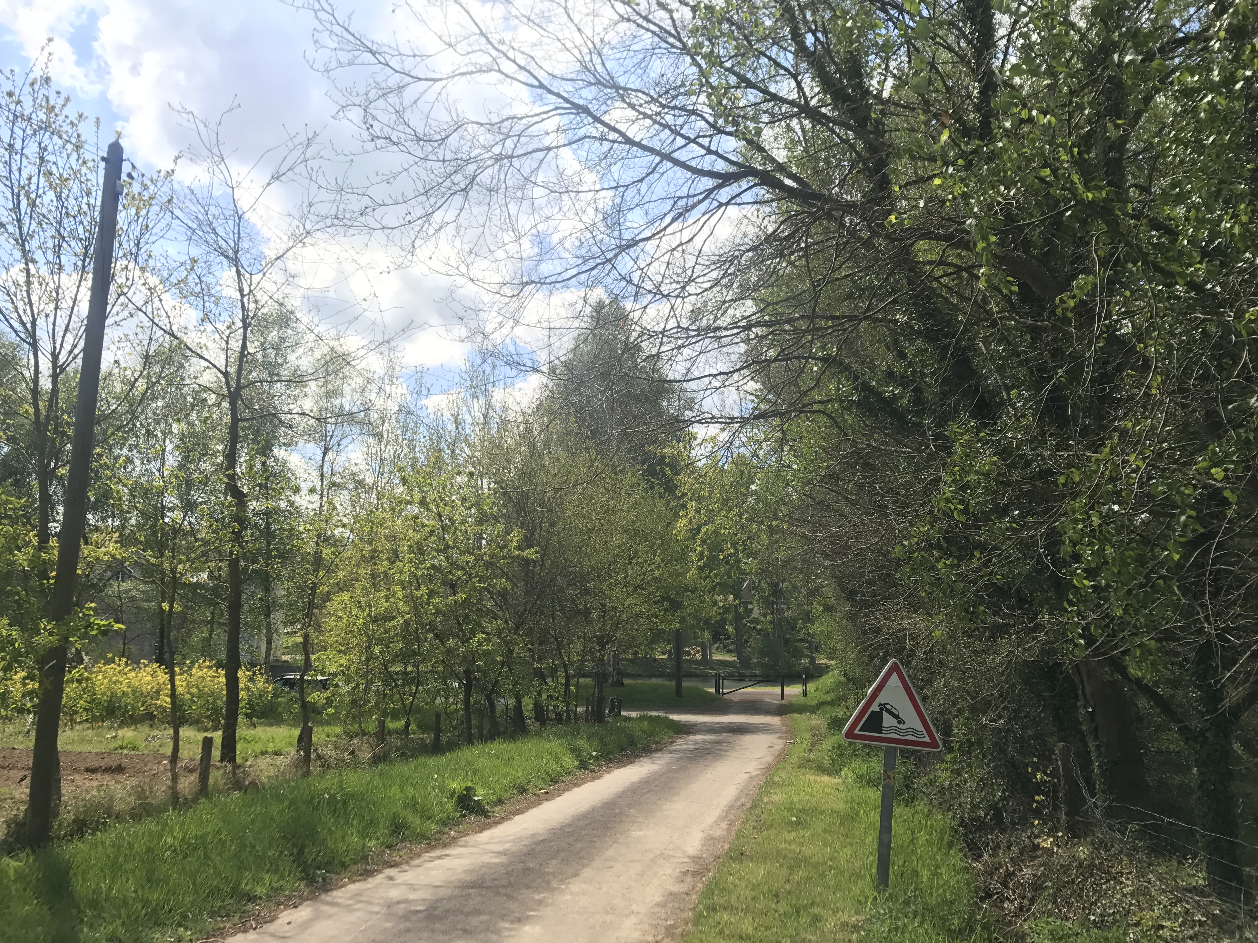
The GR 37 eventually returned to run alongside the canal itself, veering farther and nearer as it went along. It eventually skirted the town of Guillac, brushed near the canal one last time, and turned north to make its way towards the coast.

The canal curves from the left of the photo to head away from the viewer to the west.  It splits to either side of a grassy island with a half-dozen trees.  On the near bank is a paved footpath; in the distance next to the path is a white building, perhaps a lockkeeper’s house.  On the far bank, across from the island, a solid grey building can barely be seen among the trees.  The sky is blue with clouds, becoming overcast in the distance.
One last view of the canal. You can barely make out a mill on the other bank, I believe the Moulin de Carmenais.
A green pasture to the east-southeast has perhaps two dozen white sheep scattered across it, grazing.  The far edge of the pasture is defined by a solid line of trees.  Again, the sky looks more overcast in the distance than close.
Cattle would often come up to me, I assume in the hopes that I’d feed them. Sheep, not so much.

The trail took a weird jog through a woods scarred by off-road bikes, then zigzagged along roads up to my campsite, Camping du Lac, on the shore of Étang au Duc (“Duke’s Pond”), a dam-made lake. The site was the busiest I’d yet seen, though I still had no trouble finding a place to set up my tent.

For dinner, I walked around the south end of the lake and across the dam to the town of Ploërmel. I wandered around town a bit before I found a place that had an open table1; I believe I ended up at Les Ateliers Gourmands.

After dinner, I took a few pictures of the town before heading back to the campsite; I arrived as dusk was falling.

A heavy stone church tower reaches up to the sky.  Three windows are visible, a large one near the bottom and two smaller ones above it near the top.  Gargoyles perch and lean out from various points.
Ploërmel’s Église Saint-Armel. The other side of the church was being renovated.
Looking straight up from between two timbered buildings, we see a cloudy sky through the narrow gap at the top.
Looking up from a narrow street.
Map of the day’s route.

  1. It turns out that this was France’s Labor Day weekend, and thus more people than usual were on vacation, explaining both the busy campsite and the busy restaurants. ↩︎