pile.org
2017 E5 walk, day 25: Beignon to Trémelin
47°58′42.3″N
48°6′4.0″N
After making my way back up to the GR 37 trail, I immediately crossed into the Ille-et-Vilaine département, the easternmost and least-Breton part of Brittany.
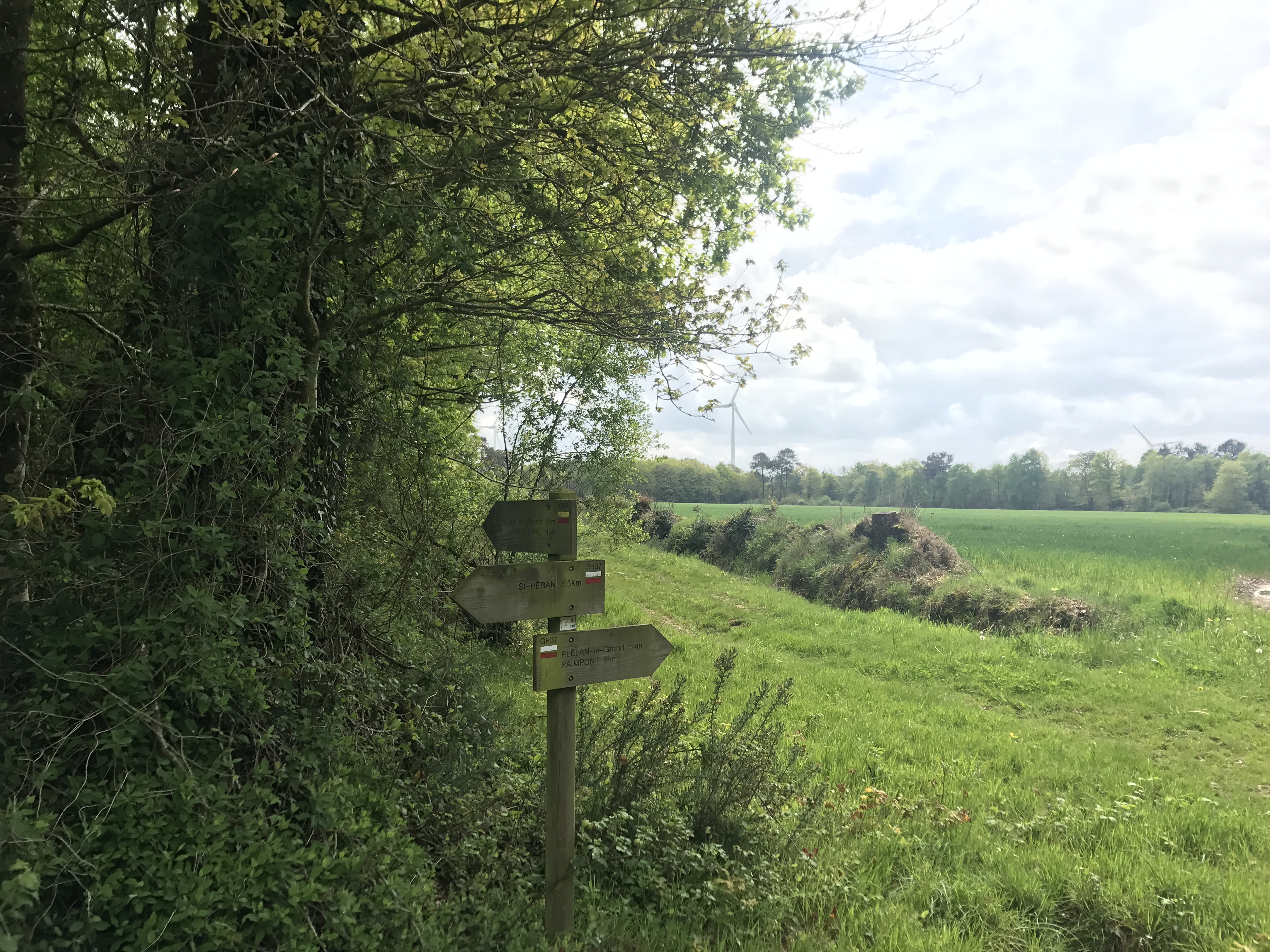
The trails of the eastern Brocéliande are kind of a mess — lots of sub-trails and local trails loop around, for day walks into the (admittedly lovely) forest. Fortunately, the GR 37 goes relatively straight, and the trails are well-signed, so I rarely had trouble following it.
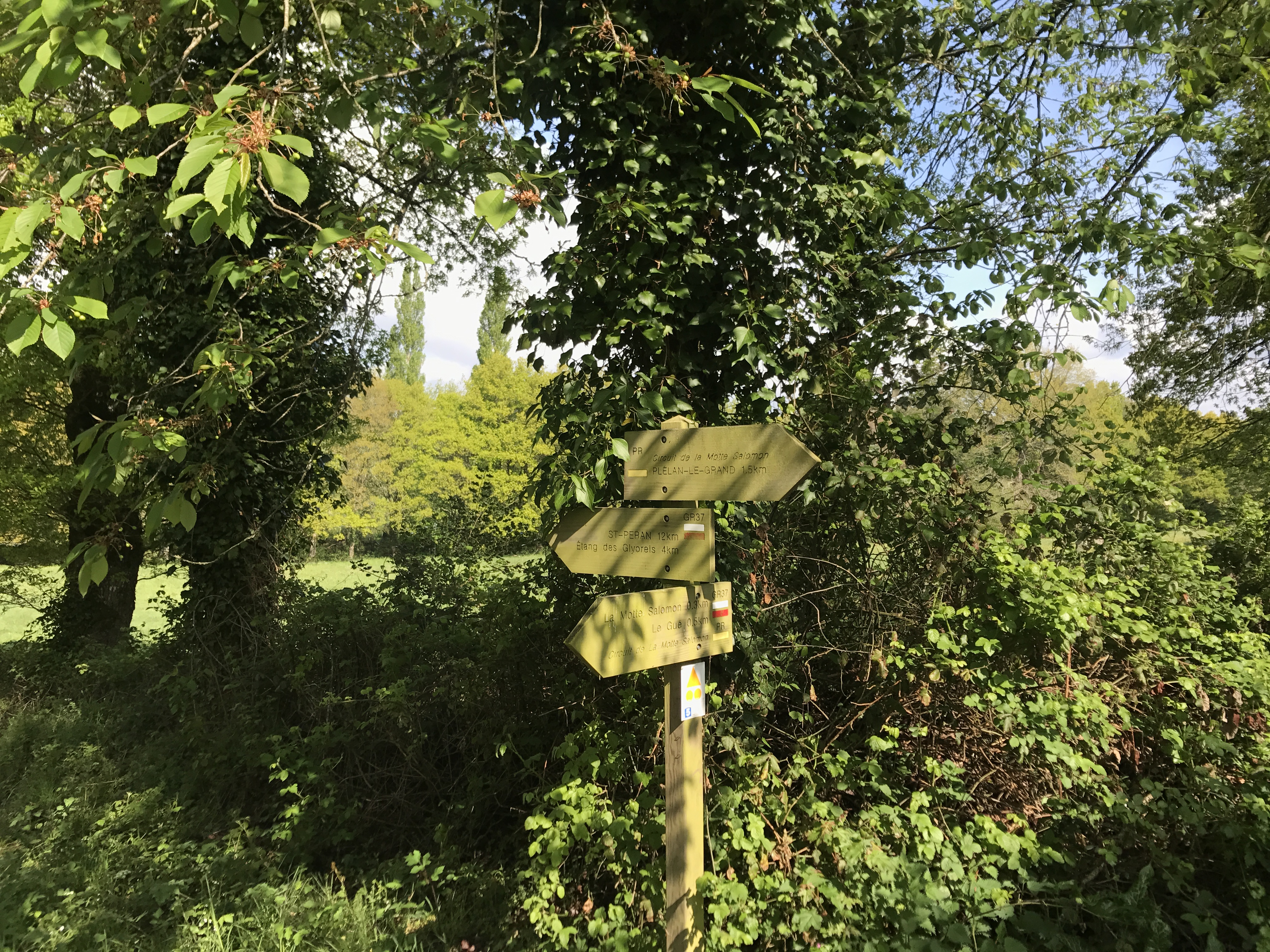
I left the trail again at the crossroads in the picture above, this time to visit the town of Plélan-le-Grand for groceries, pastries, and crêpes. Then I wound my way north towards Saint-Péran and beyond.
Later in the afternoon, the trail did a weird loop through some rocky terrain and into a steep valley (labeled on the map as la Chambre au Loup — “the wolf den”!). The markings were unclear, and I think I ended up following an old route of the trail, since I walked right alongside the Ruisseau de Boutavent rather than up above the valley as shown on the map.1 However, I ended up back on the trail at the northern end of the valley, saw some older couples fishing, and hiked up the steep valley wall (exposed and rocky, and frankly a little nervous-making) and back along my way.
The campsite for the evening was at a mostly-closed recreation area at the north end of the Lac de Trémelin. The site was expansive but (as far as I could tell) had no other guests. I arrived after the office was closed, checked their opening time for the next morning so I could pay, set up my tent, and slept well.

-
Supporting my theory, the trail was very poorly maintained, such that at one point I slipped and soaked a foot in the river — my first foot soaking on the whole walk, which is a pretty good record. ↩︎