pile.org
2017 E5 walk, day 27: Montauban-de-Bretagne to la Gilais
48°13′7.5″N
48°19′30.7″N
Returning to the trail, I followed it west through the Forêt de Montauban. The trail ran along old forestry roads: wide, flat, unpaved, and almost as boring as the cycling routes from earlier days. On the plus side, they were pleasantly shady.
The trail left the forest near the western end, and wound north across the countryside, about half on paved roads and half on unpaved roads and trails.
After I made my way through the short overgrown part, the trail joined a former rail line. Unlike the cycling routes, though, this one still had rails and ties and rocks. It was extremely unpleasant to walk on — perhaps the least-pleasant stretch of trail on my entire walk. The ties were too far apart, the rails were too narrow, and the rocks were large enough that I had to walk on them individually but small enough that they turned underfoot.

The rail trail eventually ended at a former train station, where I turned off into the town of Médréac, and almost as quickly walked out north again.
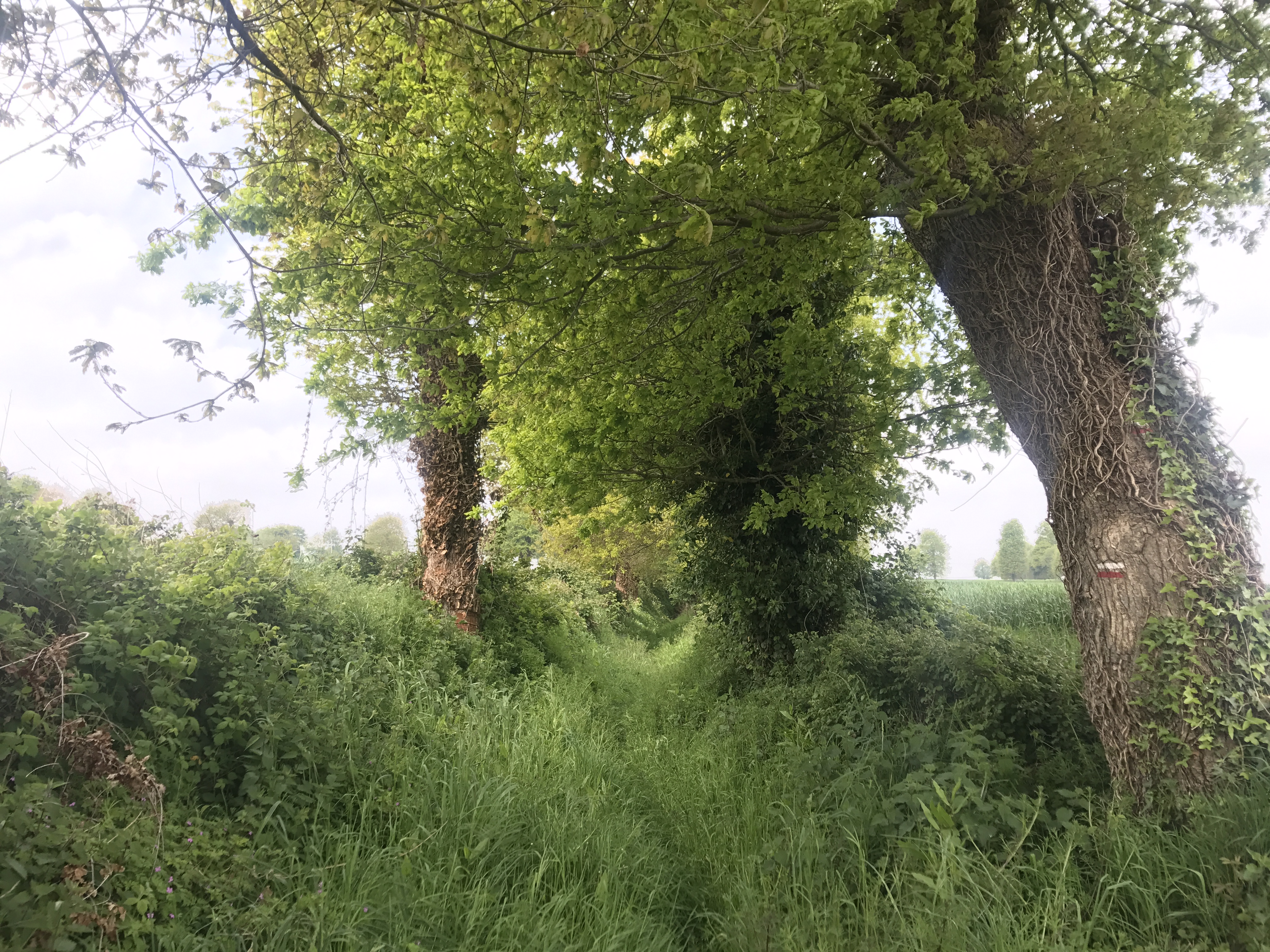
North of Médréac, the trail seemed to turn and run through a small woods. I immediately lost my way, so I suspect that I misunderstood a trail sign, and I should have instead rounded the far (eastern) edge of the woods. As it turned out, I got completely turned around, eventually skirting the west and north sides. At one point I traipsed through a field with newly-sprouting plants, before eventually finding the trail again and heading north. (Sorry, farmer whose plants I probably stepped on.)

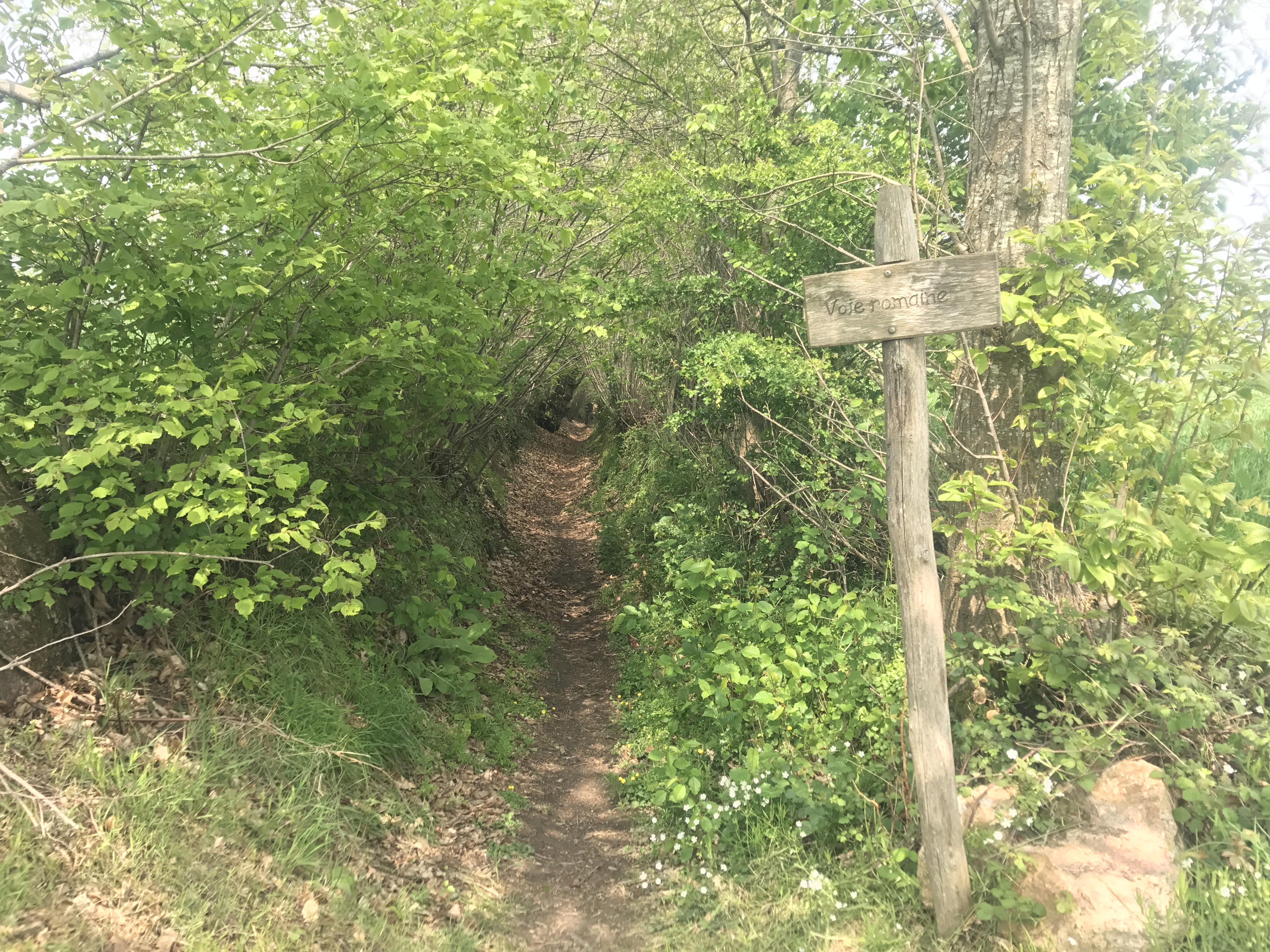
Soon after passing the menhir and Roman way, I reached the GR 34C hiking trail, which my route turned to follow. I’d been following the GR 37 for over two weeks (aside from a brief time on the GR 341). This new route was sort of a tributary of the GR 34, which I’d followed at the start of the walk, and which had continued along the coast as I’d wound my way inland.
Further north, at the settlement of la Gilais, I left the trail to get to my AirBnB for the night. It was listed in the town of Guenroc, a 45-minute walk west (about as far as I was willing to stray from the trail); I made my way along back roads and trails, then a highway and bridge to cross the Rance river.
The AirBnB doesn’t appear to still be listed; the hosts gave directions to the center of Guenroc, but the apartment was further still, at the settlement of la Ville Bourdais (close to the lake made by the damming of the Rance). One of the family picked me up in her car and drove me the last couple kilometers, which was the fastest I’d moved since I reached Audierne. It was a cute little one-bedroom apartment, where I cooked another simple pasta dinner and slept well.
