pile.org

2017 E5 walk, day 34: Mont-Dol to Roz-sur-Couesnon

Section 8, Day 34
Mont-Dol
1°46′4.3″W
48°34′8.3″N
Roz-sur-Couesnon
1°35′23.3″W
48°35′42.7″N
low 54 °F
high 63 °F
49,536 steps
18.9 miles

Walking back around the base of Mont Dol, I continued south for a short stretch along the trail.

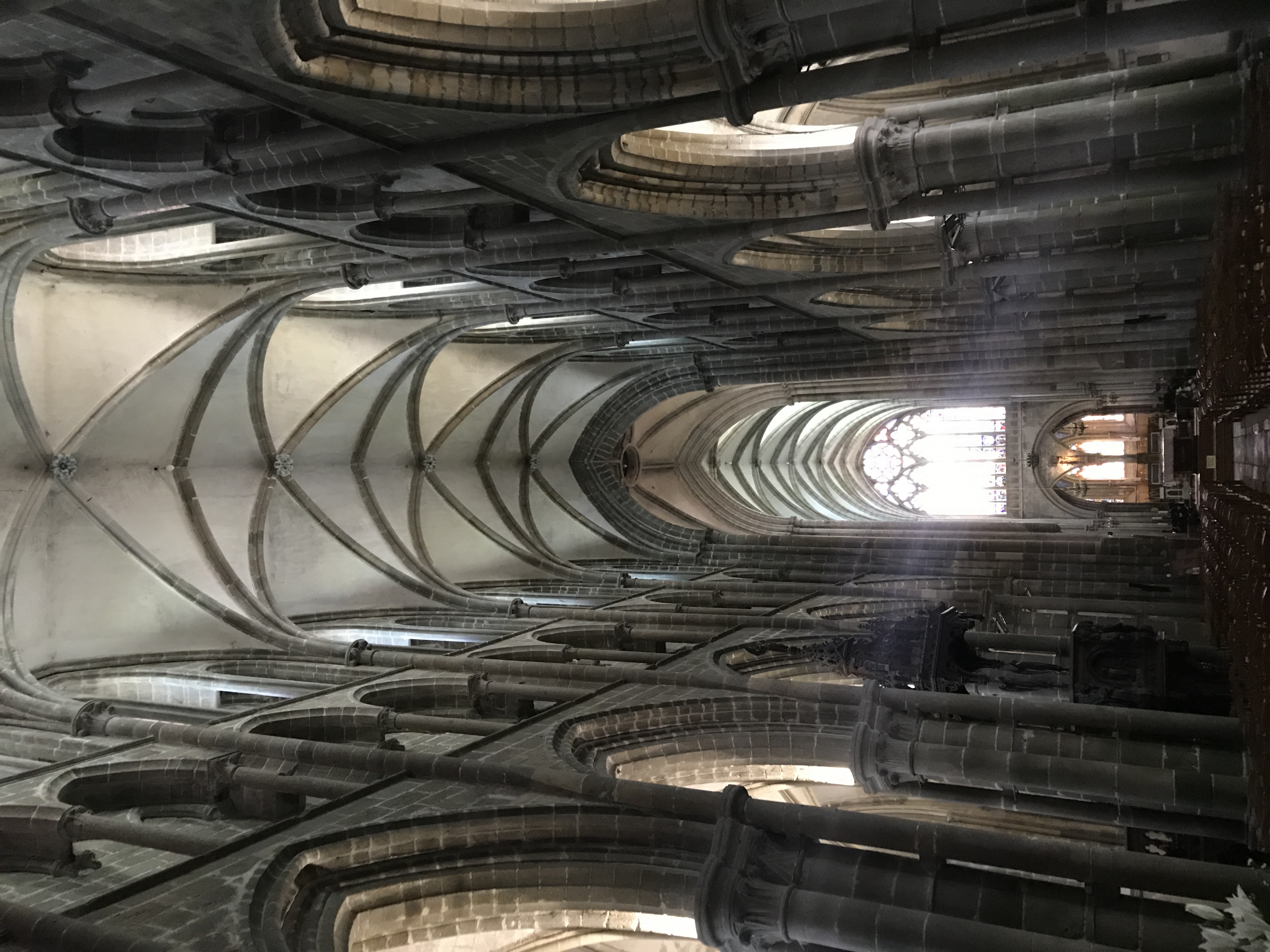
The trail resumed heading east near the base of a fairly steep bluff, where I detoured up to the city of Dol-de-Bretagne perched on top, for supplies.1

To the south-southwest, a
massive stone cathedral sits by a small lawn.  The cathedral looks like it has
accumulated various buttresses, towers, and spires over the centuries; it is
difficult to determine the exact history of the construction.  By the lawn, a
single car is parked in a parking lot; overhead are three small birds and some
wispy clouds.
Cathédrale Saint-Samson was fascinating. (This is the back of the cathedral, which I thought looked more interesting than the front.)
Looking down the nave of
a cathedral, light pours in through a stained-glass window in the apse at the
far end.  Overhead, the ceiling is arched down its length.  The side aisles are
lit from outside, though the windows (and most of the aisles themselves) are
hidden by pillars.  The altar and crucifix are backlit and barely visible.
Inside the cathedral. I took dozens upon dozens of pictures of churches and chapels, but rarely from the inside.

I got groceries at the organic grocery store, Biocoop le Chat Biotté, which felt exactly like a PCC back home. Then, bread and pastries from a bou­lan­ge­rie (I forget exactly which one — L’Atelier des Saveurs, maybe?), and then I returned to the trail. It continued east below Dol’s bluff, winding and zig-zagging along the marshy flatland.

A greenish canal or stream runs left to
right, or perhaps right to left, across the photo.  It has many patches of
algae, and looks to be less than ten feet wide.  The banks on each side are
covered by tall grass.
This little canal, which apparently deserved its own name (la Vieille Banche), was typical of many I passed along this stretch.

After some time, the trail climbed back up the bluff, then back down to the town of Saint-Broladre (I briefly lost the trail for some reason here), immediately back up, and then wandering along east through wooded areas to the town of Roz-sur-Couesnon. I stopped there for a snack at Bou­lan­ge­rie Lepannetier Jeanine, and then back down the bluff towards my campsite.

In front of a tree is a white
sign on a wooden stake.  The tree has the white-over-red blaze of a GR trail.  Past the tree, to the north-north­east, we
can see a trail head down a steep, narrow gap, with brush and perhaps trees on
the far side.  The sign reads “PRUDENCE!  Secteur difficile et glissant.  (chaussures
adaptées)”.
This sign marked the steep trail down: “Caution! Difficult and slippery section. (appropriate footwear)”. I charged ahead, and (of course) slipped on the wet slope and got mud all over my pants.

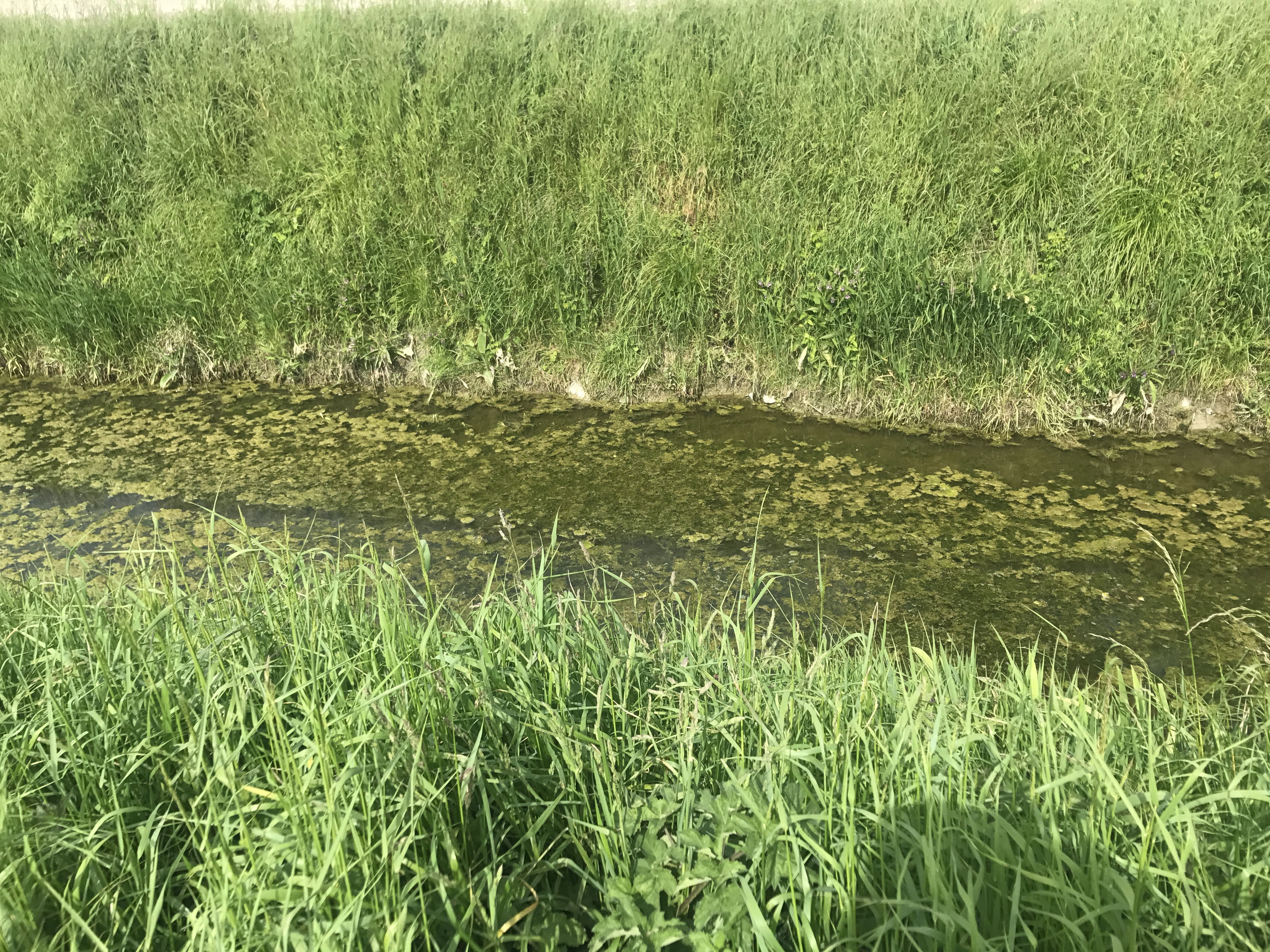
At the base of the bluff, the landscape was different. I was in the polders, land “reclaimed” from the sea. It was flat, almost disconcertingly so, with just the slightest grade down towards the water. I passed a settlement called les Quatre Salines (the Four Saltworks) and arrived at les Couesnons, a combination campsite/restaurant. The owners weren’t around yet when I arrived, but I set up my tent and they showed up soon enough to open the restaurant. I ate dinner there, and went to sleep early for my planned early rise the next morning.

Map of the day’s route.

  1. It turns out that with this, I accidentally visited three of the seven cities making up the Tro Breizh, the pilgrimage to the cathedrals of Brittany’s seven major saints: Quimper, Saint-Malo, and Dol-de-Bretagne↩︎