pile.org
2017 E5 walk, day 35: Roz-sur-Couesnon to Mont-Saint-Michel
48°35′42.7″N
48°38′8.9″N
Mont-Saint-Michel was not going to be a long walk away. My goal for the day was to get up early and make it to the campsite before noon, so that I could spend the afternoon sightseeing. I managed to leave around 7:30 AM, definitely early for me. (Breaking camp rarely took less than an hour, so I must have been up by 6:30 AM.)
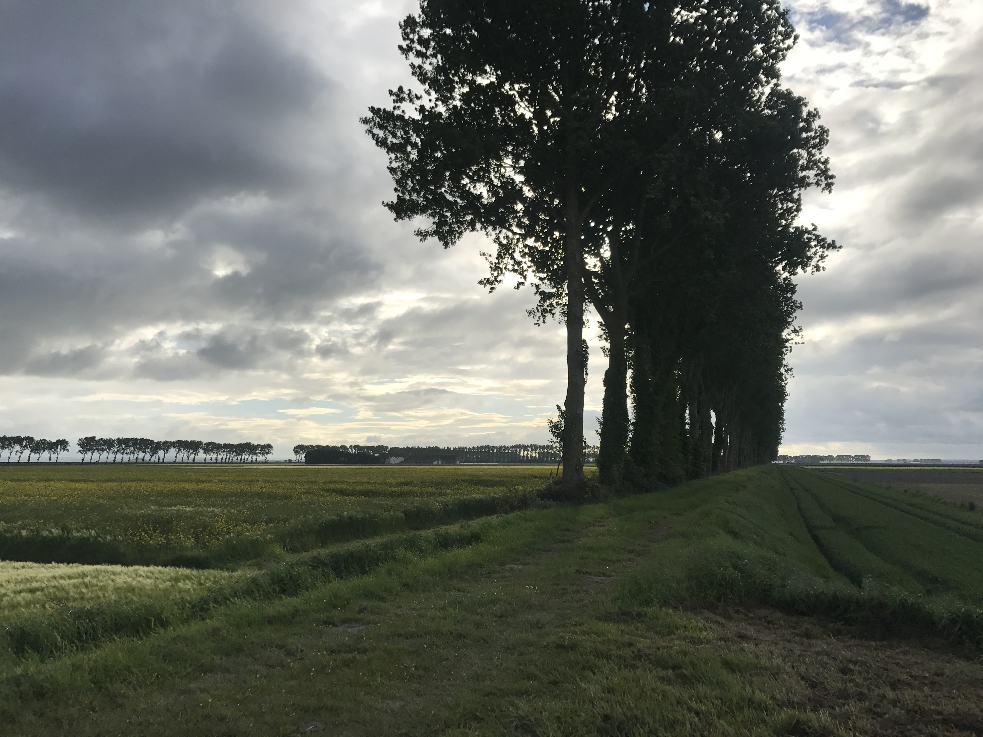
As before, the area was almost alarmingly flat, the trail following roads and paths between polders.
Eventually, the trail reached les herbus, also called prés salés, the salt meadows along the shore. From there, it turned east, and soon after I left five weeks of Brittany behind, as I crossed over a barely-marked line into Normandy.

The trail headed more or less straight towards Mont-Saint-Michel, by this point prominent in the distance (though I’d been seeing it on the horizon since I rounded the Pointe du Grouin).
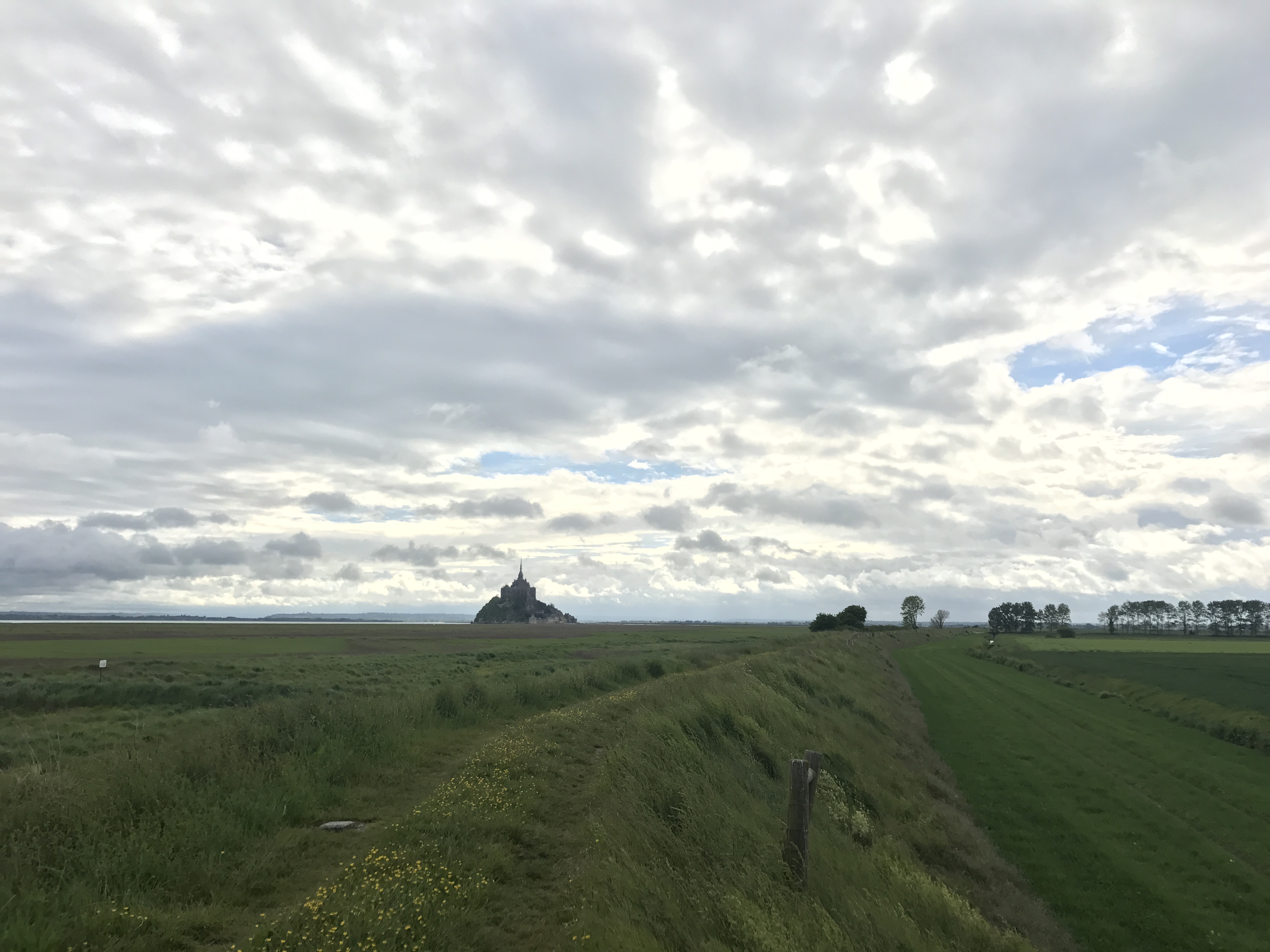
Mont-Saint-Michel is a rocky island just offshore of the mouth of the Couesnon river. The trail jogged inland briefly to cross a relatively new dam over the river1, after which I left the trail and turned south to get to my campsite, Camping Aux Pommiers (“Apple Tree Camping”). I got my tent set up before noon, so I had the afternoon free to sightsee; unsurprisingly, I headed out to Mont-Saint-Michel, which I’m separating off onto its own page.
After touring, I had a cheap mid-afternoon snack at le Tripot on the island and got some postcards to send home. Returning to the campground, I did some laundry, and ate dinner across the street at la Restaurant de la Galette.
This was the end of the first major leg of the journey, five weeks of solo walking over 570 miles — the hinge, as the Kesh people would call it in Le Guin’s Always Coming Home. I didn’t realize it at the time, but I was more than halfway through the walk.

-
The whole hydrology of the area was recently repaired after decades of mismanagement. ↩︎