pile.org

2017 E5 walk, day 36: Mont-Saint-Michel to Avranches

Section 9, Day 36
Mont-St-Michel
1°30′42.2″W
48°38′8.9″N
Avranches
1°21′53.6″W
48°41′13.9″N
low 50 °F
high 66 °F
55,021 steps
20.7 miles

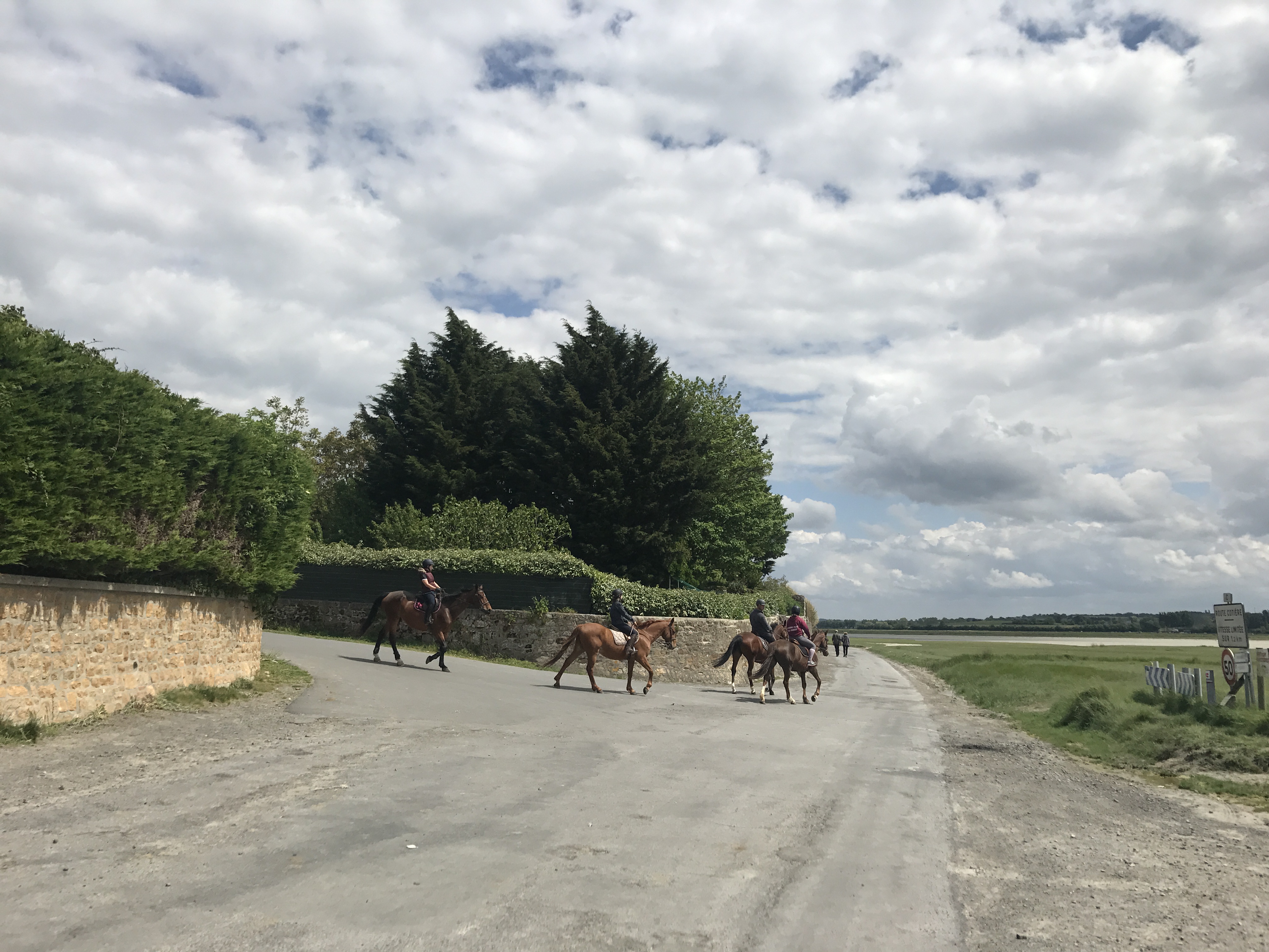
At the foot of the causeway to Mont-Saint-Michel, the GR 34 and GR 22 met, the latter coming from Paris roughly along an historic pilgrimage route to the abbey. I said farewell to the GR 34 for the last time, and started heading “backwards” along the GR 22, which I would stay on until I reached Paris.

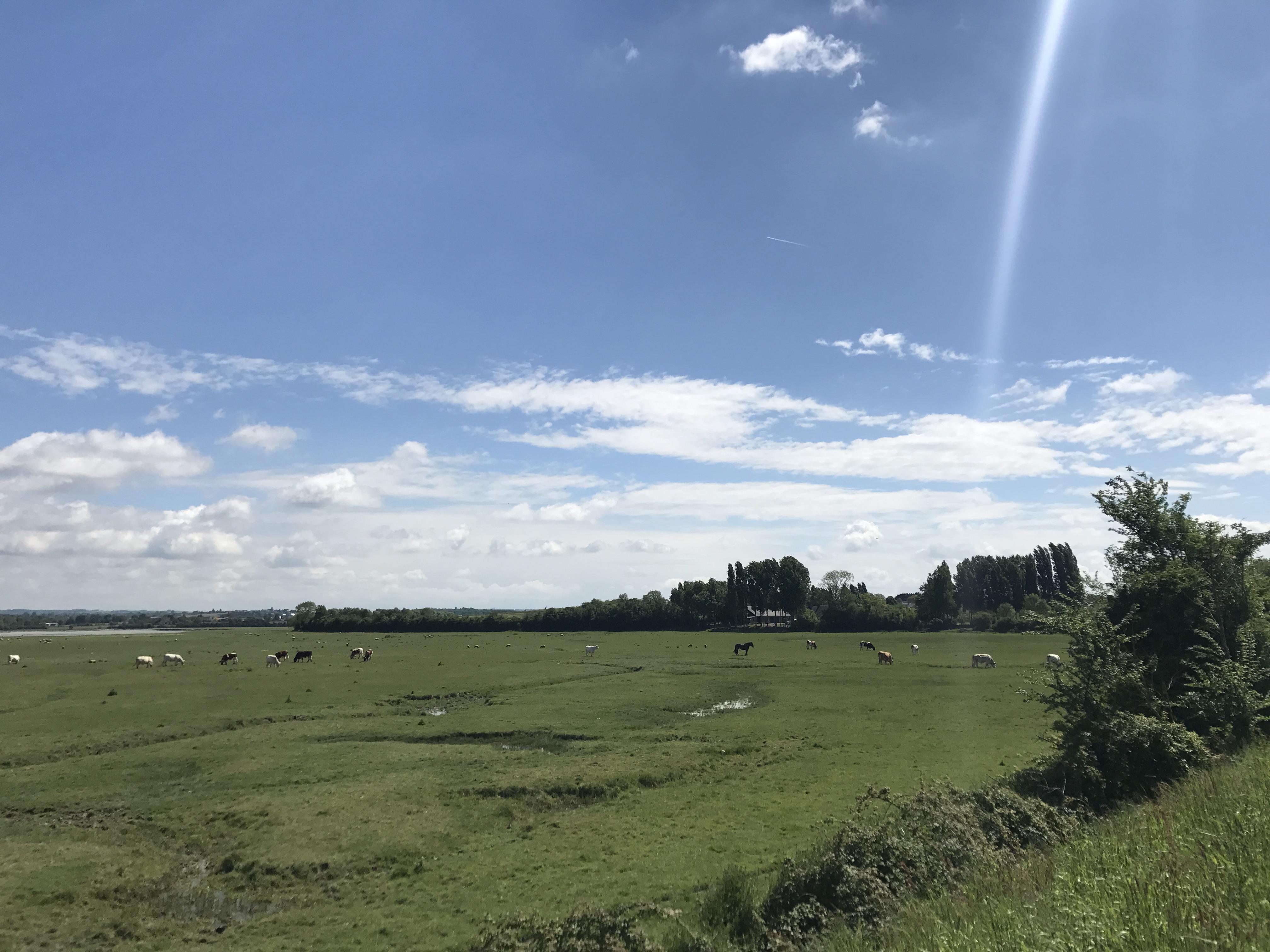
Like the start of the previous day, the trail ran along the shore and remained incredibly flat for most of the day.

About two dozen sheep are in a grassy meadow to the south, about half grazing and the other half resting.  On the far side of the meadow is a narrow stretch of water.  Beyond the water is another meadow with perhaps some cattle, with trees and a few buildings beyond that.
More agneau de pré-salé, grazing near an inlet.

At one point, in fact, the map appeared to show the trail crossing through the sea … but it was actually just wet ground that probably gets submerged at very high tides.

A wide dirt trail runs from the right side of the photo to the bottom.  On the far side of the trail, a white sheep and lamb are walking towards the left.  To the northeast, a band of grass runs along the far edge of the trail, with a row of stumps marking a boundary.  Past the grass is a broad tidal flat.  Some land is visible on the horizon; the sky is mostly cloudy.
I saw these two just past the wet ground. I stayed to one side of the road to let them pass with as little stress as possible.

Continuing east, the bay became the mouth of a small river, easy to see across to the other side where the trail wrapped around it.

To the east, down a brush-covered slope, is a broad, grassy meadow, with cattle and a few horses grazing.  The far side of the meadow is defined by trees; to the far left of the trees is a small bit of water, perhaps an inlet.  The sky above is blue, though clouds and haze are on the horizon.
Soon after taking this picture, I walked through the field. To get out the other side, I had to walk through a group of cows, which was a more alarming experience than I expected. Did you know that cows are large?

I crossed the river near its mouth in the town of Pontaubault, which has a small plaque at the bridge, describing how General Patton’s armored division poured across after the bridge survived days of artillery fire. I stopped for pastries at David Gonfroy’s bou­lan­ge­rie, and turned north to follow the trail up along the shore towards Avranches.

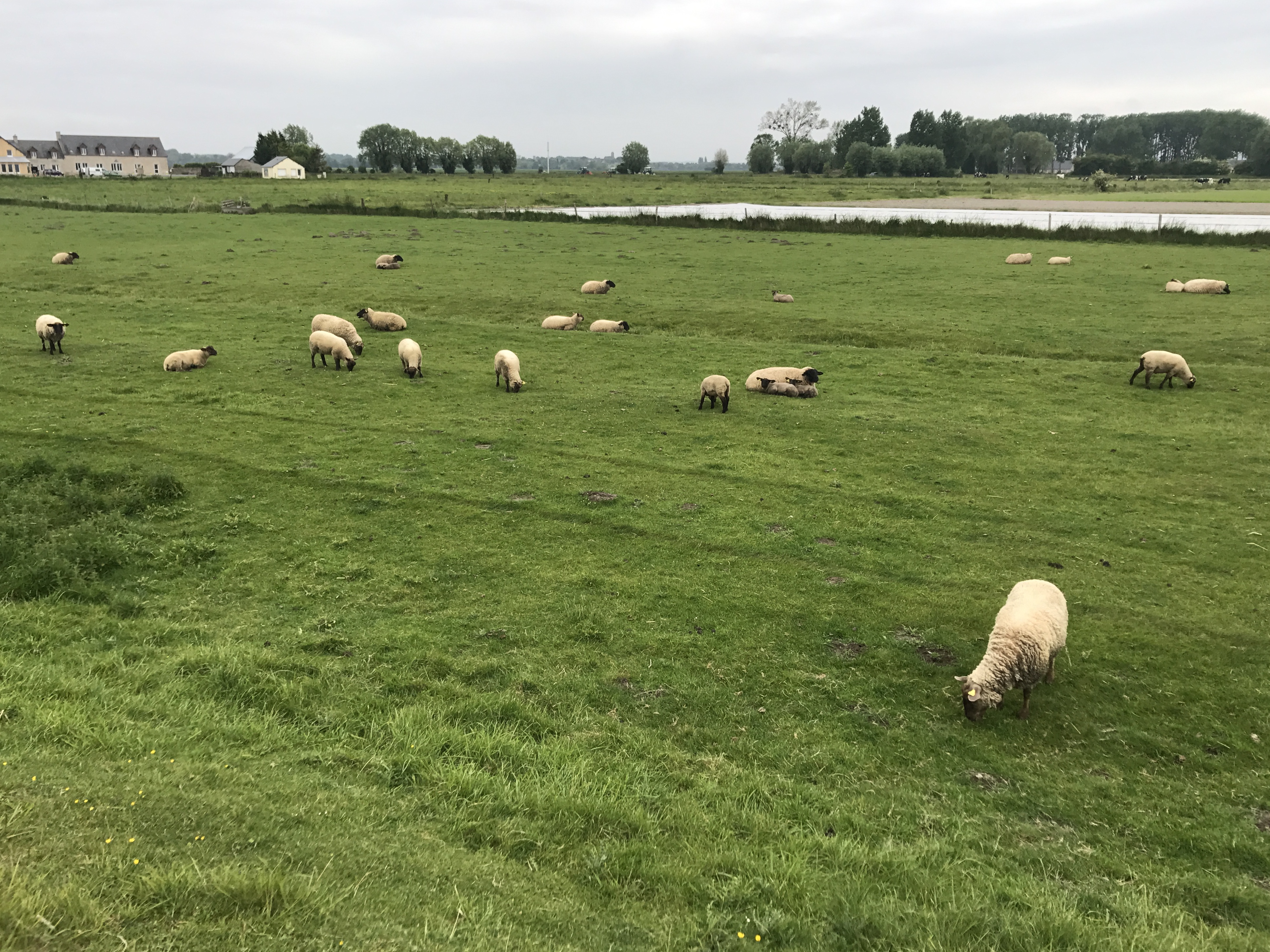
The trail here alternated between pavement (roads and parking lots for the shoreline) and fields (some populated with sheep), flat as a pond the whole way.

A paved road heads away to the east-southeast; a side street runs up to the left.  From the side street walk four brown horses, each with a rider, turning away from the viewer to their left.  The two corners of the intersection are defined by low stone walls, both with hedges behind them; large trees rise beyond the far hedge.  To the right of the road is a grassy field, then an inlet, and then more land.  The sky is mostly cloudy.
Looking back the way I came. The map shows a stable up the road a bit; these were moving quite slowly, making me think it was a tour.

A little further along, there was an airfield in the reclaimed tidal flat, and I was treated to an autogyro practicing takeoffs and landings.

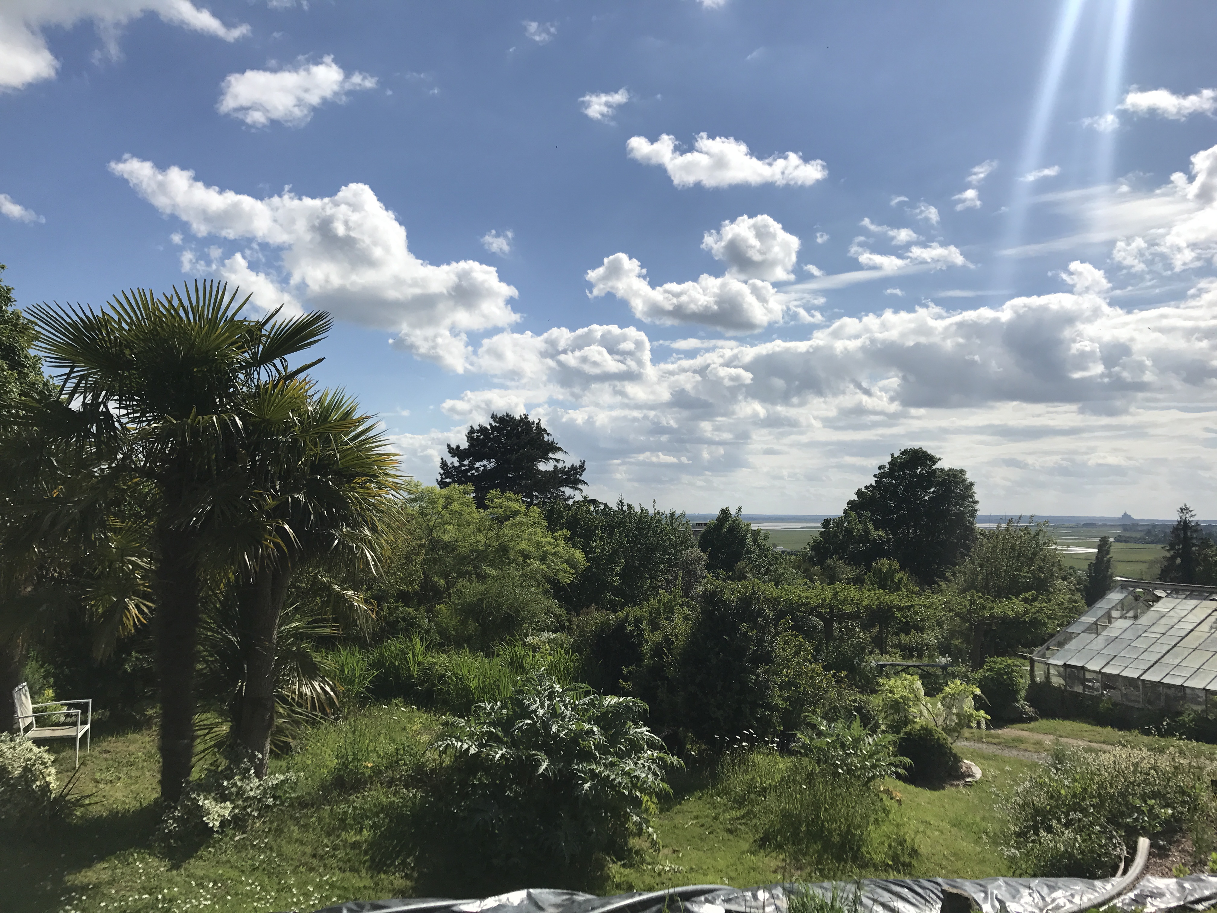
My destination for the evening was a campsite on the edge of the town of Avranches. The trail reached town by winding past and through a light-industrial zone, passing the train station, and finally climbing the bluff into town. I then wound my way past a high school and to the combination urban garden and campsite, PowerSalad.farm; it felt like it would fit in perfectly in Bellingham, or maybe Eugene. I had emailed ahead to confirm that it was open, but when I arrived, the owner wasn’t there. I tried calling, as did a friend of the owner who’d dropped by to visit; eventually we gave up, and I set up my tent in a promising-looking space and headed into town.1

A profusion of bushes and trees fill the slope down to the southwest.  Nearby on the left are a pair of palm trees, with a patio chair under them.  Downslope to the right is a greenhouse with some open or missing panels on its roof.  In the far distance, we see tidal flats and salt meadows, and on the horizon stands Mont-Saint-Michel.  Clouds are sharp against a brilliant blue sky.
PowerSalad.farm, on the upper slopes of Avranches’s bluff. In the distance near the right of the picture, you can see Mont-Saint-Michel.

After strolling around town, I settled down to dinner at Serhat Kebab, on a busy plaza in what might have been the heart of town several decades ago.

If you’ve been following along, you’ll notice this is a break in tradition: I ate relatively cheaply on the whole trip, but in Brittany, most of my meals were crêpes.2 Starting here in Avranches, a day after crossing into Normandy, crêperies all but vanished, and the ubiquitous cheap and quick meals were döner kebabs.

On the way back to PowerSalad.farm, I stopped for some groceries. The night was windy, but I settled down and slept well.

Map of the day’s route.

  1. I never saw the owner, so left the camping fee in a common room the next morning. I got a friendly email a few days later, confirming that’s just how they rolled. ↩︎

  2. Technically they were galettes de blé noir (buckwheat crêpes), savory and typically filled with cheese, eggs, sausage, and such. ↩︎