pile.org
2017 E5 walk, day 38: L’Anglaicherie to la Filtière
48°41′38.4″N
48°45′19.5″N
I headed back into Brécey for pastries, I believe from from Boulangerie Pâtisserie de Saint Denis, and then trekked back to the trail. At the start of the day, the trail was muddy, almost swampy, but it dried up pretty quickly.
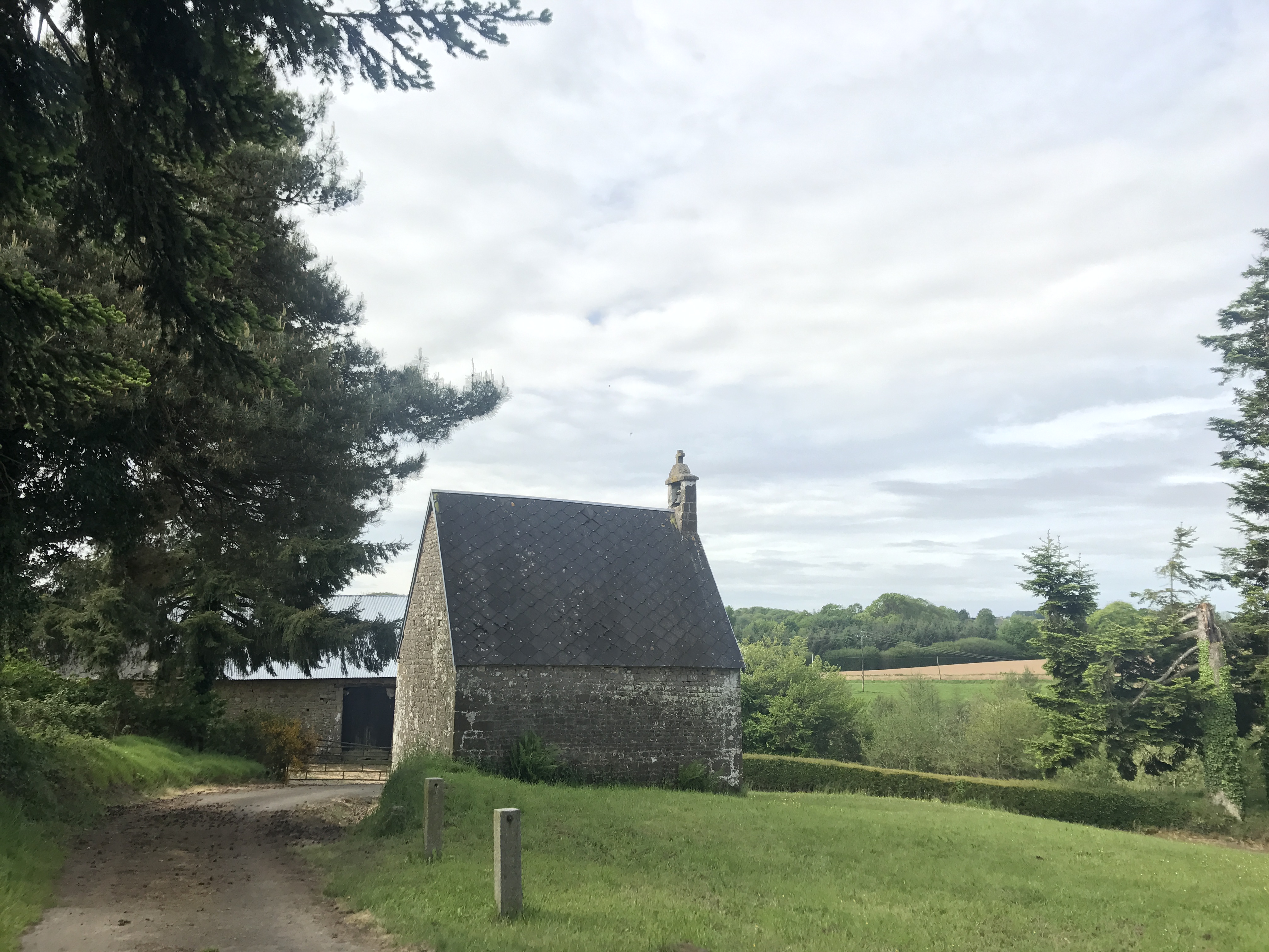
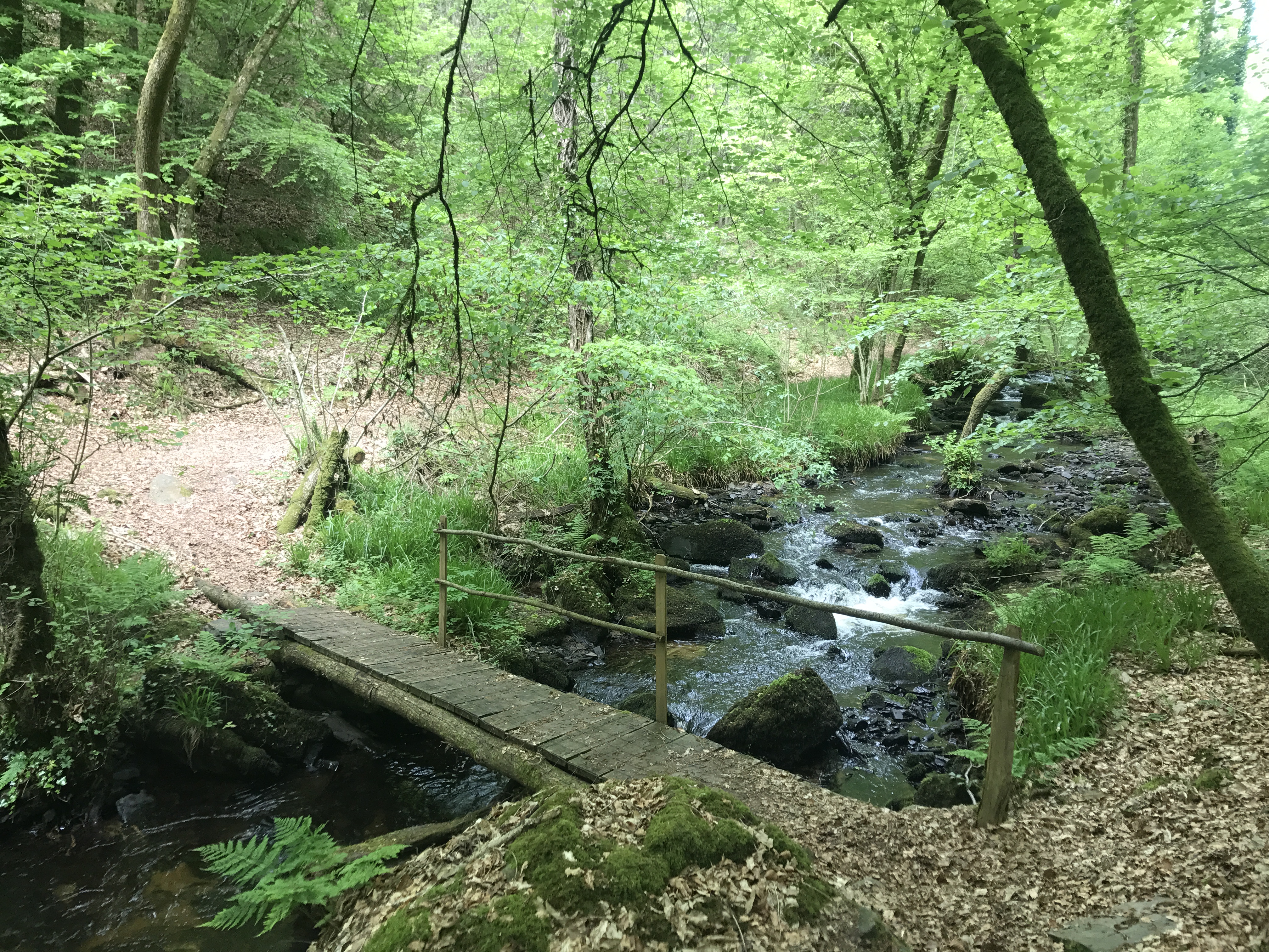
This was another day that didn’t stick in my memory very well, perhaps because I didn’t take very many pictures.1 The map shows that I descended into several stream valleys and climbed back out again, and the stair-climbing data from my phone supports that.
I ate lunch2 at a brasserie in Cuves called à la Cuvée Normande, a straightforward entree with sides from a buffet. Like previously in Saint-Gonnery, I got a few strange looks from the regulars, but it was nice to sit down for a meal that was slightly more formal than crêpes, or a sandwich while I walked.
Shortly before the town of Saint-Michel-de-Montjoie, near the mark on the map called la Filtière, I left the trail and headed west-northwest along a country road to la Tentonnière, where I splurged on a B&B after camping for nearly a week straight. The owners, from Ireland if I recall correctly, appeared to have converted a former barn into a very nice B&B. I was the only guest for the night, and had a nice dinner, a good shower, and a solid night of sleep.

-
I’ve found that reviewing the photos I took, and to a lesser degree tracing the route on the map, has really strengthened my memories of the walk. ↩︎
-
Here’s an example of my memory being jogged by photos: I never took a photo of this place (in general, I tried not to take pictures of people; negotiating consent is hard enough in my native language). However, I remembered eating lunch at a place immediately after turning a corner to the right, and based on the timestamps of the surrounding photos, this lined up nicely. ↩︎