pile.org
2017 E5 walk, day 6: Sainte-Marie-du-Ménez-Hom to Kervézennec
48°12′0.2″N
48°16′44.1″N
I was treated to breakfast in the owners’ home (across from the hotel) before I left the village, then headed out to the summit of Ménez Hom.
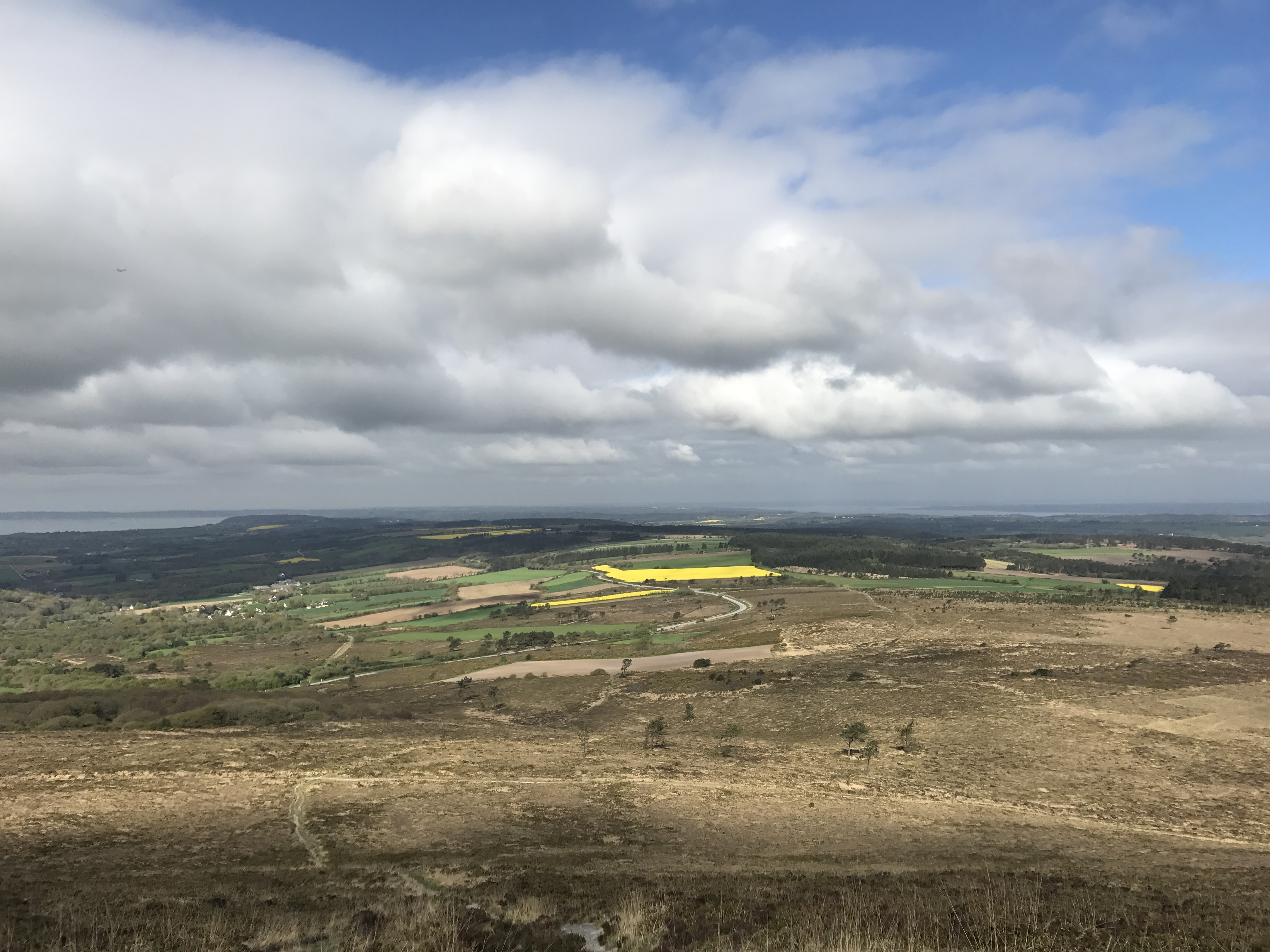
I made it to the top by 10:30 AM, and had a sweeping view of the surrounding area. None of the pictures I took did it justice.
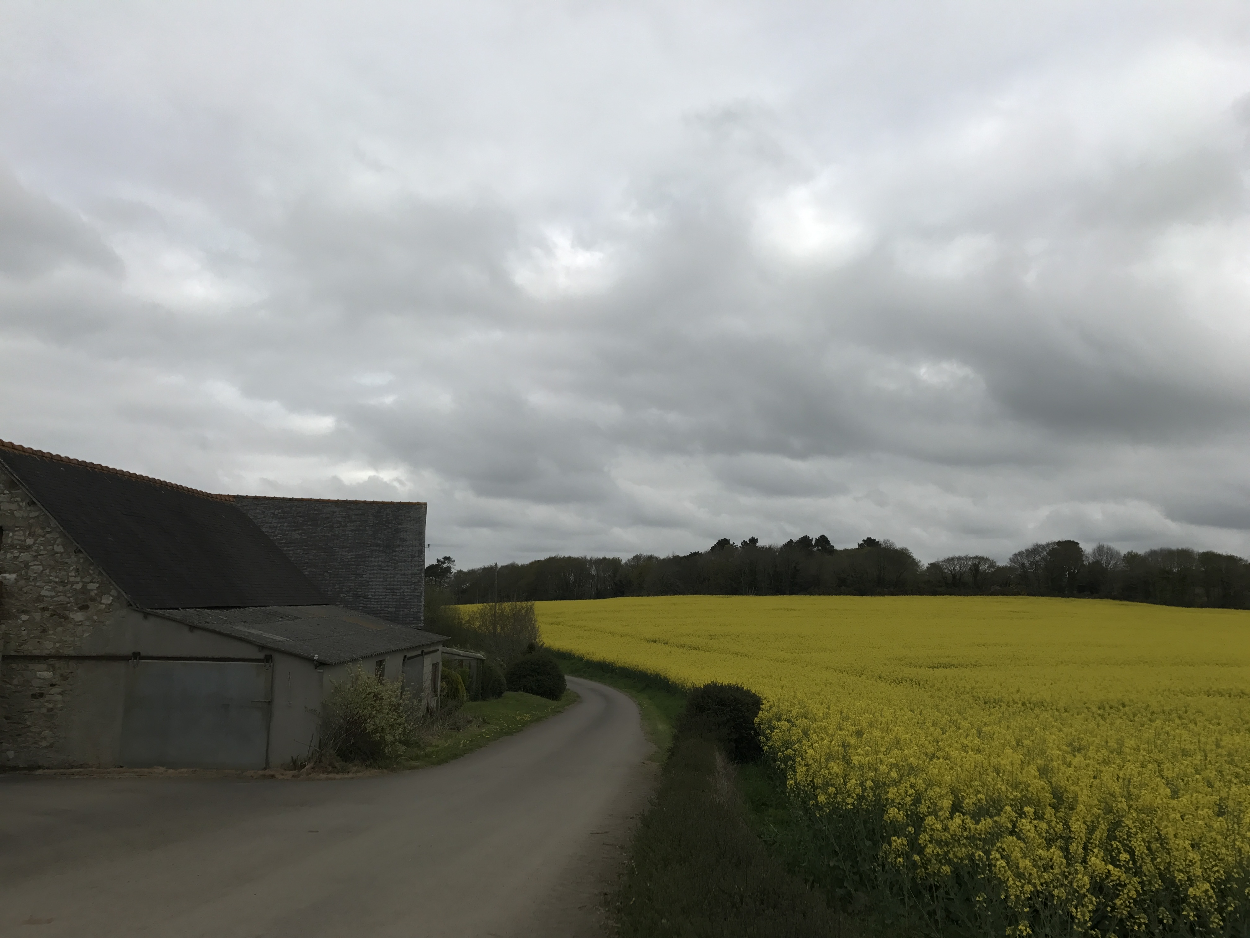
From the top, the trail headed down to the north. Many stretches of trail this day were on paved road, which I did not particularly love. I’d naïvely expected that pavement wouldn’t be much harder on my feet and ankles than packed dirt, but it was noticeably worse, and my ankle started hurting again.
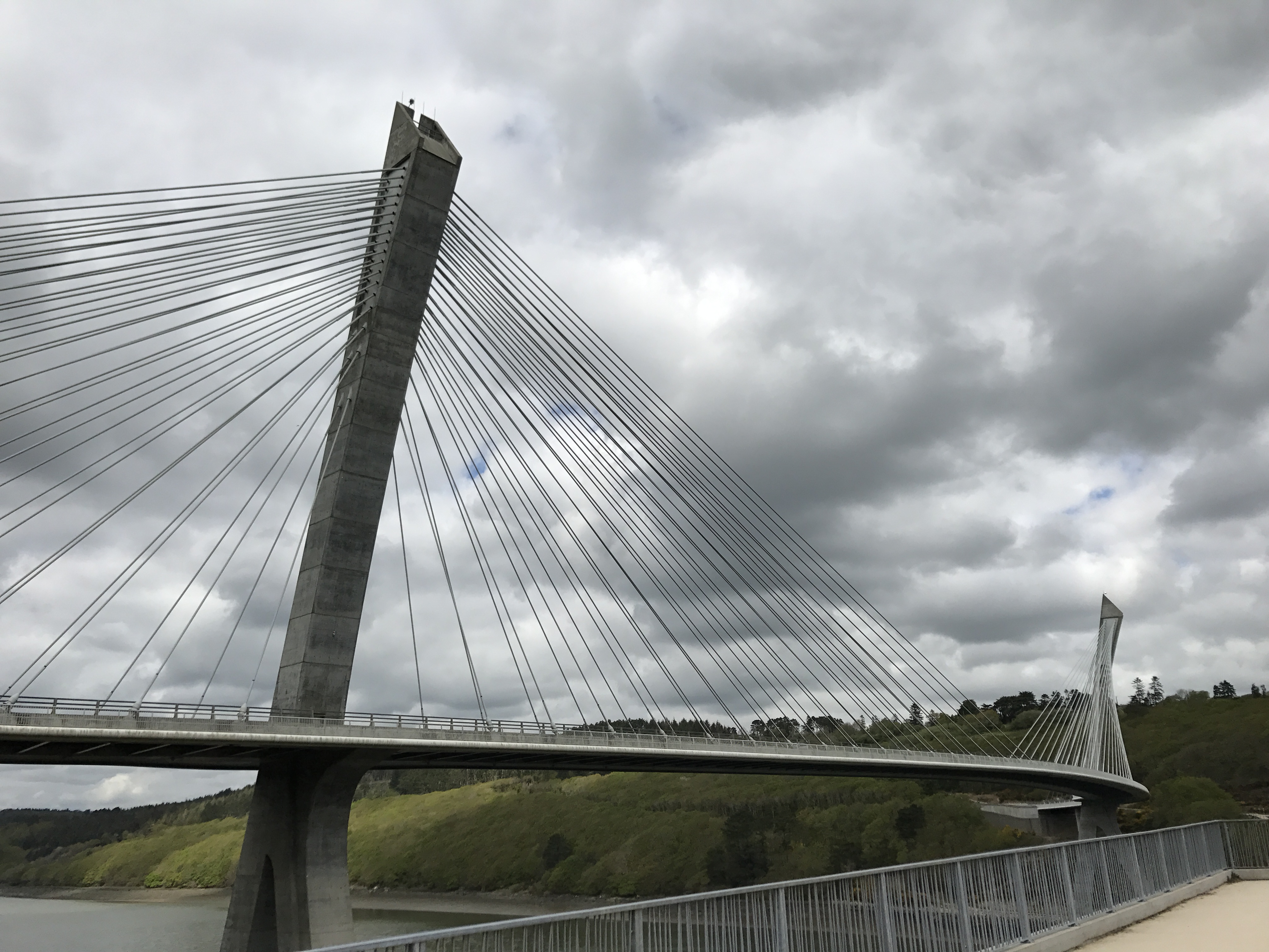
I ate some bread and salami for lunch, and crossed the Aulne early that afternoon on a striking bridge.1 I particularly appreciated that its pedestrian lane was well-separated from the motor vehicle lanes.
After the bridge, the trail wound along a steep slope and into farmland. I missed one turn but quickly made my way back to it, and scrambled along a narrow trail with a surprising number of branches and even trees fallen across it. By mid-afternoon, I found myself at my day’s destination: a gîte d’étape (hostel) called Gîte Ty Bihan.2
Of course I hadn’t learned to call ahead yet3, but managed to get the attention of the owners. They were a couple (she was from England and he was from France with roots in Brittany), recently back from Australia, who had just purchased this gîte from the previous long-time owners. Serendipitously, this was the first day they were open (both for the year and under their ownership), and only because a group of hikers had booked part of the place in advance. The place was plenty large enough for all of us, so I found myself a bed, planning to cook some of my pasta for a simple meal.
The five hikers arrived an hour or so later, heading along the GR 37 in the opposite direction as me. They were a group of old friends plus some partners, who went on a week-long hike in a different part of France every year. They invited me to join them for their spaghetti dinner in the gîte’s common room across the drive, and it was one of the loveliest times of this part of my walk.
Most of the time I just listened to their conversation (and only getting the gist of it), though Marie (the most comfortable with English) would occasionally translate for me. Among other things, they told me there had recently been a storm, and warned me about some blockages on the trail ahead of me.
At the end of the meal, the new owners celebrated their first guests by opening large bottles of cider that came with their purchase of the property, made with on-site apples. The bottles had been aging in the barn, and had dust and bird dropppings on them, and the cider was fabulous — it had a wild flavor that reminded me of lambic. They served straight cider, followed by kirs Bretons (cider with crème de cassis), and then I walked (limping slightly) back across the drive to sleep.

-
At this point, the GR 37 that I was following merged with the GR 34 (that I had followed for the first four days of the walk). They would diverge again after the next day. ↩︎
-
Ty being another spelling of ti, Breton for house. ↩︎
-
Or rather, I had learned that I should, but hadn’t started actually doing so. ↩︎