pile.org
2017 E5 walk, day 3: Pors Peron to Douarnenez
48°5′9.3″N
48°5′47.1″N
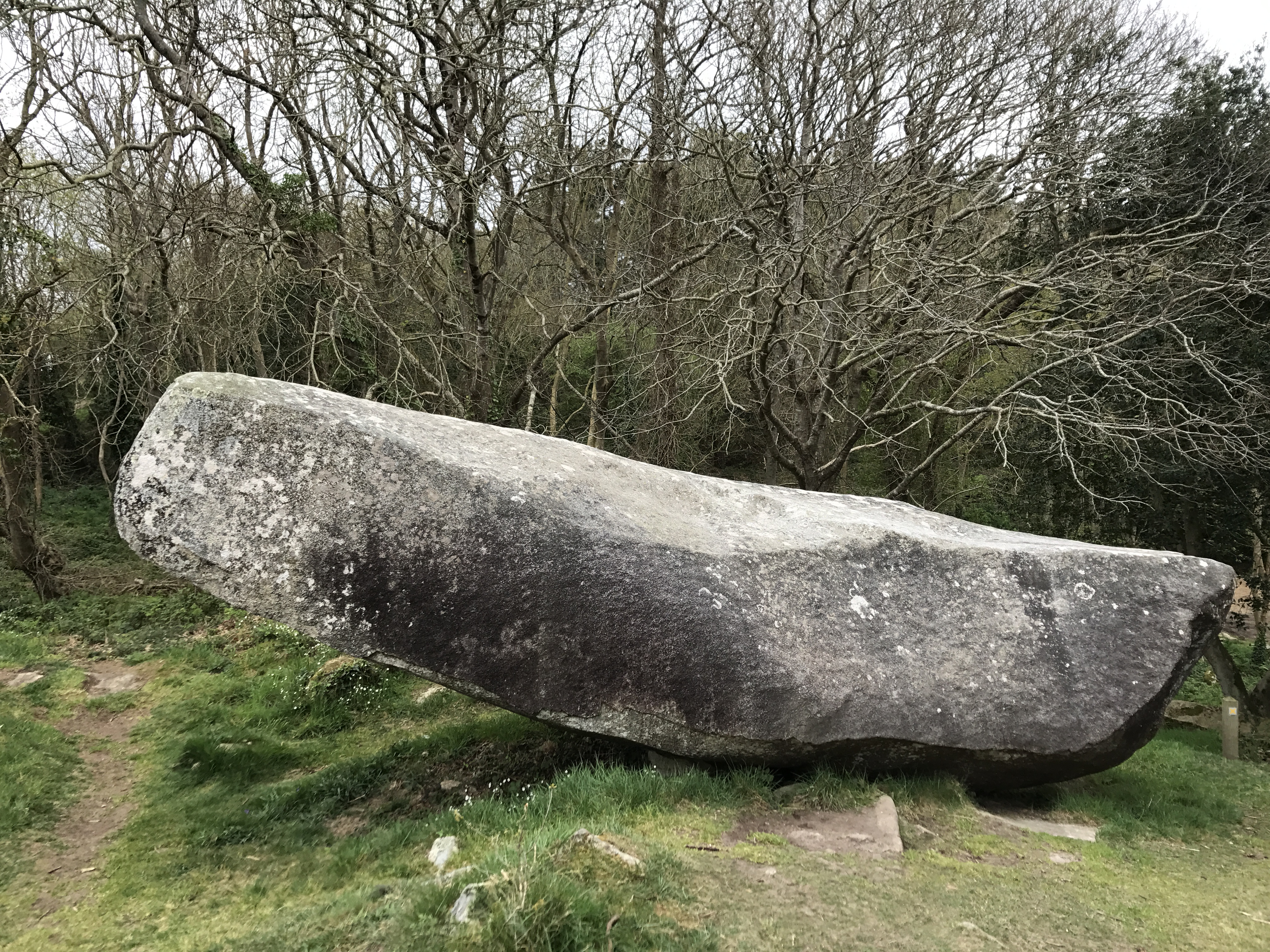
The trail this day was much like the previous: mostly up and down along the clifftops. At one point, however, the GR 34 trail was closed, with a detour inland on a smaller local route.1 I very briefly considered ignoring the sign and continuing, but realized that was a stupid idea. I’m glad I didn’t, not only because I didn’t fall into the sea and die, but also because the detour took me by a delightful mill, Moulin de Kériolet, and a nearby menhir.

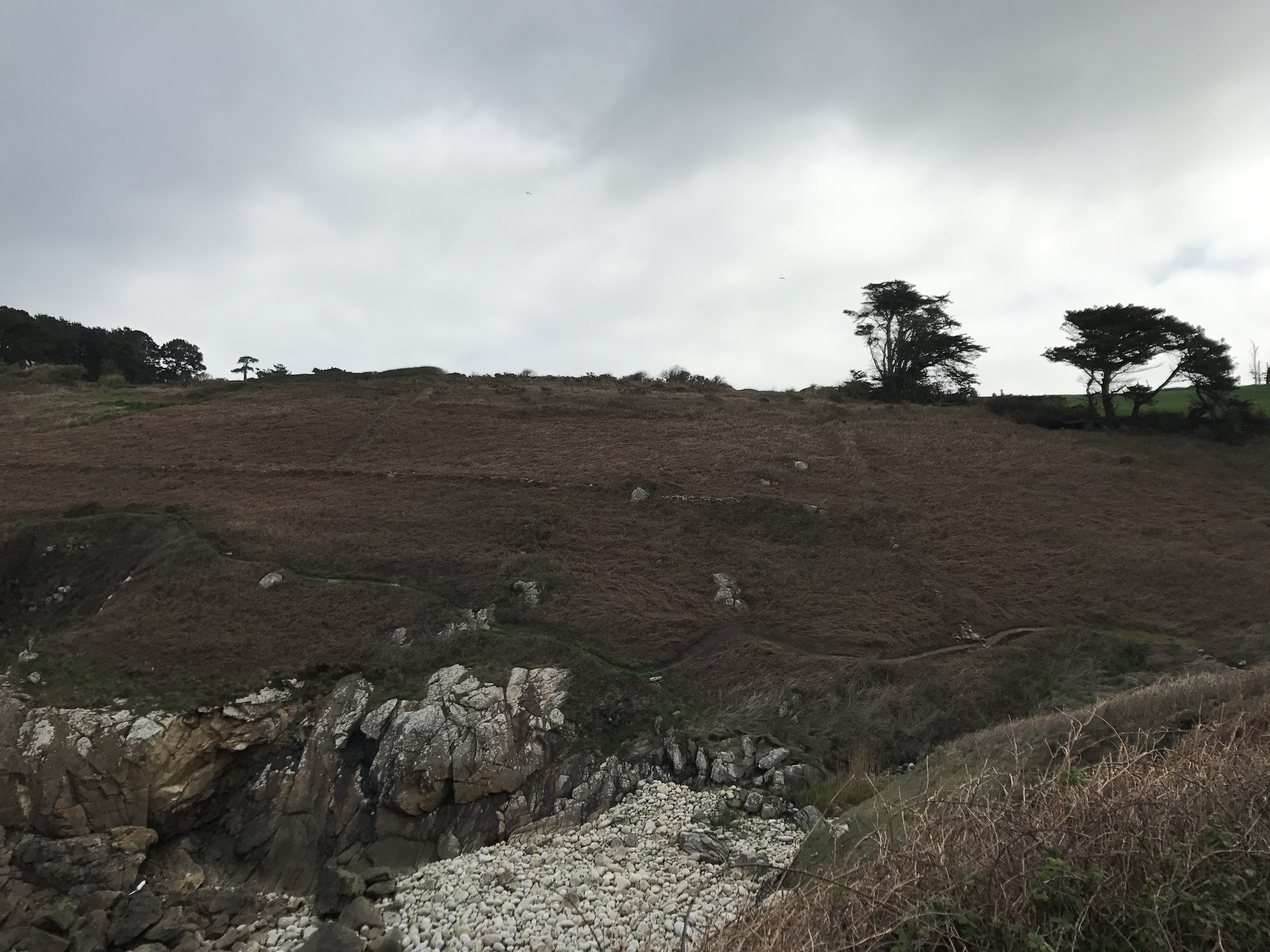
Otherwise, the day was much like the previous: up and down along the clifftops, gorse, and the remains of rock walls around fields.
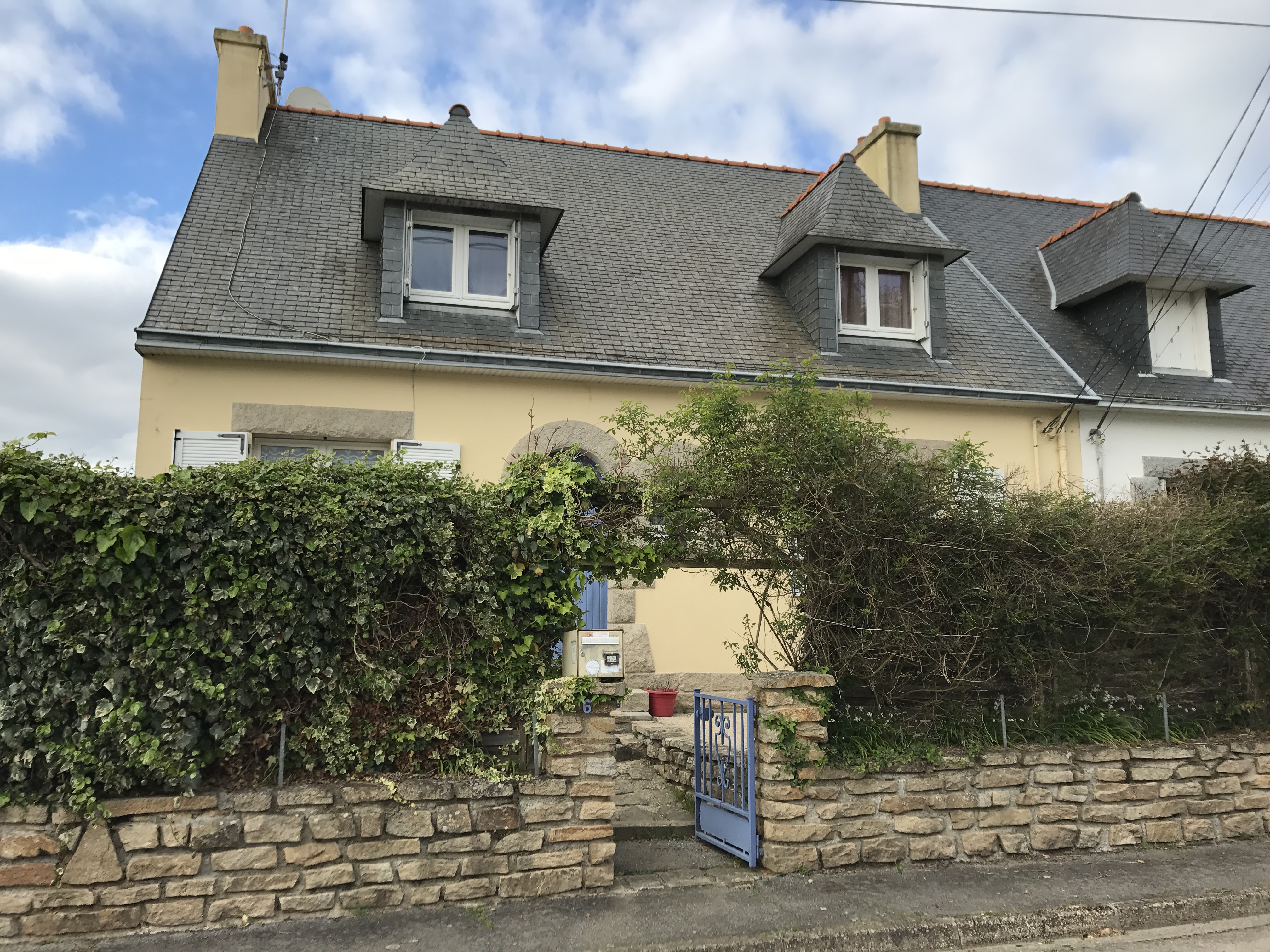
My destination was relatively close: Douarnenez, the largest town on this side of the peninsula. Even though it was a relatively short day, I was tired when I finally arrived: I hadn’t packed enough food, so had subsisted on fruit, nuts, and some bread. It would have been enough on a normal day back home, but my metabolism was already in high gear. I learned my lesson; this was my first and last undernourished day.
I stayed in Chambres d’hôtes du Golven, roughly equivalent to a small B&B (once I found it — Apple Maps led me to the wrong place again, and was banished to second-tier status for the rest of the walk). The owner insisted on doing my laundry when I asked about laundromats, so instead I went to the Crêperie du Quai in the main plaza and had a lovely meal of crêpes and a boule (small bowl) of cider.
Reaching Douarnenez felt like a milestone: It was the fourth day of walking (third “official” day of the long walk), and I’d made it from the tip of the peninsula to the base. I slept well that night.

-
I didn’t figure out at the time why it was closed; the sign didn’t give any explanation. The sign was dated March 7, though, and that lines up with Tempête Zeus (“Storm Zeus”!), which I would learn about later. ↩︎