pile.org
2017 E5 walk, day 4: Douarnenez to Lestrevet
48°5′47.1″N
48°10′27.1″N
Before leaving Douarnenez, I had a lovely breakfast at the chambres d’hôtes. I then stopped at the Boulangerie de l’Yser1 for a large loaf of bread and some pastries, and a little later stopped at the town market. There, I took a lesson from the previous day and stocked up on more food, sufficient for about three days, which I used as a model for the rest of the walk. For lunches, I got salami and cheese; for snacking, I got a couple apples and bananas, trail mix, and a chocolate bar. (The salami and cheese could also go into dried pasta I bought to cook for dinner when necessary.) I topped off this supply whenever I passed a market or grocery store, and never found myself undernourished again.
This day felt significantly different from the previous ones. Most importantly, the day was mostly flat — or at least it felt that way. The previous two days averaged the equivalent of 395 floors (climbed and descended) per day; this day counted only 221, and it felt like fewer.2
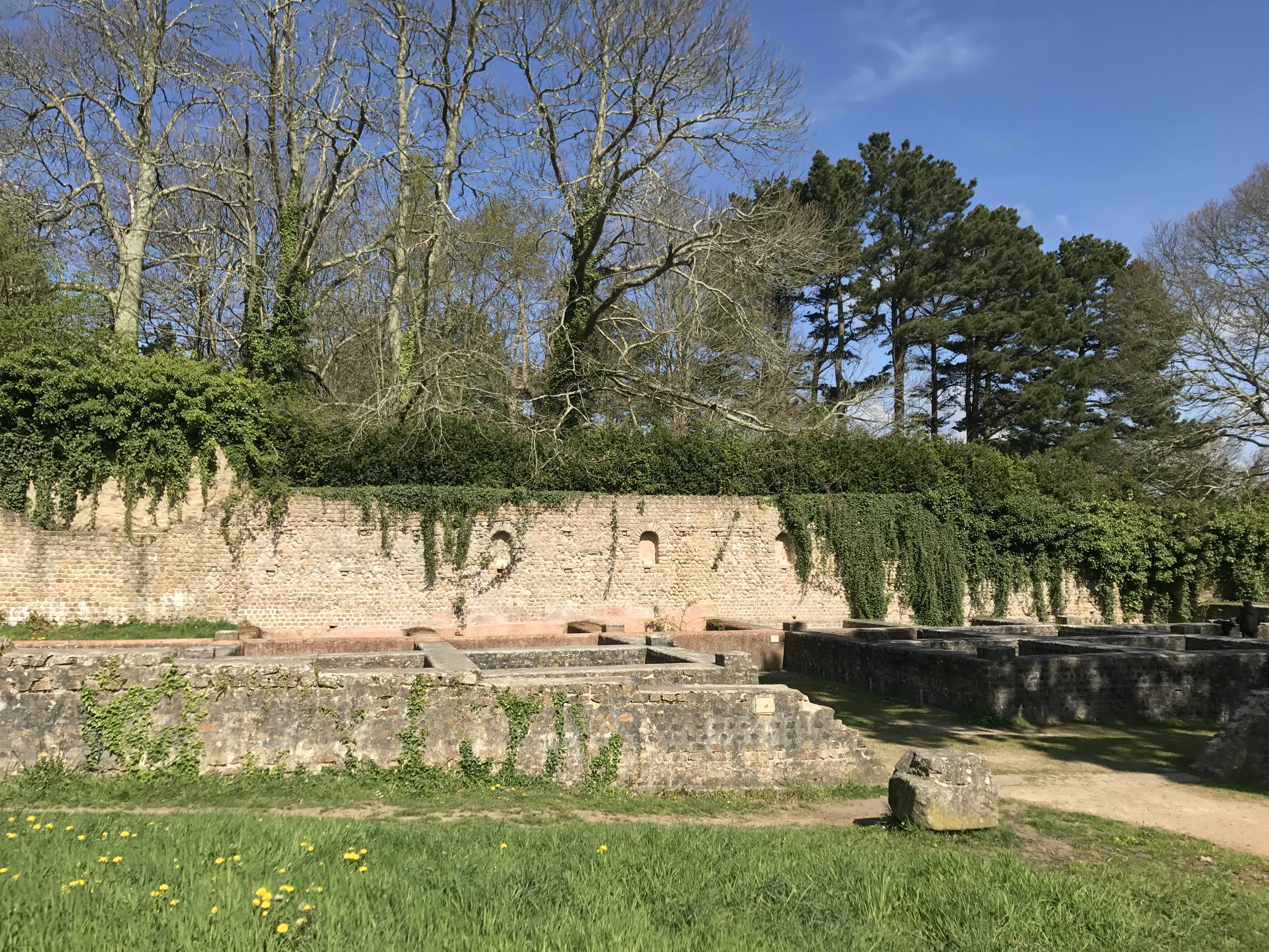
Immediately east of town, I came across the ruins of a Roman-era sardine processing factory, for making garum, so I stopped for a few minutes and looked around.
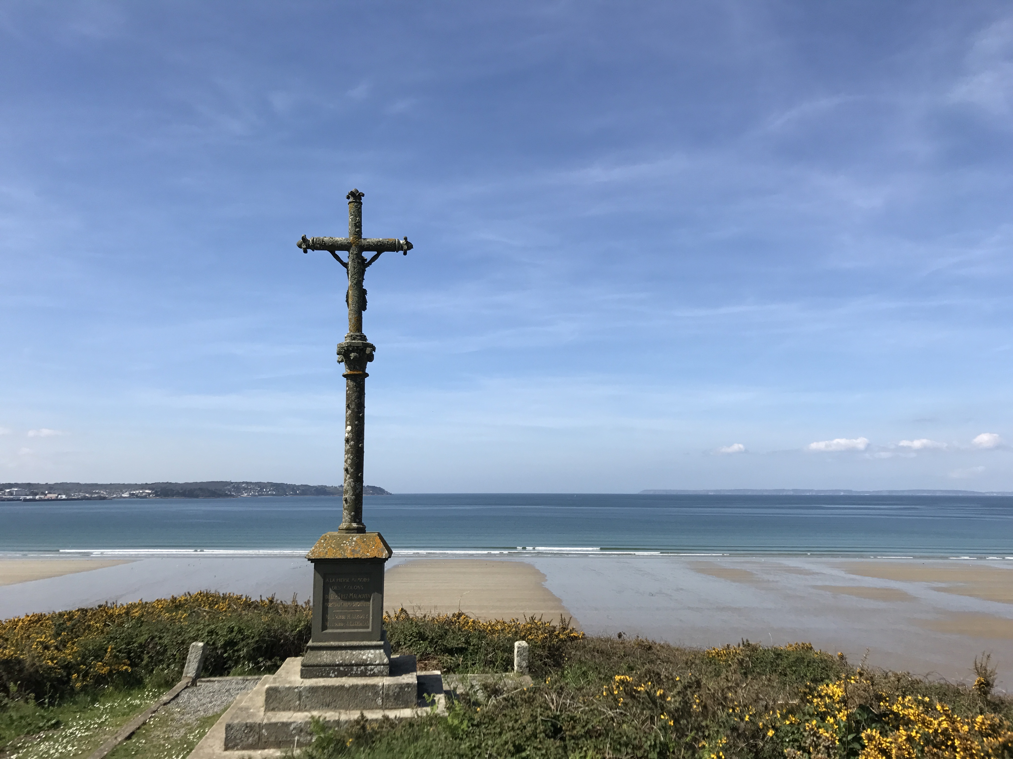
The coast and trail turned north, running along the end of the bay. I actually walked along sandy beaches for the first time (which made me a little anxious — I did not want sand in my shoes to make my new blisters any worse). I stopped for lunch near a calvaire (a calvary, an outdoor crucifix) on a short bluff above the sand.
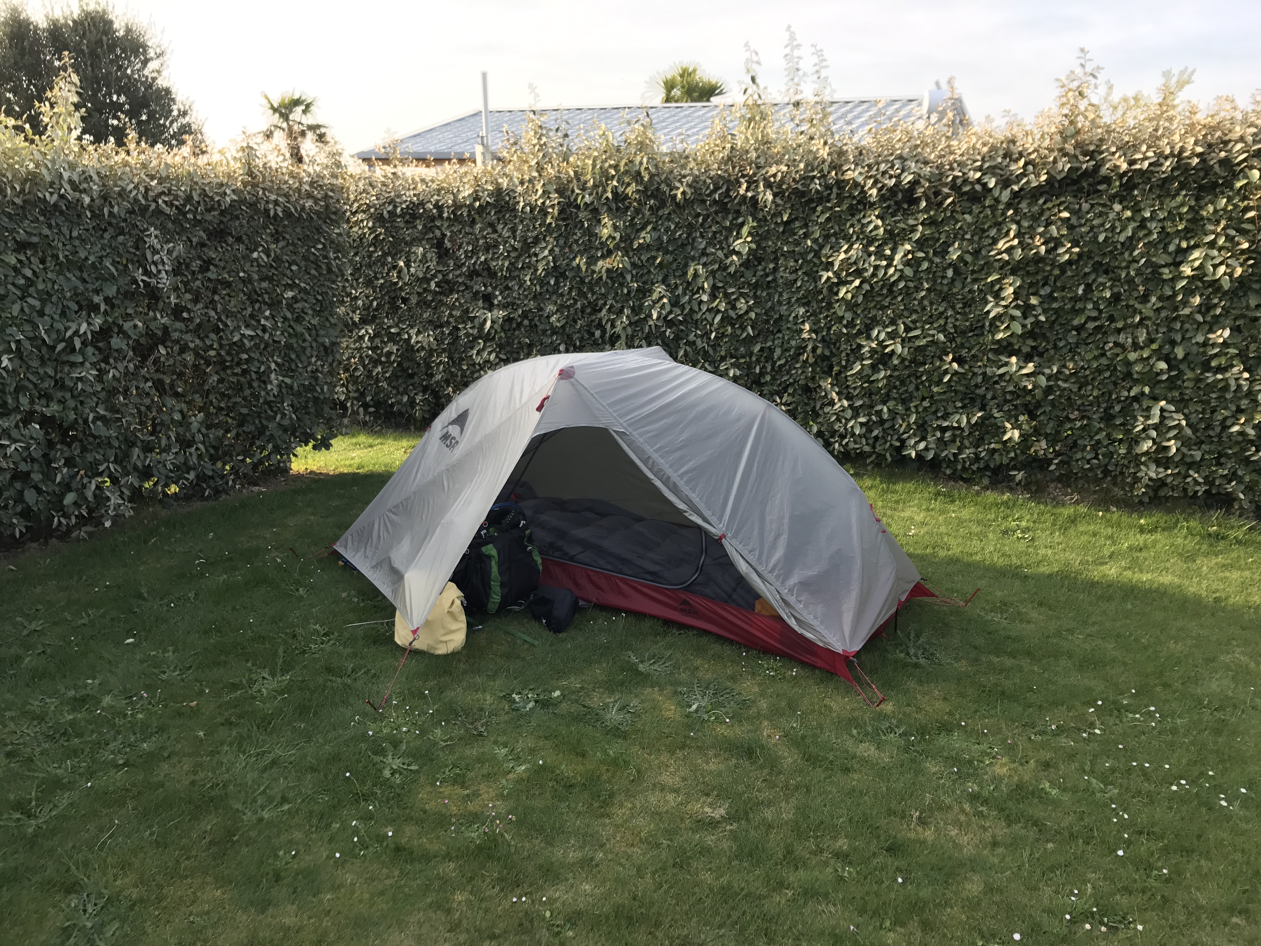
I stopped at a campsite called Ty Rouz, a few minutes uphill from the beach and trail. Like the campsite at Pors Peron, this was laid out with hedges, and drives for cars and trailers.
After setting up the tent, I walked back down the road to Le Grand Bleu, a little restaurant I’d seen on the way, and had a very pleasant dinner. My eating schedule was early even for an American, to say nothing of the French, so I was alone when I started eating. This was typical for my entire walk.
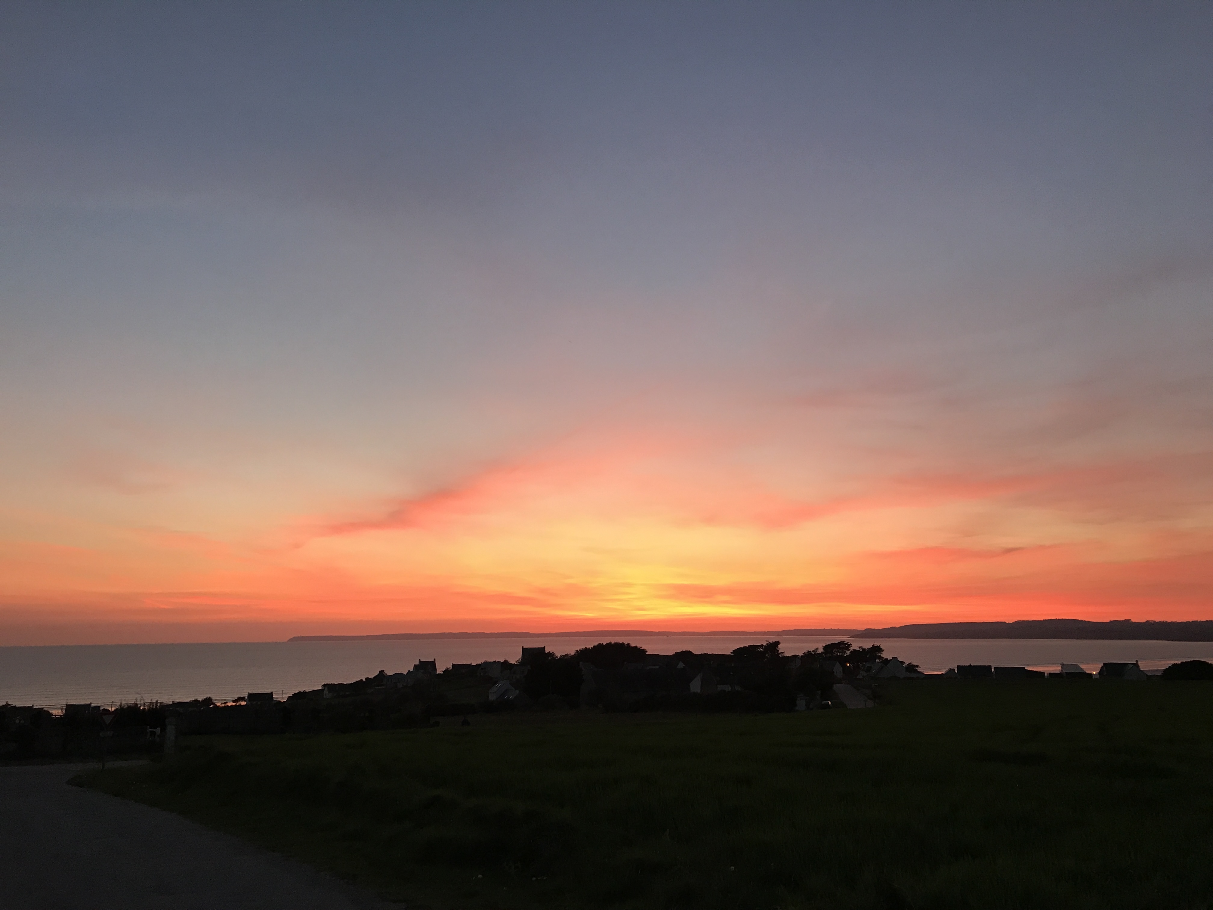
The sun was setting as I got back to my tent.

-
Local legend revolves around the lost island-city of Ys (pronounced “ees”), so local businesses often were named after it — most notably, the laundromat (laverie) named Laver’Ys. ↩︎
-
The way my phone measures climbing and descending seems to require something resembling actual flights of stairs; a gradual slope won’t count, no matter how many feet it ends up ascending or descending. ↩︎