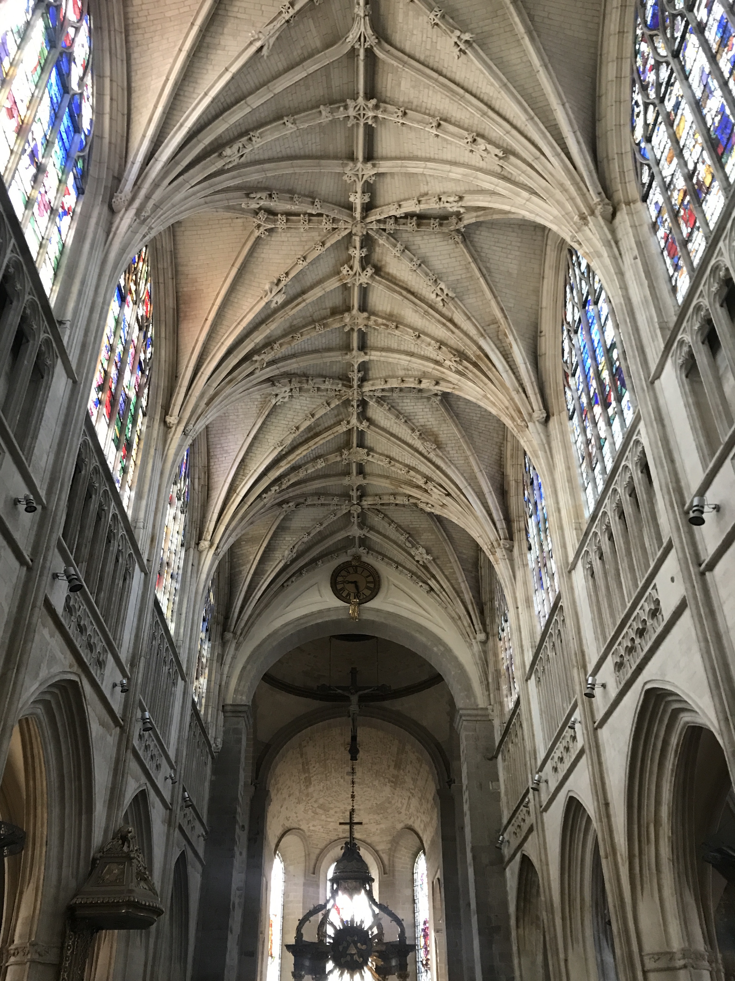
pile.org

2017 E5 walk, day 46: Alençon to Aillières-Beauvoir

Section 11, Day 46
Alençon
0°5′17.0″E
48°25′46.4″N
Aillières-Beauvoir
0°19′33.6″E
48°24′16.7″N
low 51 °F
high 73 °F
36,239 steps
13.1 miles

I headed back into Alençon’s shopping district to the wireless store, to buy a screen protector — Meghan convinced me that I really didn’t want to have to repair my screen a second time. Just like the Apple Store, it was identical to a wireless store in the United States, and I spent as little time in there as I could.

Inside a church, we’re looking up at the pale stone of the rib vault ceiling.  Down the length of the nave, at the top of the walls by the vault, light floods through stained glass windows, lighting everything but the side aisles.  The pulpit and the top of the ciborium are visible, but not the altar or the pews from this angle.
While I was waiting for the wireless store to open, I stuck my head in Notre Dame d’Alençon, the church with the amazing façade from a couple days previously.

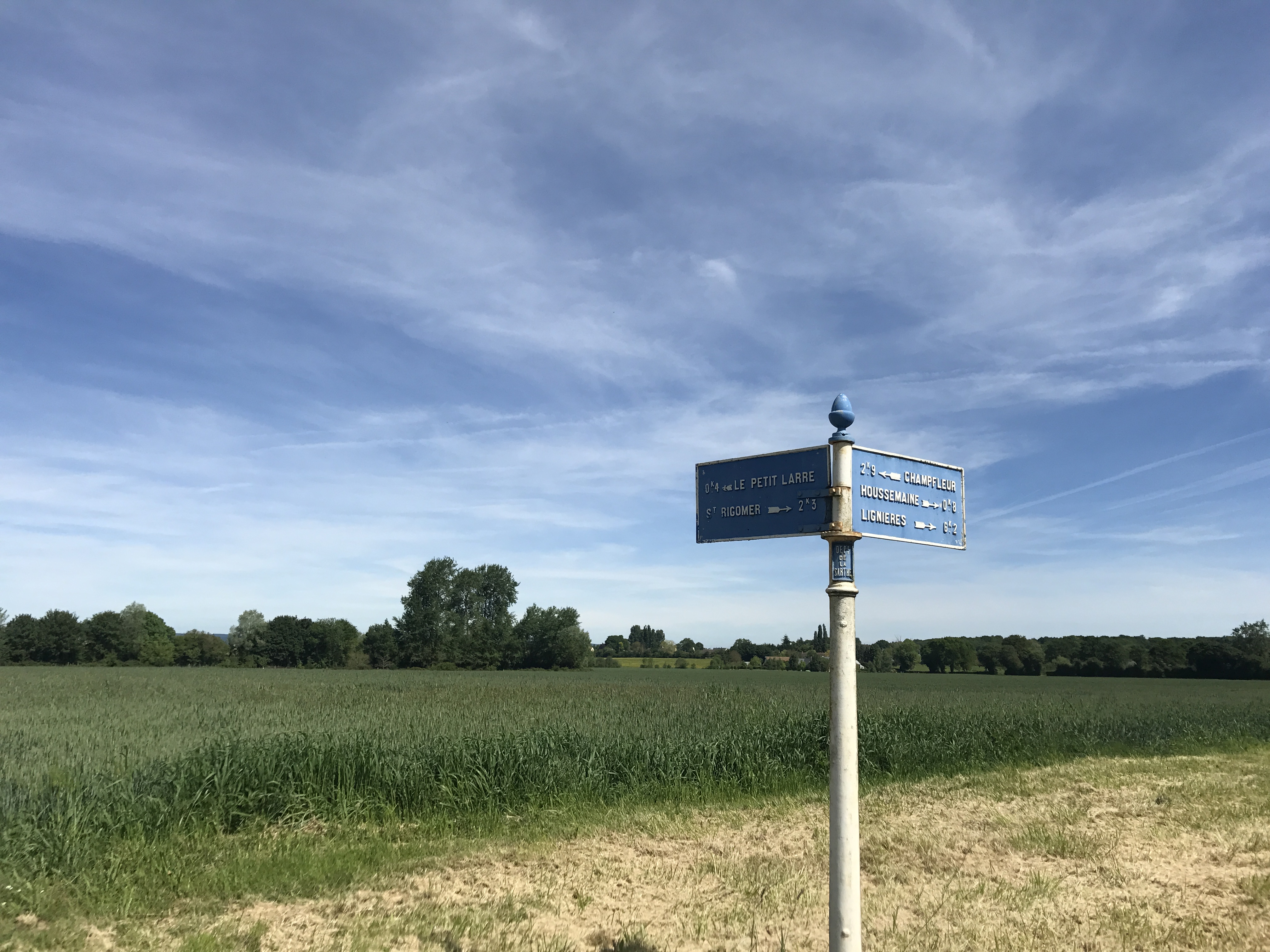
After that, I headed out; it was later than I wanted, but my day wasn’t going to be super-long. The trail started in the fields and farms outside Alençon, and soon I crossed out of Normandy and into the region of Pays-de-la-Loire (which I would leave for Normandy again the next day).

To the north is a metal pole with metal crossroad signs.  Behind it is cleared ground, and then a broad green field, bounded by rows of trees.  Pointing away to the left is “0.4k Le Petit Larre”, near to the right is “St. Rigomer 2.3k”, near to the left is “2.9k Champfleur”, and away to the right are “Houssemaine 0.8k” and “Lignieres 6.2k”.  (The typography is such that for 0.4k, the sign reads 0.4 with a superscript K above the decimal.)  The post has a small placard reading “Dept. de la Sarthe”.  The sky is blue with wispy clouds.
Not far outside Alençon, I saw this great old road sign. I was heading in the direction of Saint-Rigomer-des-Bois, though the trail skirted the village.

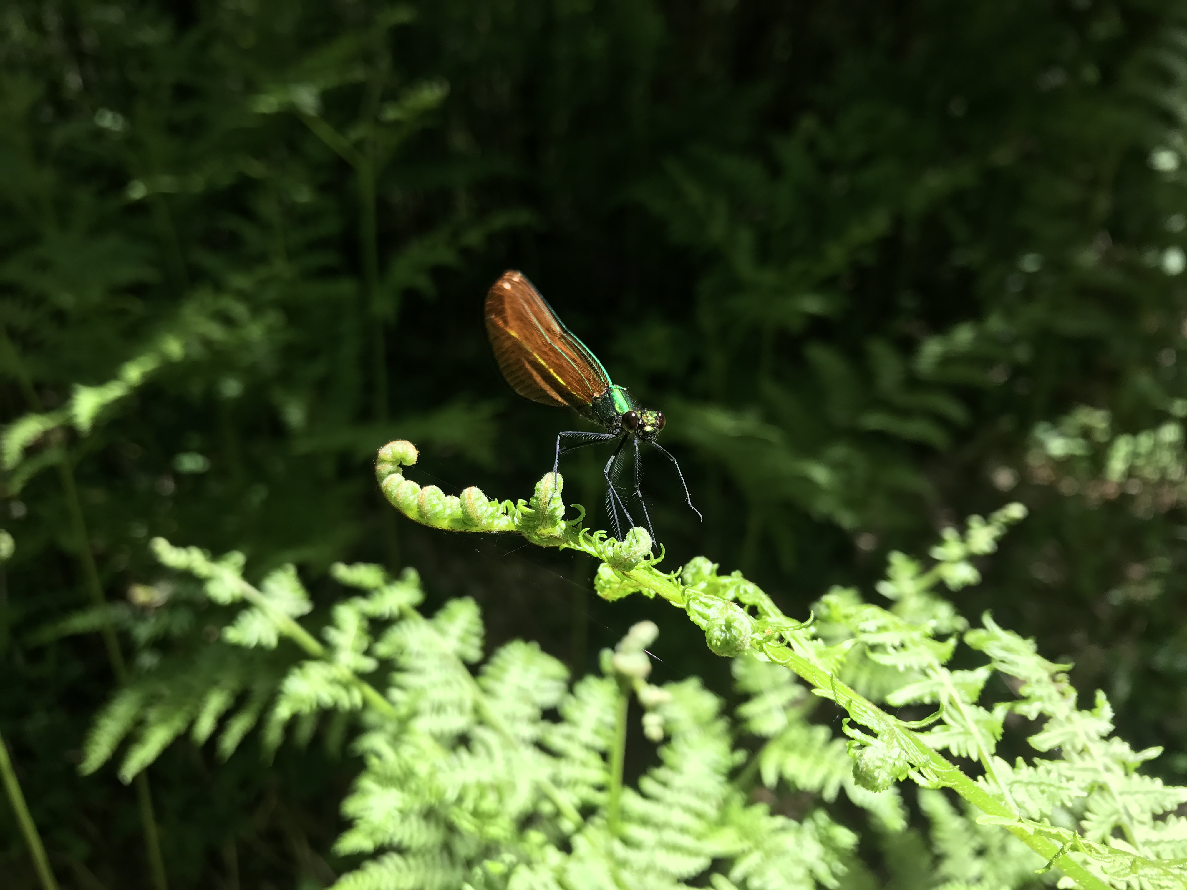
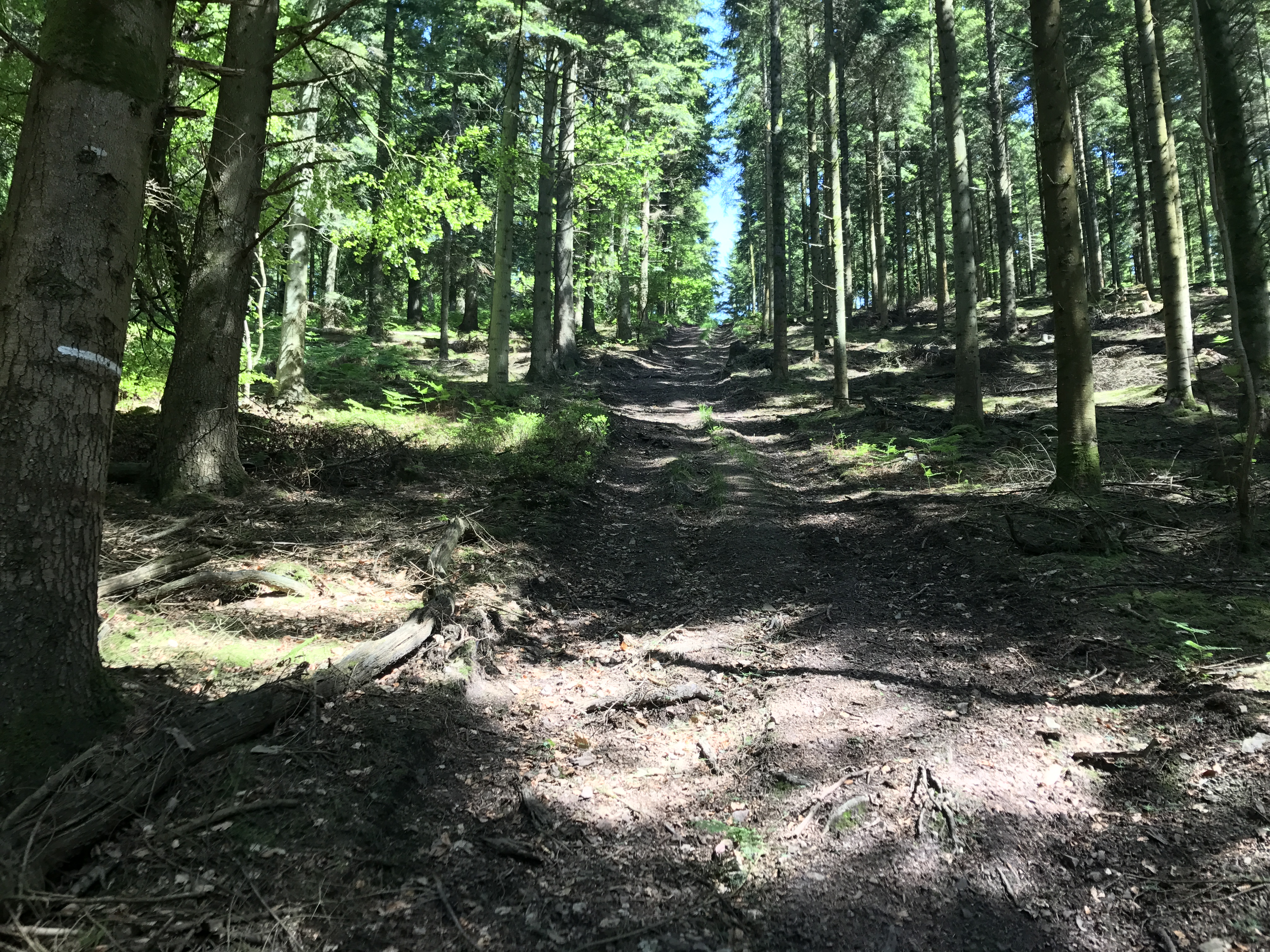
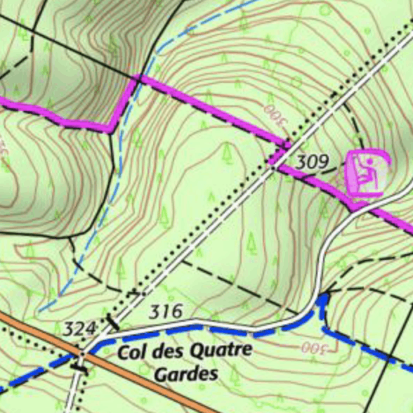
Soon after, I entered yet another forest, this one the Forêt Domaniale de Perseigne. I seem to recall this forest feeling a little lighter than those of previous days, perhaps as if it had been logged more recently.

Perched on a fern frond is a metallic-green insect, reminiscent of a dragonfly, with translucent coppery wings folded above its back.  Its round black eyes appear to be looking back at us; one leg is lifted up from its perch, but the others are firmly planted.
I was very pleased that this damselfly tolerated me approaching this closely.
A dirt trail runs uphill to the east-southeast, surrounded on both sides by evergreens.  The trees block the sky, but still let plenty of light through.
It’s not immediately obvious from this picture, but this was a very steep climb, and just before I needed to cross a log precariously stretched over a stream. See the contour lines on the map (just left of center at the top).

Minutes after leaving the forest, I entered the village of Aillières-Beauvoir, where I stayed at the Auberge de l’Oree du Bois (“Woodland Inn”, roughly), with a small restaurant on the ground floor and a handful of rooms above. The owner had traveled to the United States, though not anywhere I’d lived, and we compared notes as I ate a satisfying dinner.

Map of the day’s route.