pile.org
2017 E5 walk, day 47: Aillières-Beauvoir to la Bruyère
48°24′16.7″N
48°23′27.0″N
I had breakfast in the ground floor restaurant, and then hit the trail.
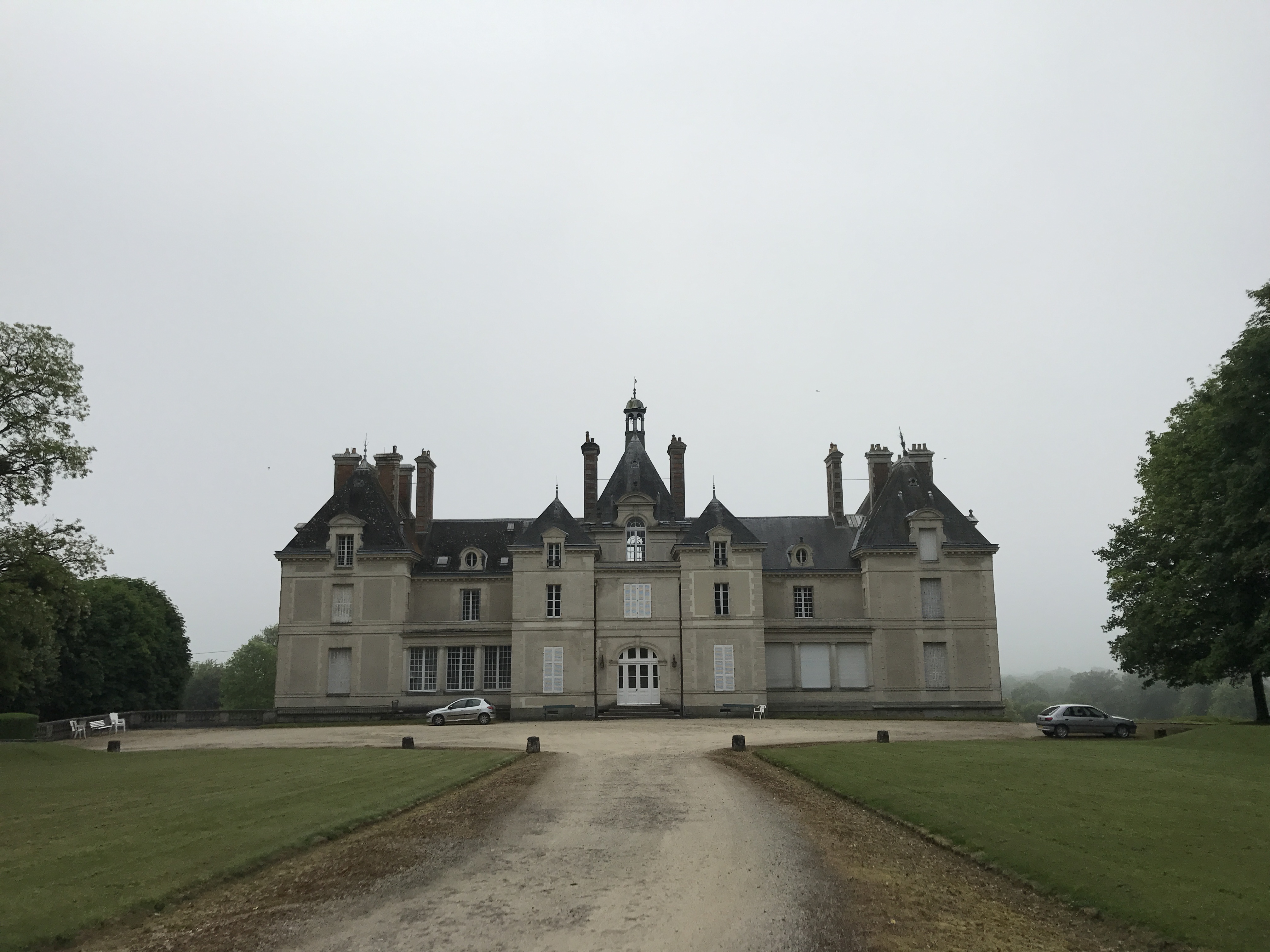
Through the early afternoon, the trail wandered through farmland.

Shortly before noon, the trail turned and followed a road up a steep bluff, to the ridiculously-charming village of Montgaudry, about 80 people perched on top of a rocky outcropping above the surrounding farms.
A little after noon, I reached the town of la Perrière, and stopped at le Relais d’Horbé for lunch on their patio. It was a lovely hour or so, and I enjoyed looking at their collection of coffee percolators, but when it came time to pay, I realized that I had lost my debit card. When I left the hotel in the morning, I had lazily put it in my regular pants pocket, rather than in my wallet in a zippered pocket. And somewhere between Aillières-Beauvoir and la Perrière, it had fallen out.
I had some cash, so I was able to pay my bill, but then had to decide what to do next. I dithered for a little bit, but eventually decided to give up on the card and continue onwards: I was very unlikely to find it, and it could have been a five or six hour delay to the walk, depending on where it was.1 I still wonder whether or not I made the right decision.
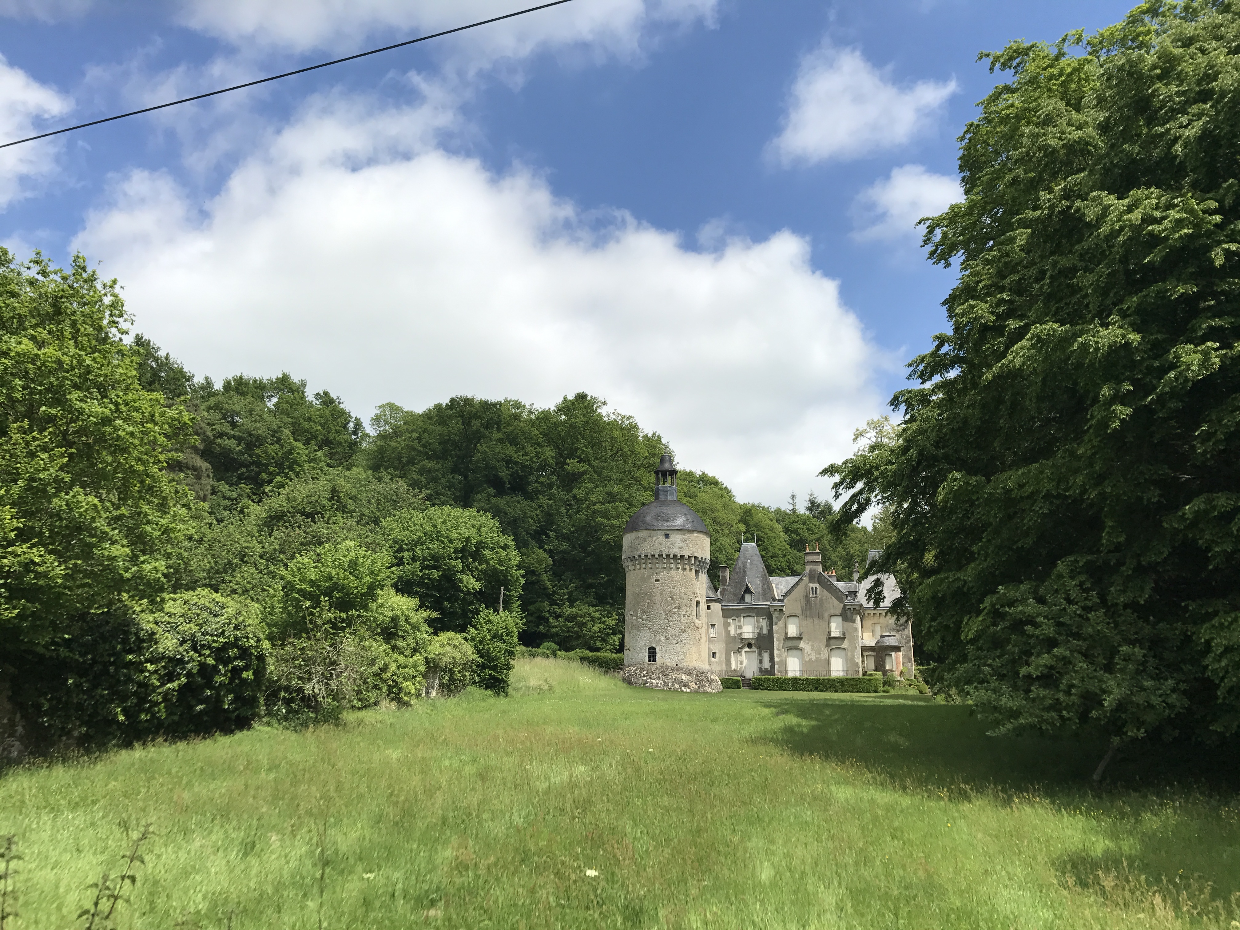
After la Perrière, the trail entered the day’s forest, the Forêt Domaniale de Bellême. I have no clear recollection of this forest, except that I left the trail and the forest near the village of la Bruyère to head down into the town of Bellême.
I camped at Camping du Perche Bellêmois, down past a residential neighborhood; I needed to wait a bit before the front desk opened. After setting up my tent, it was late enough in the morning on the West Coast to call my bank, cancel my card, and figure out what to do next. (In the end, I went without my card for the rest of the walk.) I headed into town to scout for the next day’s groceries and pastries; I suppose I ate dinner, but I can’t for the life of me recall where.

-
My best guess is that it was at a crossroads not far from the picture of the field, an hour or so outside of Aillières-Beauvoir — I had been rooting around in my pockets there for some reason or other. But of course it could have been basically anywhere. ↩︎