pile.org
2017 E5 walk, day 49: La Chapelle-Montligeon to Saint-Maurice-lès-Charencey
48°29′2.2″N
48°38′52.9″N
I stopped at Boulangerie Ludwig for pastries and a sandwich before leaving the village.
The map I was following had me heading north to the town of Tourouvre, at most four hours from la Chapelle-Montligeon, and then around the west side of the nearby forest. My plan the previous day had been to stay at one of the gîtes I’d identified in or just beyond Tourouvre, which was why I’d planned for that day to be short, but I’d only gotten in touch with one of them, and they were either full or closed (I don’t recall which). So I had no idea where I was actually going to stay for the night, and was just going to kind of wing it.
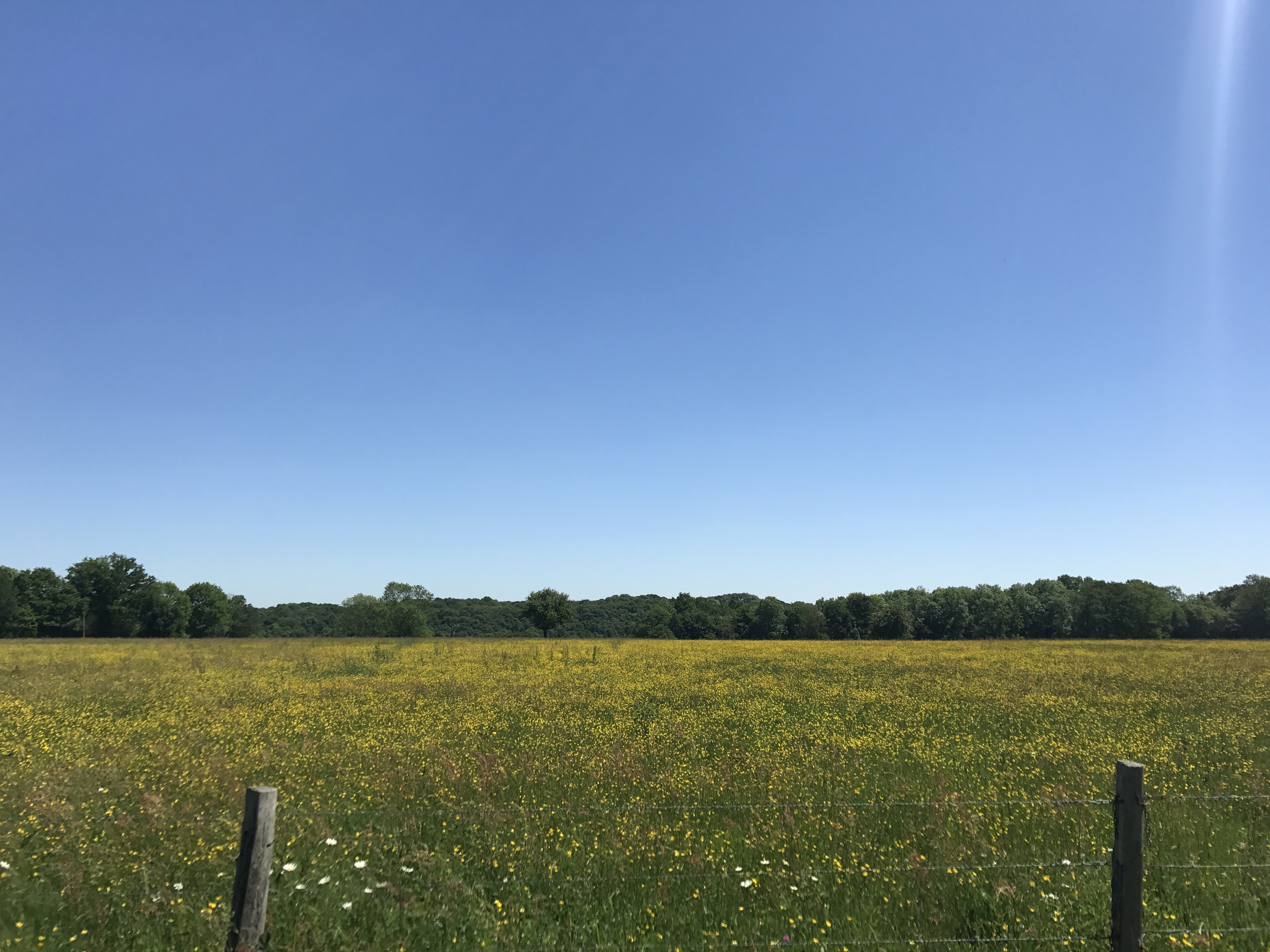
The trail started by skirting the western side of the Forêt Domaniale de Réno-Valdieu, perched on a highland; it alternated between following the base of the slope and climbing up into the forest, before cutting through to the east.
The trail zig-zagged north out of the forest towards the village of Autheuil.
In Autheuil, I was surprised to find that, contrary to my map, the trail turned east instead of continuing north to Tourouvre. But the trail markings were unambiguous, so I followed it east out of town, looped around briefly to the south, back north, and finally due east.
The map I was using didn’t have any designated hiking trail in this direction, not even a local PR trail, just footpaths and roads and the like. As I planned ahead, wondering where exactly I was heading1, I had to make an educated guess about exactly which routes the GR 22 would follow. It was kind of a fun game, if not precisely relaxing.
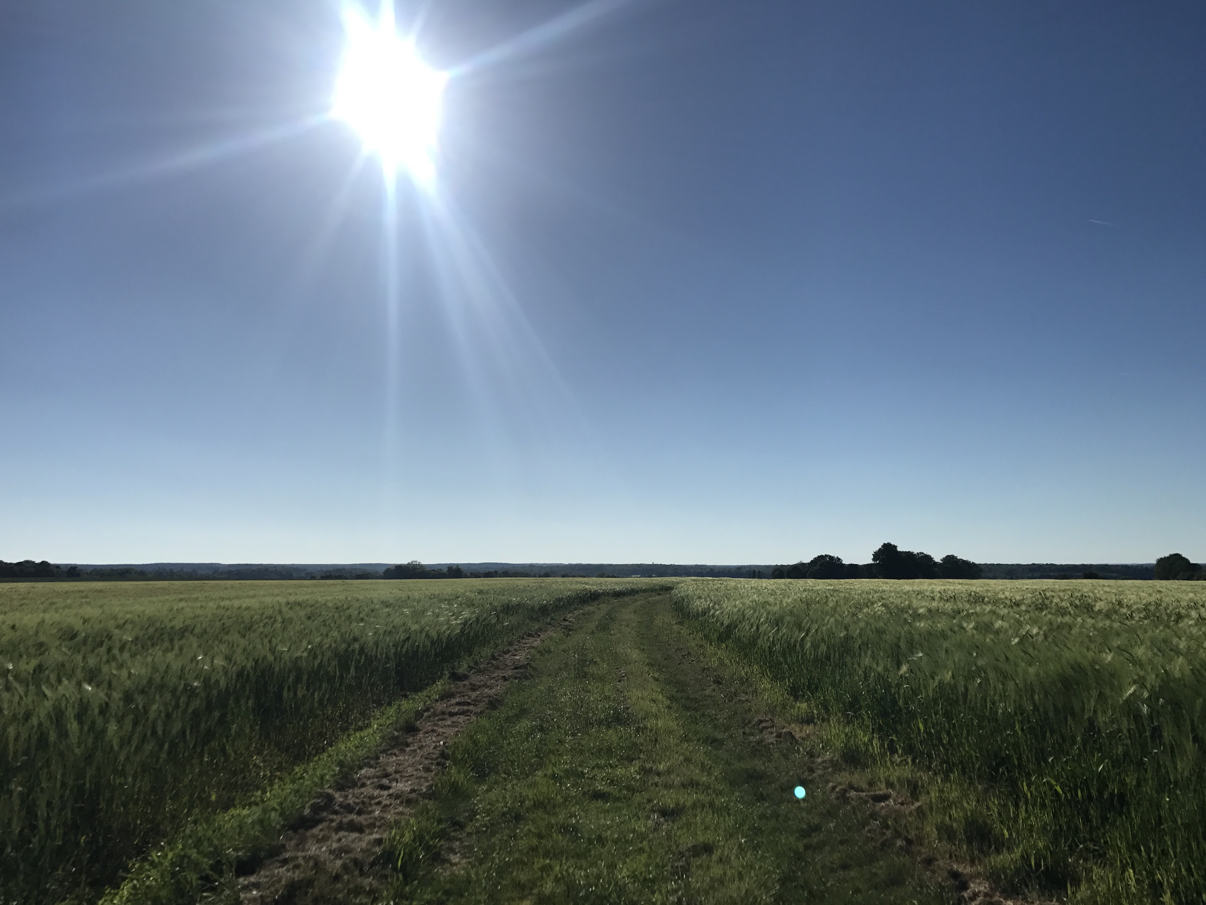
The day had gotten hot, but I didn’t know where my next stopping point would be, so I kept up a good pace. The trail turned northeast into the Bois de Charencey (“Charencey Woods”), at which point my water level started to get low, which concerned me. (Would I need to camp in the wild? If so, where would I be able to refill my water?) Shortly after the trail turned north to follow a forest road, I heard some activity out of sight down a dirt track, and figured I didn’t have anything to lose by seeing if they had some water.
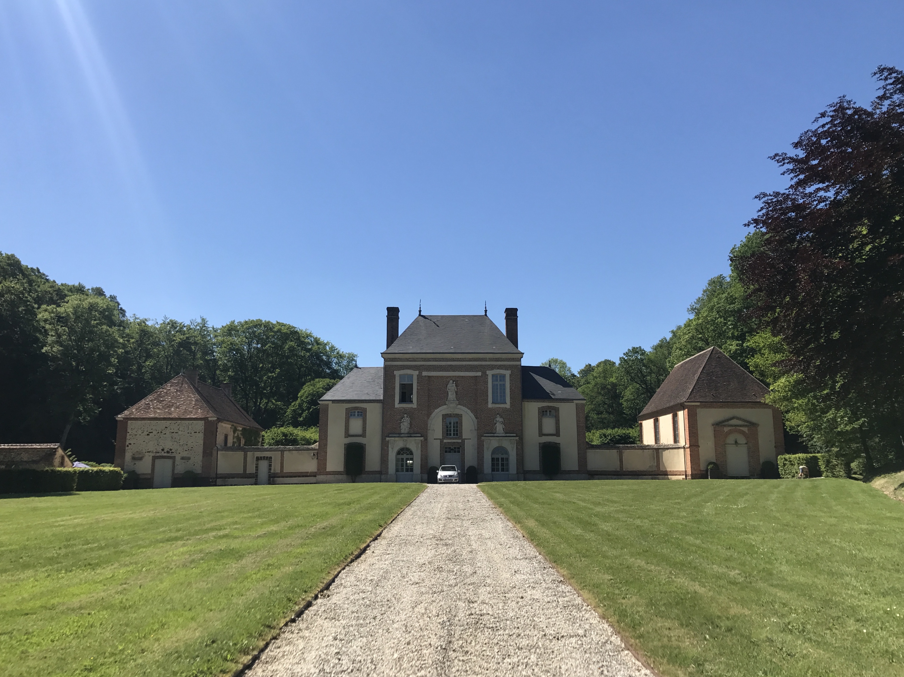
I ended up at a large house labelled “le Belloy” on the map, where a half dozen people were breaking down a pavilion, like there had recently been a wedding or similar gathering. “Could I please refill my hydration sack from your water faucet?” was outside the limited repertoire of pre-programmed French conversations I had built up over the past several weeks. Nevertheless, I eventually made myself understood, more or less. So they brought me a large bottle of Perrier, left over from whatever function had just ended. Not exactly what I was thinking of, but water was water, and I thanked them; they bemusedly watched as I poured the water into my hydration sack and headed back to the trail.2 Maybe a half hour later, as I continued north along the road, they drove past me, having presumably finished their teardown. Soon after, the trail turned away from the road, down an overgrown track, and out the north end of the forest.
By this point, I had decided that the trail was going to take me to or near the village of Saint-Maurice-lès-Charencey, not far from where I had previously expected the trail to run. I was correct, and this route had shaved a day or so off my walk.3 Right on the trail was the town’s campsite, Camperie de la Poste (“Post Office Camping”), right behind the post office as its name suggests. I gratefully stopped, set up my tent in one of the spaces near the entrance, and greeted some of the other campers.
I strolled along the main road that the village stretched along, scouting the next morning’s resupply. (It was actually slightly unpleasant to walk along — the road was narrow but fairly busy, and there was no gap between the sidewalk and the road.) Dinner was pizza and an Orangina from the Tic-Tac food truck, and I slept soundly, with just a weird dream about loud cars that half-woke me.

-
Instead of heading roughly east, as the trail took me this day, my map’s route would have taken me on a loop around west and north before eventually heading east. I doubted the GR 22 was going to be completely changed, so my best guess was that this route was eventually going to turn north and merge back onto my expected route … somewhere. ↩︎
-
My water tasted vaguely minerally for the next several days. ↩︎
-
This, by the way, is part of the reason I didn’t plan my stops very far ahead: I didn’t know exactly how far I would be able to get on any given day (though I had a pretty good sense by this point), and I was never certain (ever since the trail went an unexpected way early in the walk) that I knew exactly where I was going. ↩︎