pile.org

2017 E5 walk, day 52: Verneuil-sur-Avre to les Caves

Section 12, Day 52
Verneuil-sur-Avre
0°55′46.1″E
48°44′4.1″N
St-Remy-sur-Avre
1°12′57.0″E
48°45′19.0″N
low 62 °F
high 79 °F
54,982 steps
20.5 miles

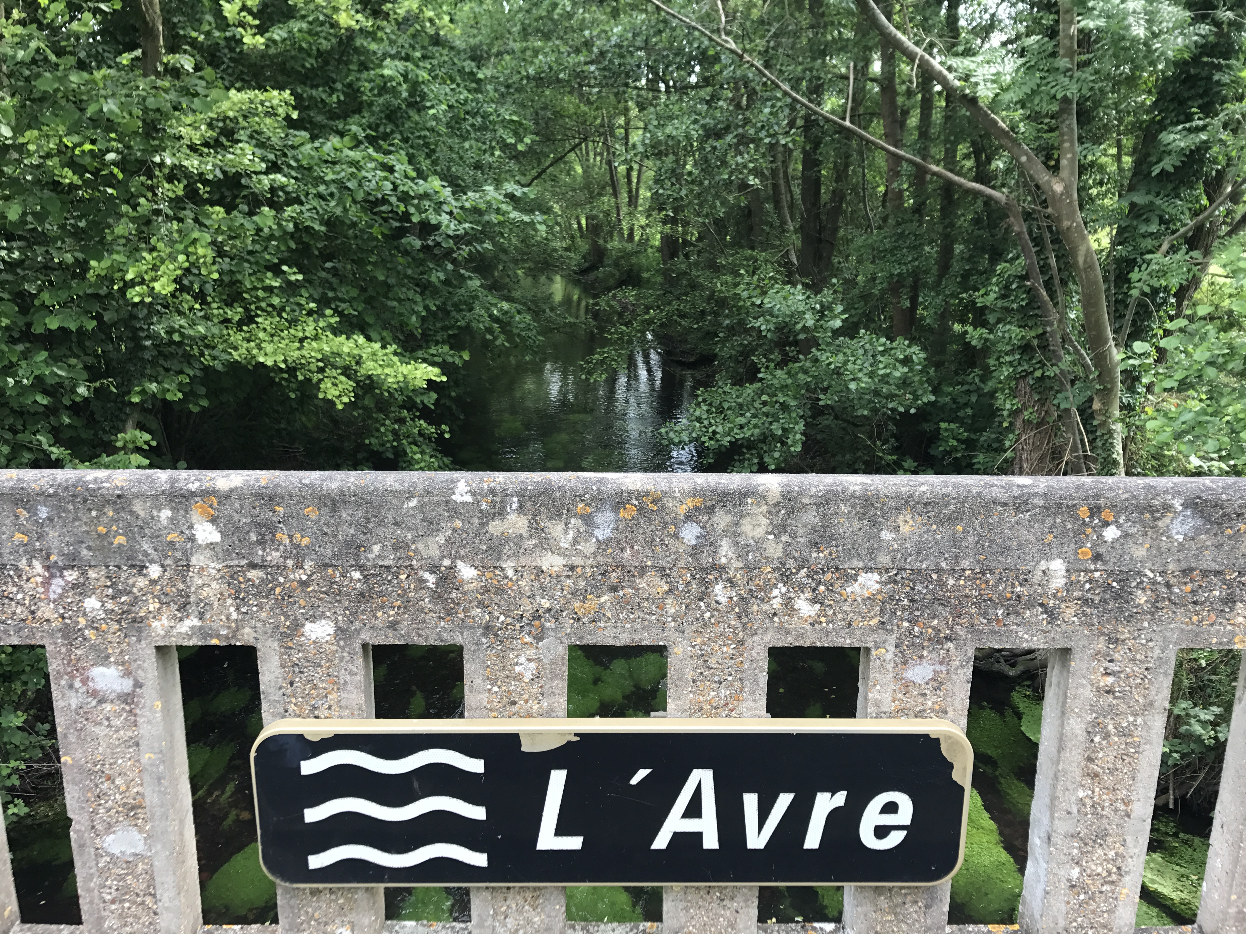
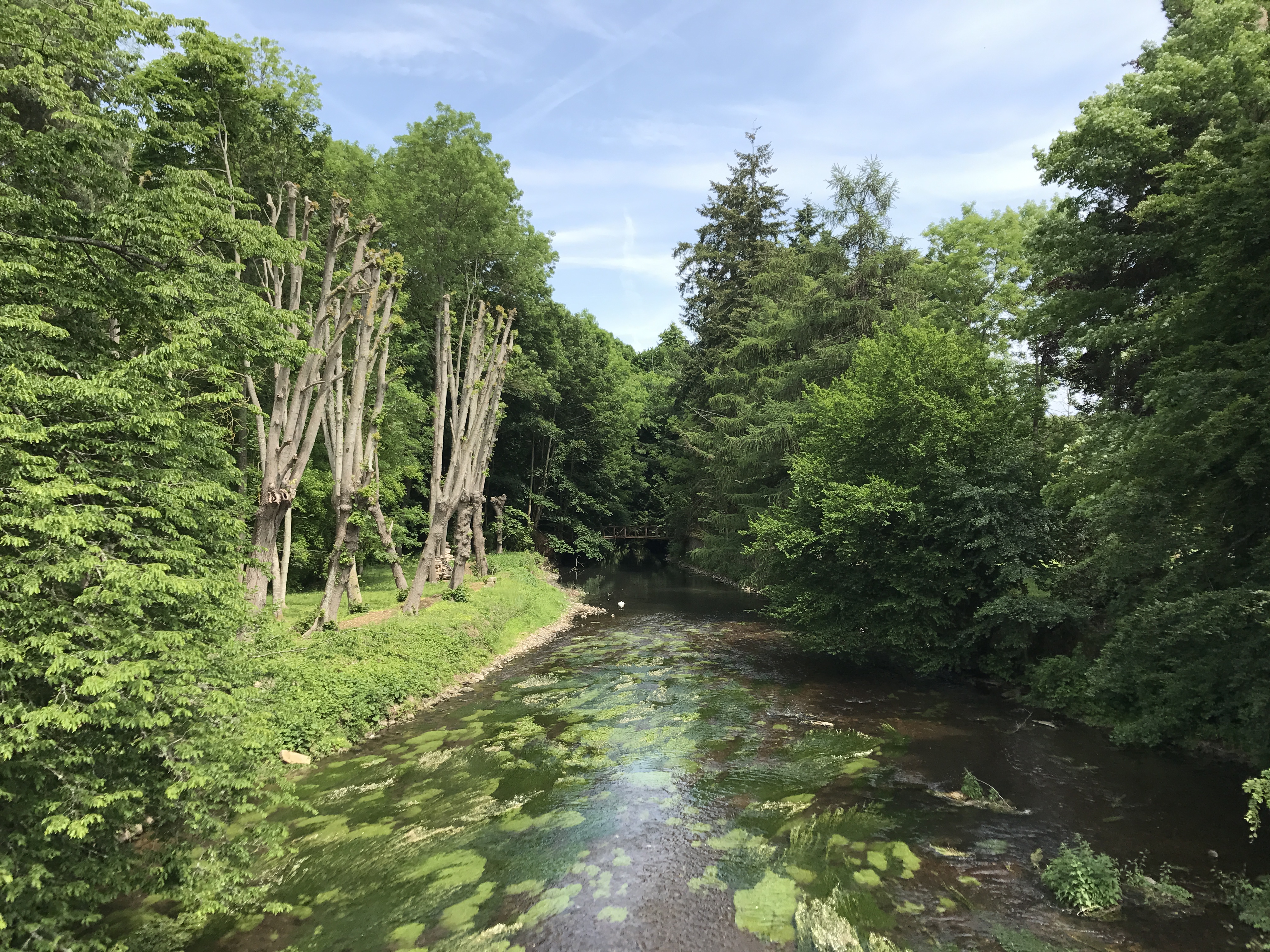
For whatever reason, I dithered getting out of town in the morning, but finally managed to leave by 11 AM. The trail followed the Avre downstream, crossing back and forth over the river multiple times.

In the foreground is a concrete guardrail with a black sign across the vertical bars, reading “L’Avre” with three wavy lines to the left, suggestive of flowing water.  To the east below is a small river.  The near parts of the river, through the rail, have some sort of green plant growing underwater; trees reach over it, forming a tunnel for the entire visible length.
One of several crossings of the Avre this day.

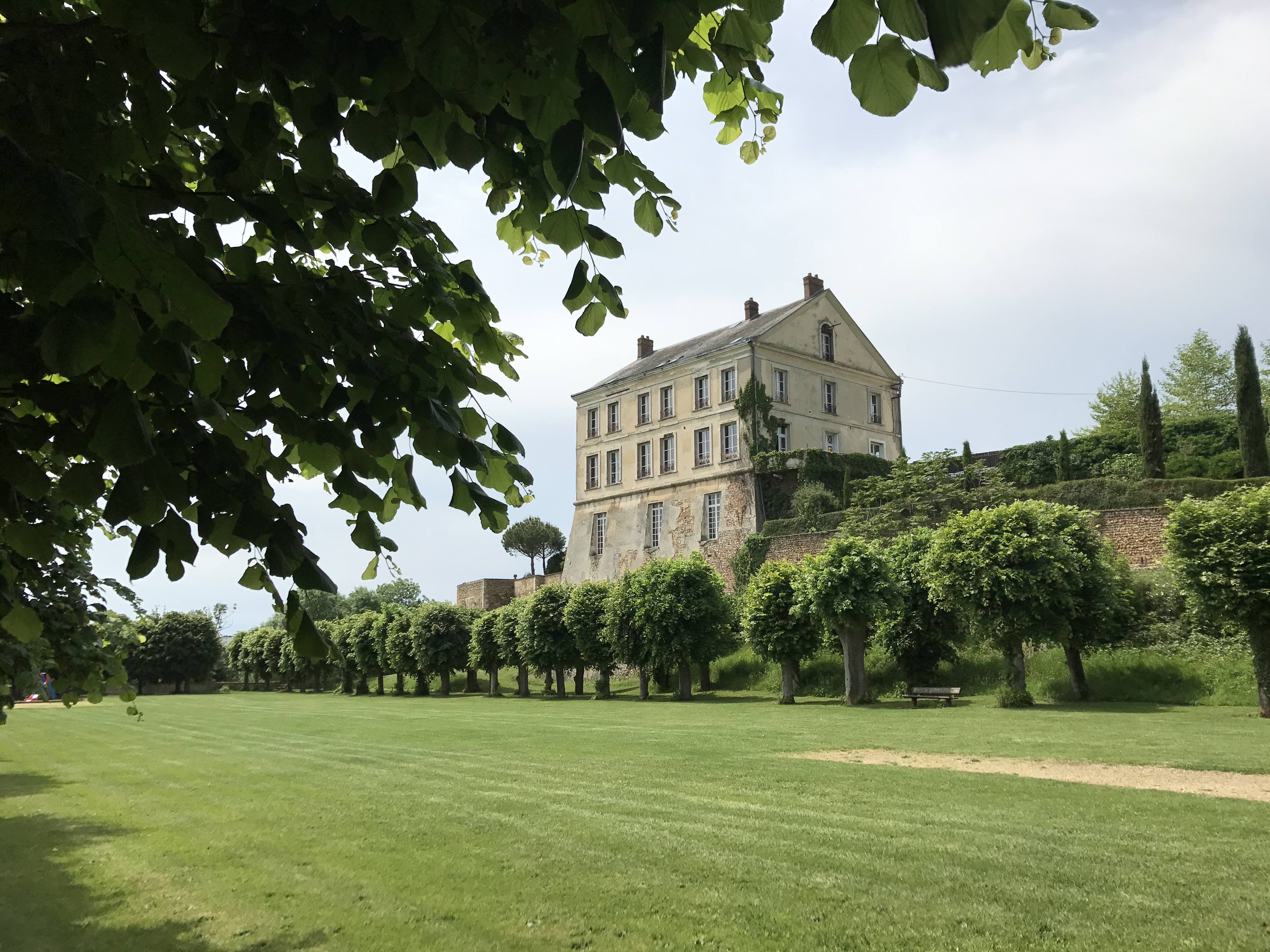
The trail headed briefly north into Tillières-sur-Avre (though the current route of the trail no longer does).

A rectangular green lawn stretches the long way from the foreground to the left of the photo.  Across the short way, the lawn ends in a neat row of trees, with a bench in the shade of one; behind the trees is a long brick wall.  To the west-southwest, in the center of the photo, a large stone house sits atop the wall, seeming to grow up out of it.  It looks fairly ordinary, but its position atop the wall makes it the highest thing around.  In the very close foreground, a tree’s leaves hang down into the upper left corner of the photo.  The sky is a hazy blue.
The trail passed through the grounds of the Château de Tillières-sur-Avre.
A river runs below to the northeast, green growth underwater showing the current.  Trees grow close on the banks except for one stretch on the west, where they are just tall, bare trunks.  In the distance, the river narrows and the trees grow closer together; under them, there might be a wooden bridge.  The sky above is thinly clouded.
Leaving Tillières, I crossed the Avre yet again, I believe for the seventh time that day (no exaggeration).

It was another hot day, and having left Verneuil late in the morning, I found myself walking without shade in the mid-afternoon heat.

At the corner of two paved roads to the southeast, a signpost stands at the edge of a field.  From top to bottom, there is a yellow sign reading “D 313¹¹”, above a white arrow sign pointing left and reading “5 — St Lubin des Joncherets”; then a yellow sign reading “D 313¹⁵”, above two white arrow signs pointing right, reading “Le Plessis s/ Dampierre — 1” and “Dampierre s/ Avre — 1.8”.  The field behind the sign looks recently mown; it rises up gradually to a wooded hill in the distance.  The sky is blue with a few lazy contrails and, to the right, some white clouds.
After two more Avre crossings, I passed this crossroads. Nothing especially notable about it, but this kind of captures the feel of the day.

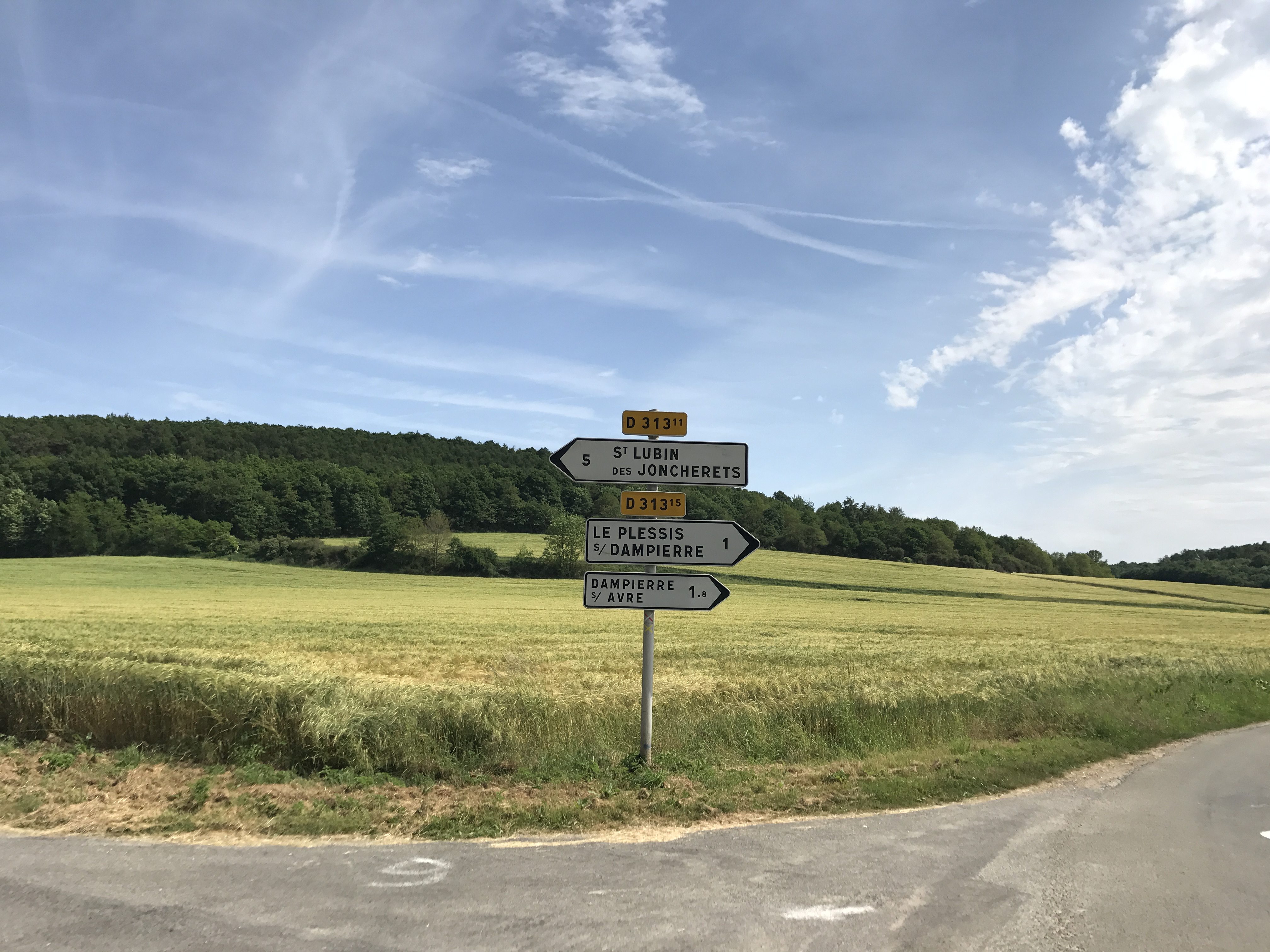
Passing Dampierre-sur-Avre, I started to get a little concerned again about having enough water. I took a brief detour up from the trail to the town hall, but it was closed and there were no apparent outdoor faucets I could take water from. I decided to cut off one loop to the other side of the Avre (two crossings) to walk past a cemetery that was shown on the map, to see if I could get some water. After staring at the cemetery’s faucet and waffling a bit, though, I decided I wasn’t certain about its potability, so forged on ahead without refilling.

(This turned out fine, because I soon reached the town of Saint-Lubin-des-Joncherets, where I stopped in a grocery store for a bottle of cold water — far better than the lukewarm stuff I would have gotten from the cemetery.)

The trail headed up out of town, and at the village of les Caves, I left the trail and headed down a road to the town of Saint-Rémy-sur-Avre. The road was actually uncomfortable to walk, because it had little discernible shoulder (a steep slope on one side and the Avre on the other), and I frequently had to stop for cars driving by.

I stayed in the town’s municipal campground, Camping du Pré de l’Église, on a small island in the Avre. It wasn’t full, but there were several families staying there.

A white stone church stands to the east, topped by a tall, dark grey steeple which looks entirely out-of-place.  Stairs lead up to the front door, above which is a carving reminiscent of a ciborium, with a small clock above.  Behind the church to either side are buildings, and parked cars indicate roads that we can’t quite see.  A small tree grows to the right of the church; the sky is overcast.
Église Saint-Rémy. This distinctive style of church steeple was common in the area.

Dinner was döner kebab at Istanbul Kebab “Chez Abi”, one of the few places open (the town felt weirdly quiet, though maybe that was just because it was a Monday evening); it seemed to be a family-run business, based on the preschooler using a tablet behind the front counter. After dinner, I enjoyed a quiet stroll back to the campsite.

Map of the day’s route.