pile.org
2017 E5 walk, day 17: Beau Rivage to Mûr-de-Bretagne
48°12′38.8″N
48°12′14.7″N
Though the step count doesn’t show it1, this was a relatively short day of travel.
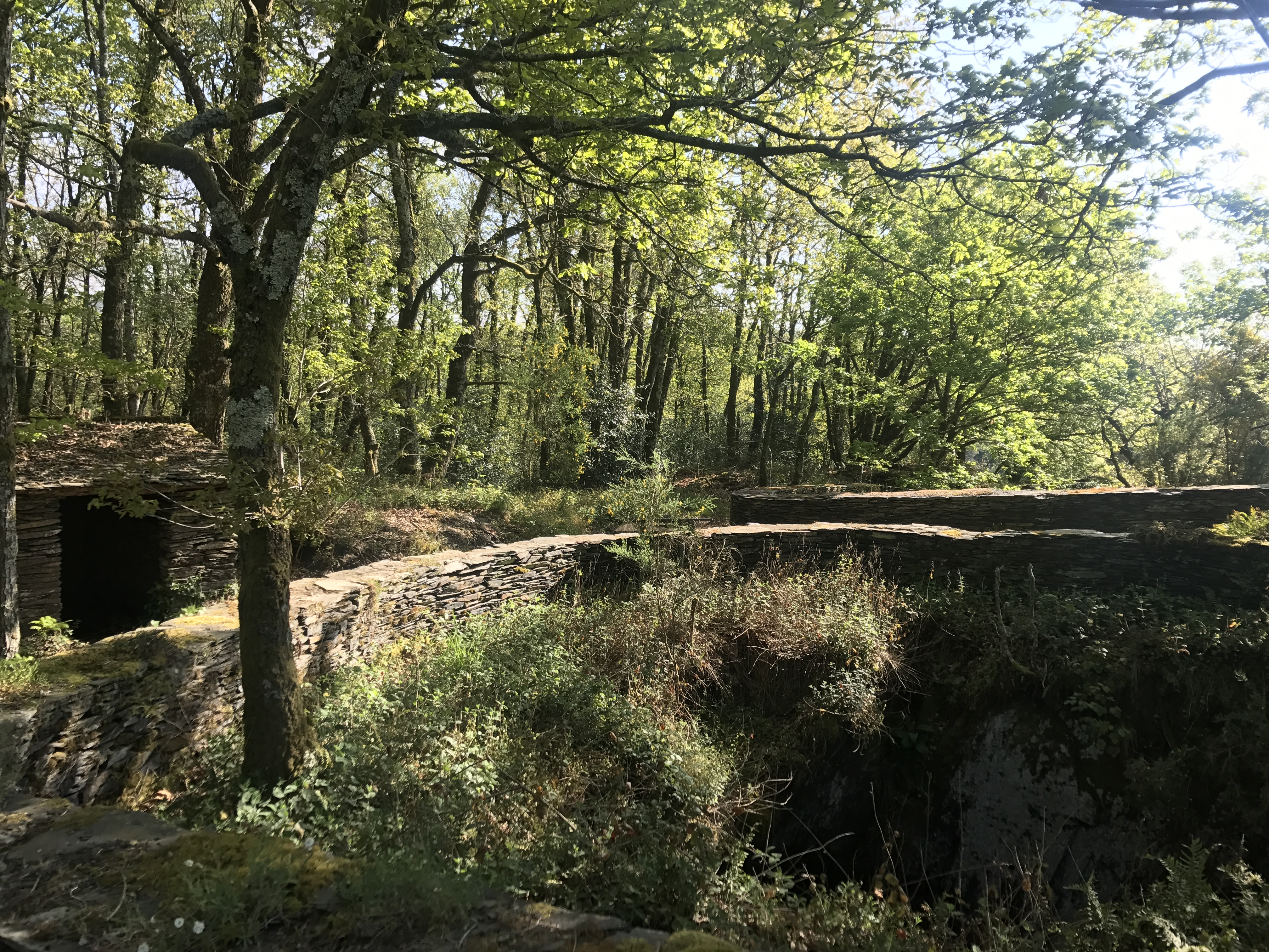
The first bit of the trail took me through a cute little valley. Then it was on to some more of the rugged terrain around the Lac de Guerlédan. I did get to see several more of the amazing slate mines.
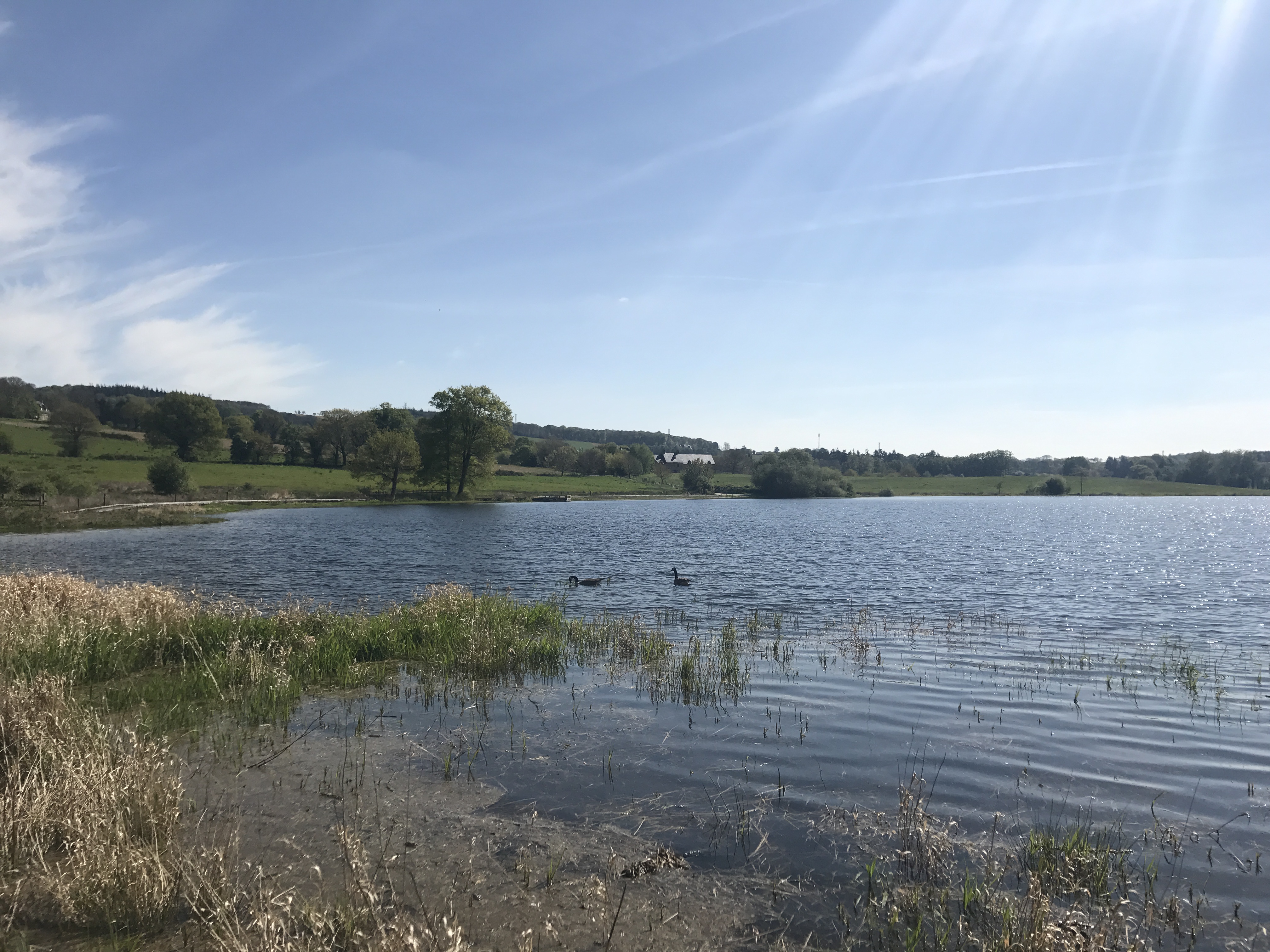
The trail then descended to loop around the northern arm of the lake, which took me through some pleasant wetlands.
The GR 341’s route was a little ambiguous here2; one branch of it continued south and west around the shore of the lake, but my branch wound to the east, so I followed that towards the town of Mûr-de-Bretagne, and then back west to the shore of the lake to my campsite, Camping Le Point de Vue de Guerlédan. (This was next door to what seemed to be an athletic school of some sort.)
I ate dinner back in Mûr-de-Bretagne (about a half hour each way, which accounted for a significant amount of the day’s walking), at a gyro place called Guerlédan Kebab.

-
The step count shows total steps taken in the day, on- or off-trail. Some days, I barely veered from the trail at all; others, like this, I walked much further. ↩︎
-
Signage on the GR 341 wasn’t bad, but it was sometimes less rigorous than on the GR 37, and certainly less than the GR 34 along the coast. ↩︎