pile.org
2017 E5 walk, day 13: Kroas ar Breton to Carhaix-Plouguer
48°18′24.4″N
48°14′43.2″N
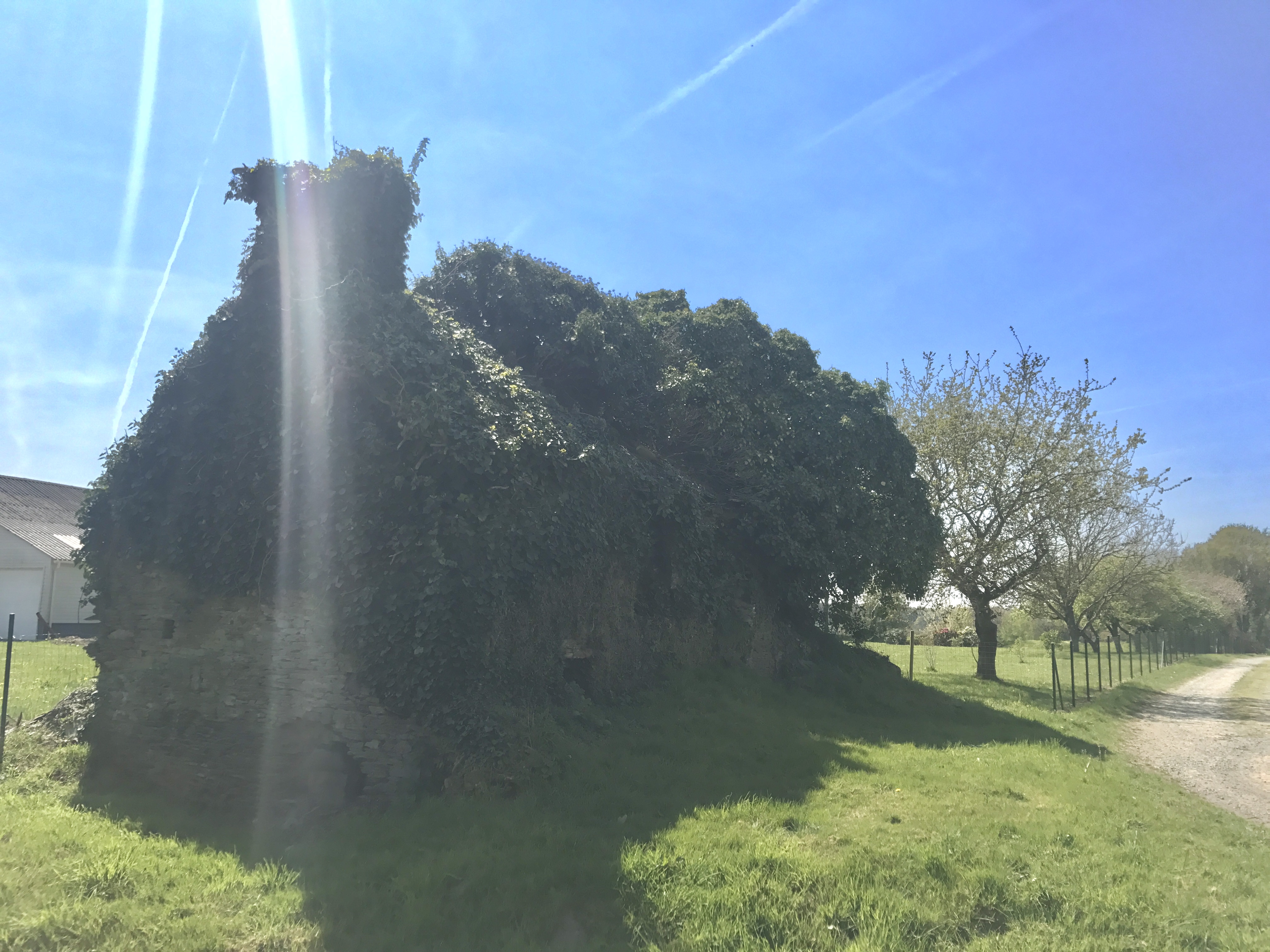
I headed back down from Plouyé to Kroas ar Breton, and then further downhill back to the Aulne. I was followed partway by a very friendly young dog, but eventually convinced it to head back towards home.
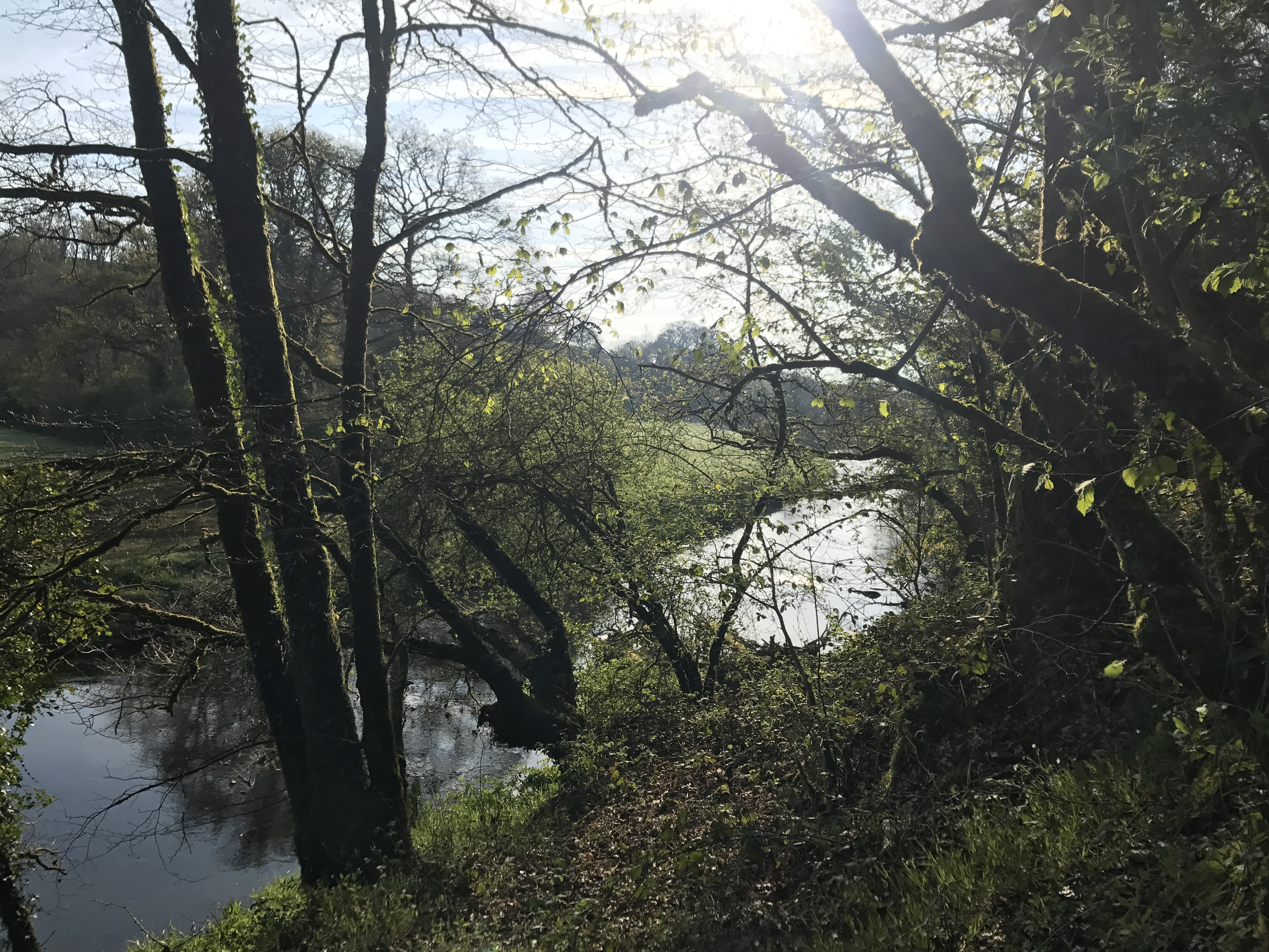
The trail veered towards and away from the river, eventually crossing it at Pénity Saint-Laurent, and winding south towards the town of Cléden-Poher.
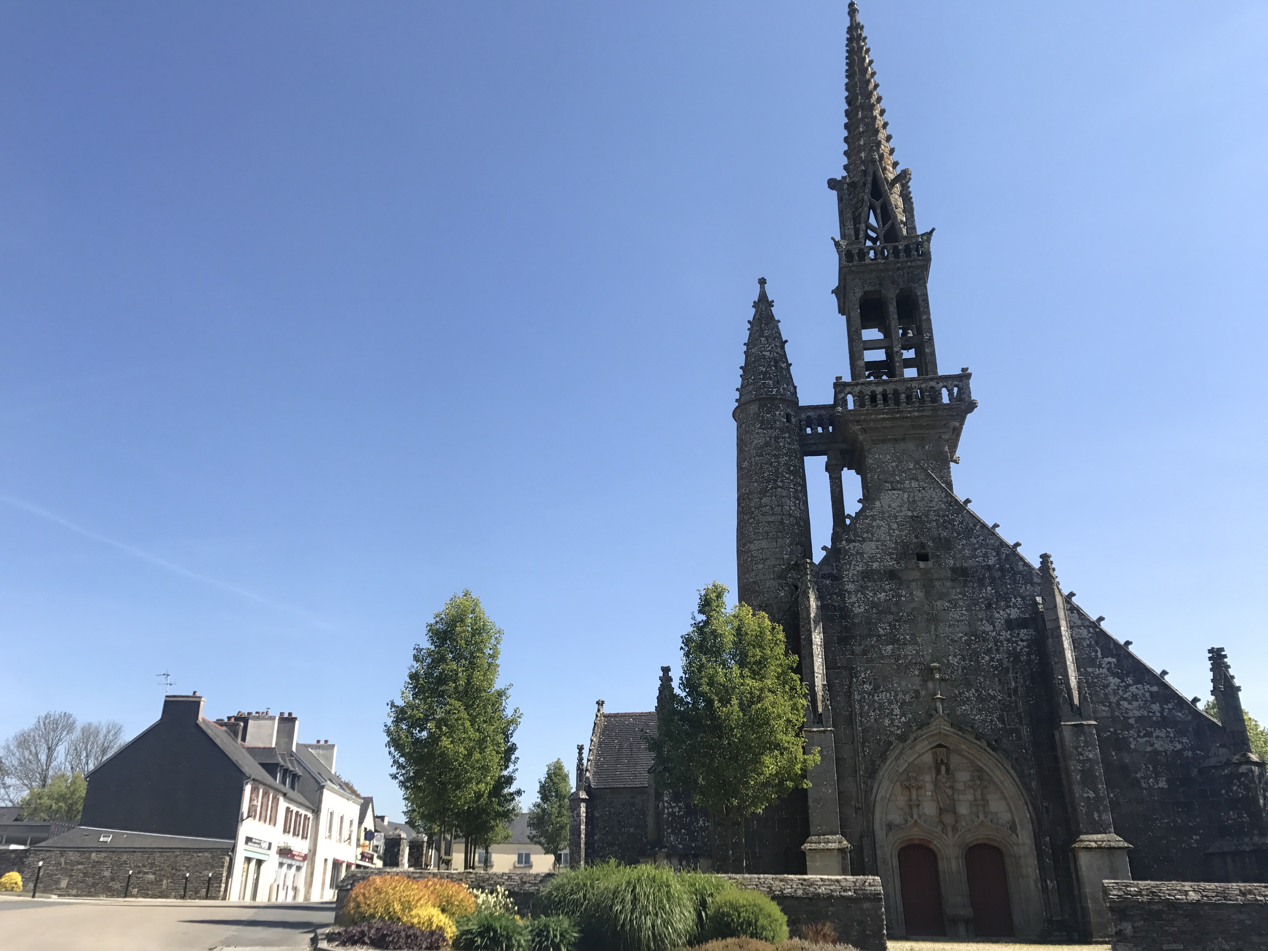
I must have stayed in town for lunch, based on the timestamps of my photos, though I have no particular recollection of it. I did stop at an ATM and a bar for a recharge of my phone’s data plan.1)
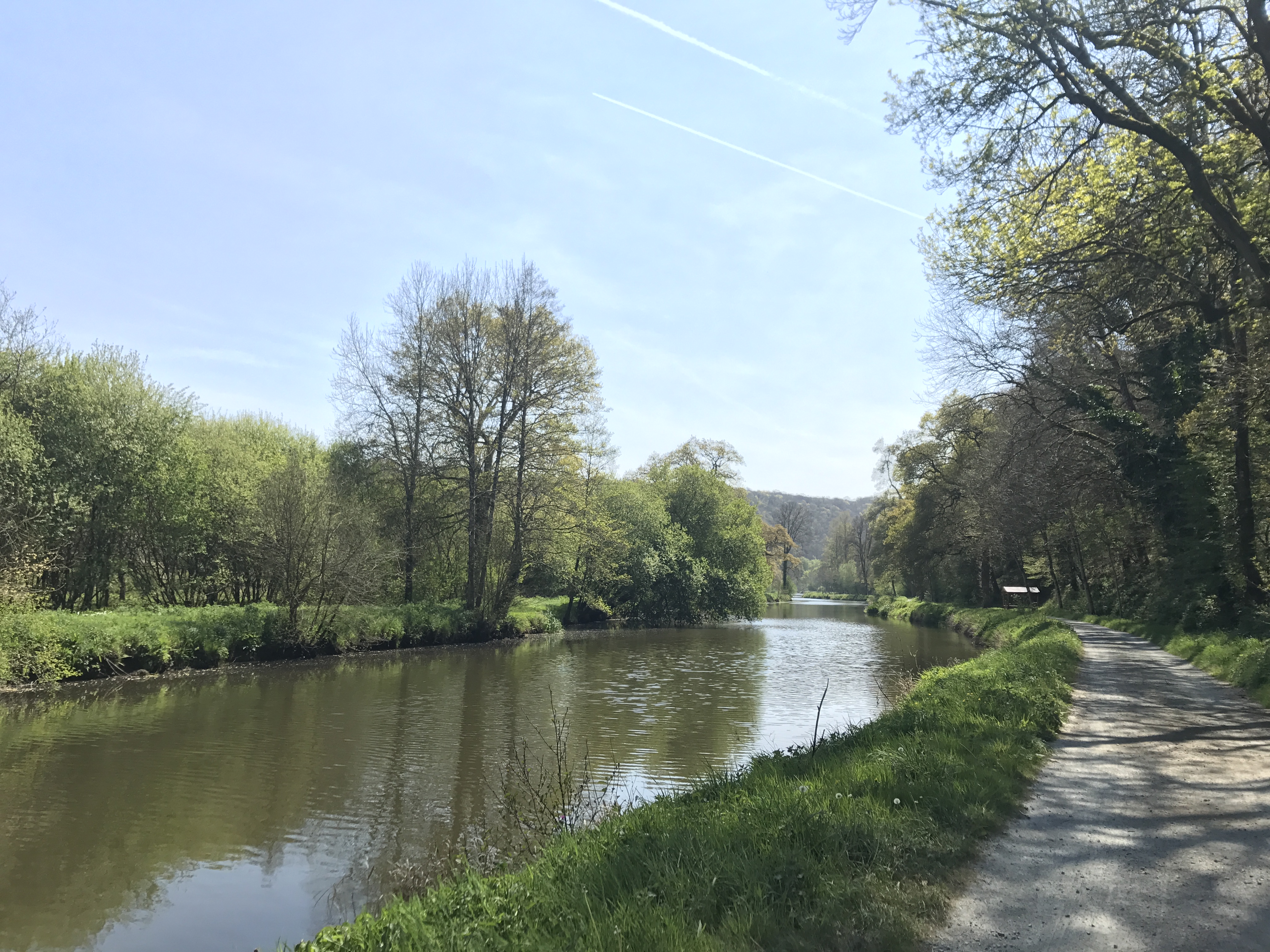
A short while later, the trail descended to the Nantes–Brest Canal, which the trail would follow on and off for the next week and a half.
After a short distance, I reached the gîte I was aiming for, at Port de Carhaix. However (this will come as no surprise to people who’ve been reading this whole journal), it wasn’t yet open for the season, at which point I was at a loss. I found internet references to a cute little place ahead on the trail, called les ânes sont dans le pré (“the donkeys are in the meadow”), but they didn’t immediately respond to my request for a room. Not having any better plan, I decided to diverge from the GR 37 (the trail headed up from the canal to Carhaix-Plouguer, and then back down) and head straight along the canal to les ânes.
I got there as evening was starting to fall, disturbing the owners from their peaceful dinner on their patio (along with their dog, cats, and chickens, and donkeys in a nearby field). They were incredibly kind and accomodating, and I met some of the animals, ate the last of my bread and salami, and turned in for the night.

-
I brought my phone with me from home, but bought a prepaid local SIM in Paris before I headed out to Brittany. This needed periodic recharging, and was a source of stress for a while until I figured out how to refill it online before the plan was close to draining. (The carrier’s web site remained available even when I didn’t have any data left, so in theory I could refill it online even when I was out of data, but payment redirected me to another site which the carrier didn’t provide access to.) ↩︎