pile.org
2017 E5 walk, day 39: La Filtière to le Neufbourg
48°45′19.5″N
48°39′16.6″N
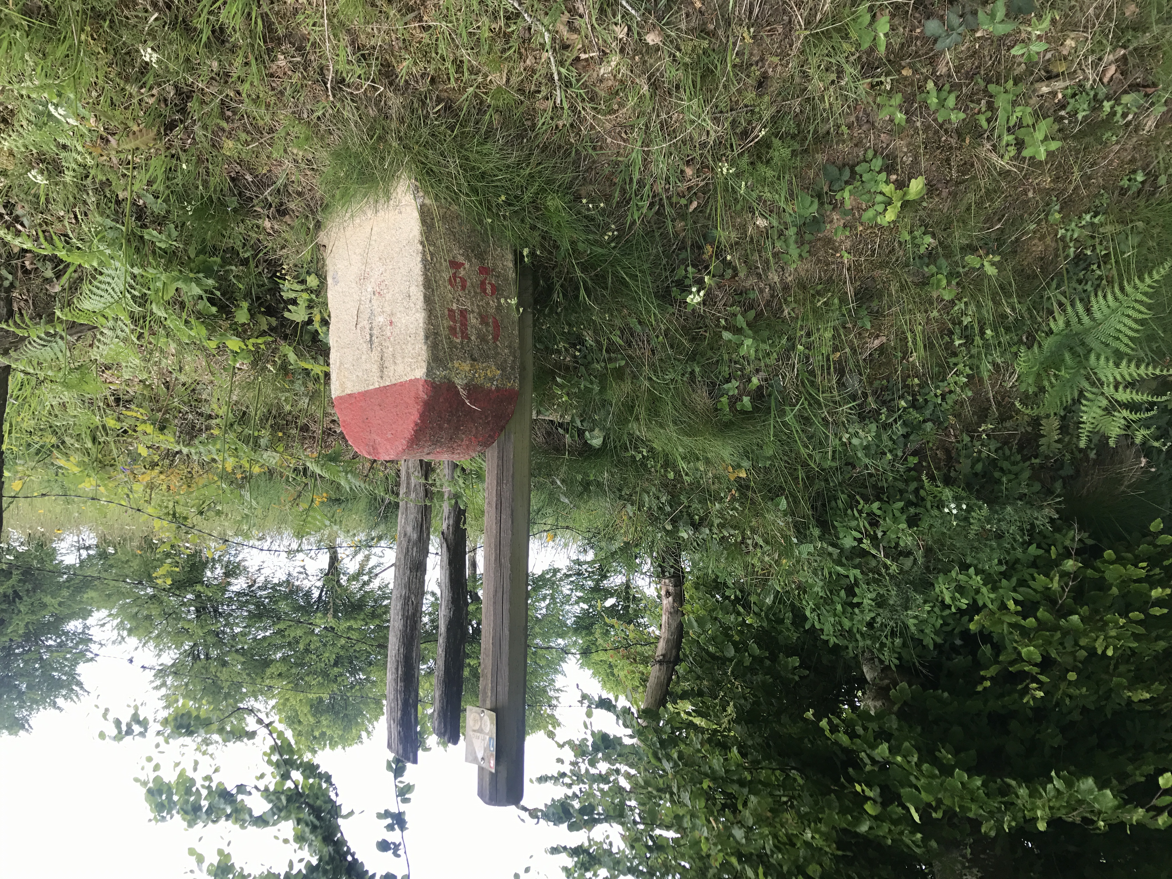
On returning to the trail, I followed it briefly up to the north-northwest to the village of Saint-Michel-de-Montjoie, where it turned and went south-southeast for the rest of the day.1
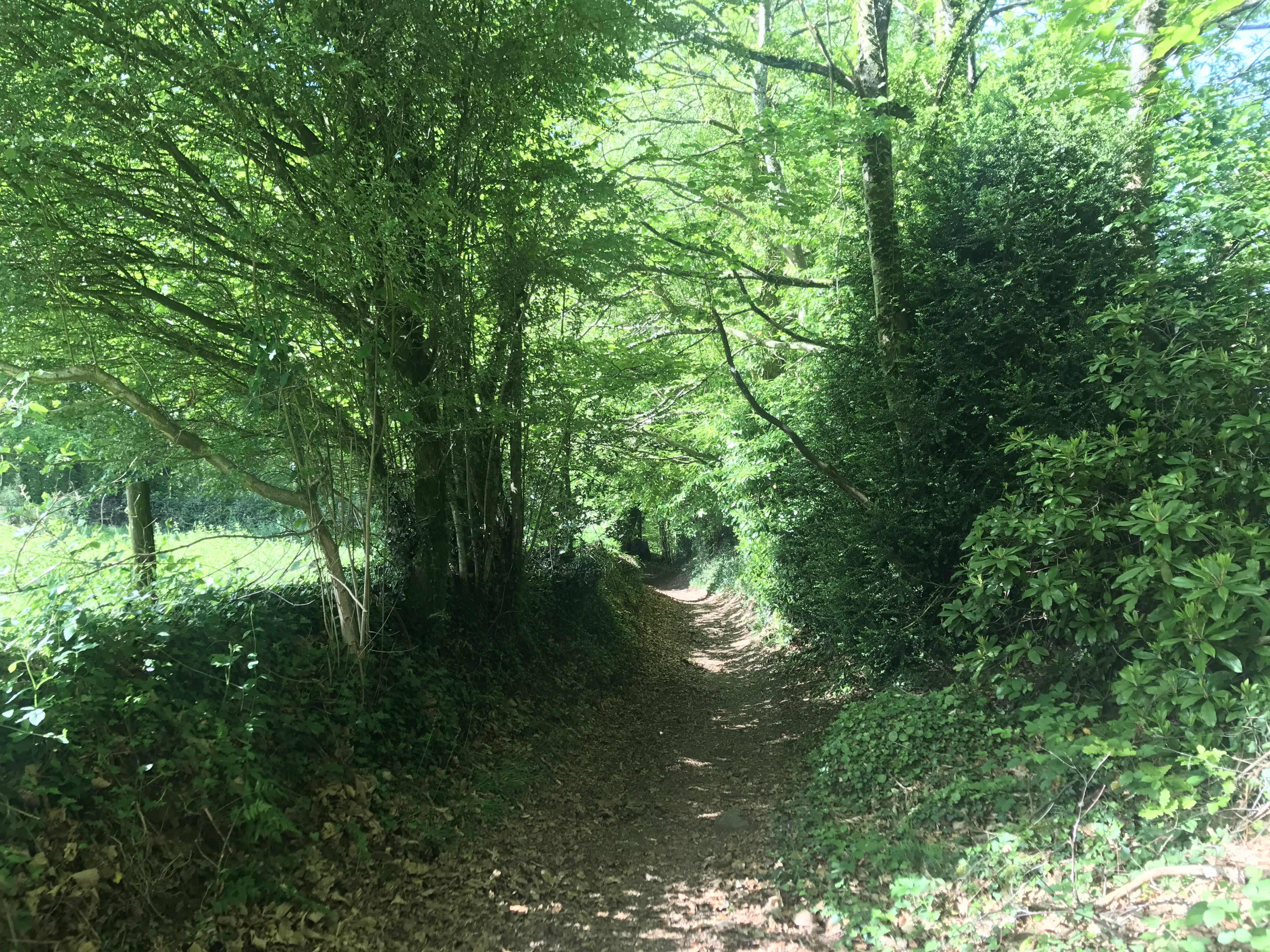
The first part of the day roughly followed the valley of a stream called the Ruisseau de Pierre Zure. I don’t remember this valley in particular, but often when I walked through a steep-sided valley, I lost cell phone reception (usually more of an annoyance than a significant problem).

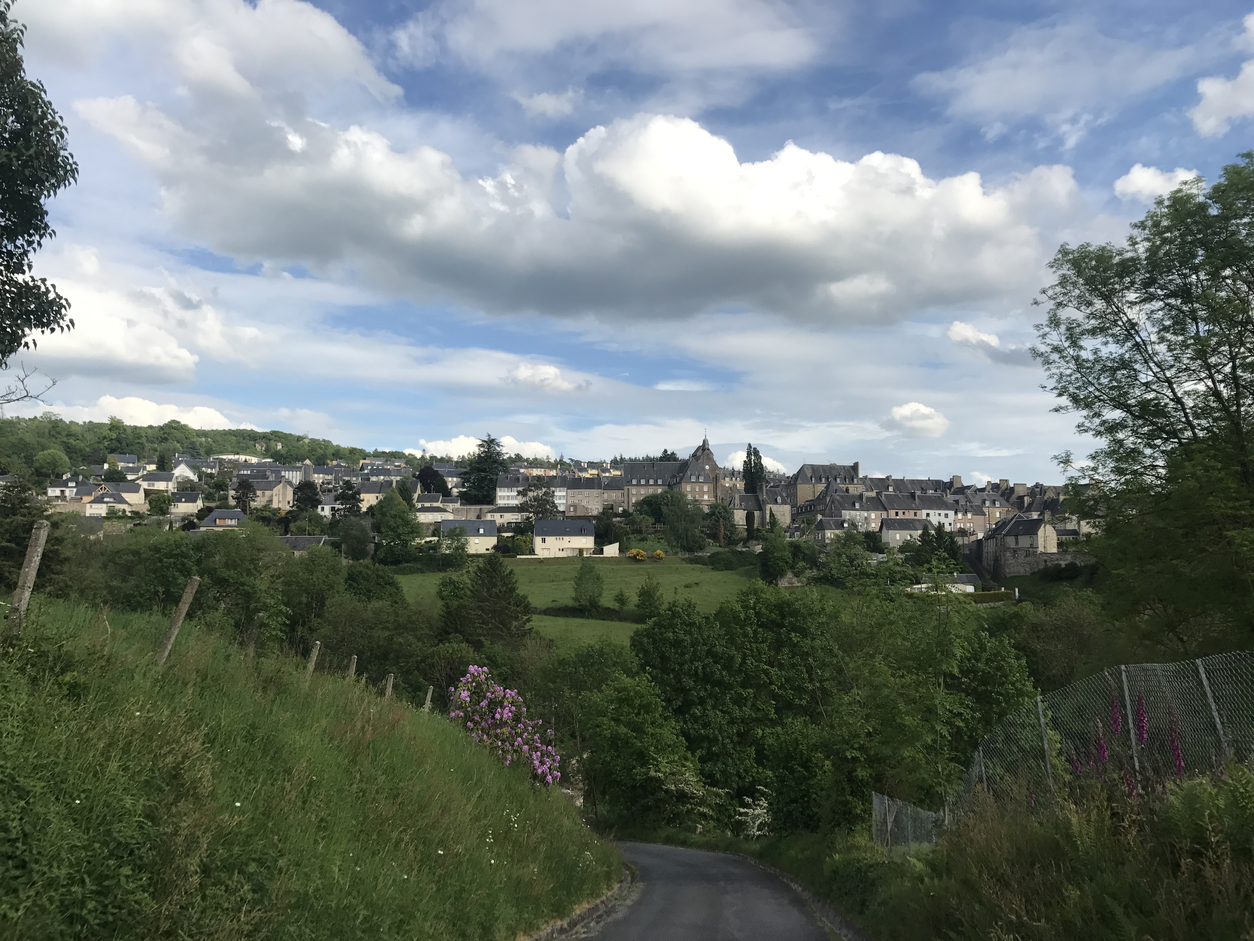
After briefly following the Sée valley east, the trail headed south-southeast again, towards my destination, the town of le Neufbourg.
Le Neufbourg was the smaller of a pair of towns separated by the river Cance; I would pass through Mortain, the larger, the next morning. I was going to stay in le Neufbourg’s municipal gîte d’etape, but since the mairie (city hall) was closed for the mid-afternoon and it was the hottest day of the walk so far, I stopped first at a pizzeria called la Petite Cascade for an Orangina. Once the mairie opened, I got the key and headed a block or so up to the gîte. There was one other person staying there, a young man who traveled from town to town installing high-speed internet lines.
For dinner, I crossed the Cance to eat at Kebab Mortain, where I tried to read district-by-district results from the recent national election. Afterwards, I got some Turkish delight, which I took back to the gîte and ate while I did laundry.

-
In my mind’s eye, I spent the weeks from Mont-Saint-Michel to Paris traveling basically due east, but in practice, the GR 22 veered north and significantly south of the hypothetical straight line. ↩︎